Near Ringgold in Catoosa County, Georgia — The American South (South Atlantic)
4th Michigan Cavalry
Minty's Brigade
— Crook's Division —
Cavalry
September 18th, 1863, 4 p.m.
Erected 1895 by the State of Michigan. (Marker Number MT-886.)
Topics. This historical marker is listed in this topic list: War, US Civil. A significant historical date for this entry is September 18, 1863.
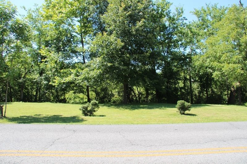
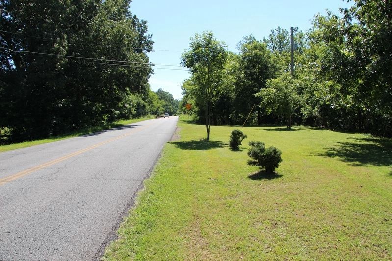
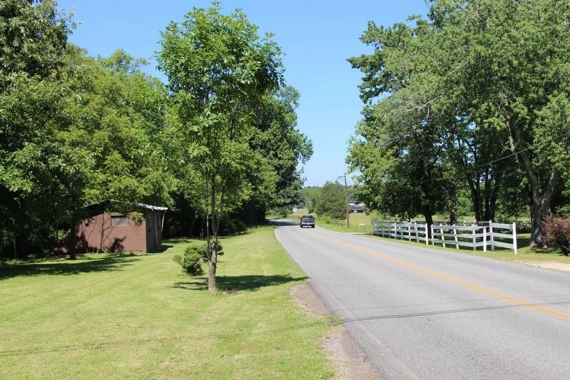
Location. Marker is missing. It was located near 34° 55.787′ N, 85° 13.152′ W. Marker was near Ringgold, Georgia, in Catoosa County. Marker was on Reed's Bridge Road, 0.6 miles east of Jay's Mill Road, on the left when traveling east. Touch for map. Marker was in this post office area: Ringgold GA 30736, United States of America. Touch for directions.
Other nearby markers. At least 8 other markers are within walking distance of this location. 86th Illinois Infantry (within shouting distance of this marker); 125th Illinois Infantry (within shouting distance of this marker); 2nd Illinois Light Artillery (within shouting distance of this marker); 85th Illinois Infantry (about 300 feet away, measured in a direct line); Reed's Bridge (approx. 0.2 miles away); Minty's Cavalry Brigade (approx. half a mile away); Johnson's Provisional Division (approx. 0.6 miles away); Dibrell's Brigade (approx. 0.6 miles away).
More about this marker. According to James Ogden, the historian for the Chickamauga and Chattanooga National Military Park, this particular marker, "used to stand along Reed's Bridge Road 100 yards west of creek but which is now in storage in the maintenance area." He then adds, "Records do not indicate when it was removed from the field ... I suspect it may have been removed when the State of Georgia built the current Reed's Bridge in the mid-'70s."
Credits. This page was last revised on July 16, 2017. It was originally submitted on May 2, 2017, by Dale K. Benington of Toledo, Ohio. This page has been viewed 380 times since then and 30 times this year. Photos: 1. submitted on May 2, 2017, by Dale K. Benington of Toledo, Ohio. 2, 3, 4. submitted on July 14, 2017, by Dale K. Benington of Toledo, Ohio.


