Near Spotsylvania Courthouse in Spotsylvania County, Virginia — The American South (Mid-Atlantic)
The Landram House
The Battle of Spotsylvania Court House
— Fredericksburg and Spotsylvania National Military Park —
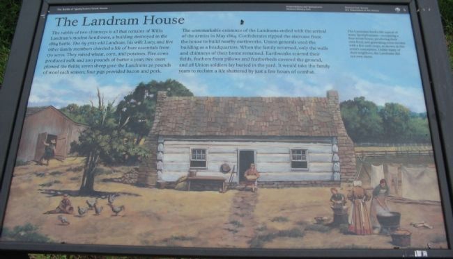
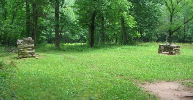
The rubble of two chimneys is all that remains of Willis Landram's modest farmhouse, a building destroyed in the 1864 battle. The 65-year-old Landram, his wife Lucy, and five other family members chiseled a life of bare essentials from 170 acres. They raised wheat, corn, and potatoes. Five cows produced milk and 200 pounds of butter a year; two oxen plowed the fields; seven sheep gave the Landrams 20 pounds of wool each season; four pigs provided bacon and pork.
The unremarkable existence of the Landrams ended with the arrival of the armies in May 1864. Confederates ripped the staircase from the house to build nearby earthworks. Union generals used the building as a headquarters. When the family returned, only the walls and chimneys of their home remained. Earthworks scarred their fields, feathers from pillows and featherbeds covered the ground, and 28 Union soldiers lay buried in the yard. It would take the family years to reclaim a life shattered by just a few hours of combat.
Erected by National Park Service, U.S. Department of the Interior.
Topics. This historical marker is listed in this topic list: War, US Civil. A significant historical month for this entry is May 1864.
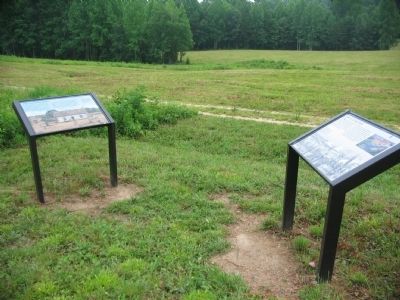
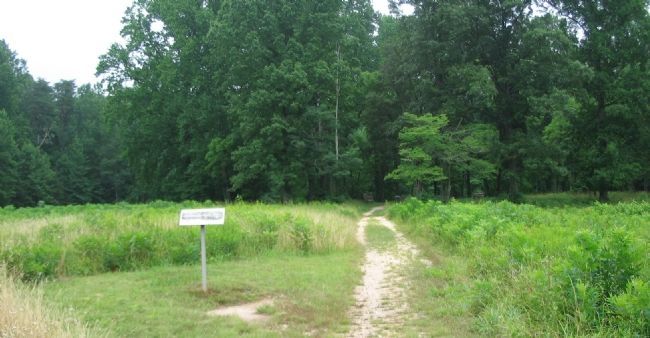
Location. 38° 13.654′ N, 77° 35.714′ W. Marker is near Spotsylvania Courthouse , Virginia, in Spotsylvania County. Marker can be reached from Grant Drive, on the left when traveling east. Located on the Bloody Angle trail at tour stop three (Bloody Angle) on the driving tour of Spotsylvania Battlefield unit of the Fredericksburg and Spotsylvania National Military Park. Touch for map. Marker is in this post office area: Spotsylvania VA 22553, United States of America. Touch for directions.
Other nearby markers. At least 8 other markers are within walking distance of this marker. Farm to Killing Field (here, next to this marker); a different marker also named Landram House (about 500 feet away, measured in a direct line); Landram Farm (about 500 feet away); Vista Clearing at Spotsylvania (approx. 0.2 miles away); Dawn Assault (approx. 0.3 miles away); Spotsylvania Campaign (approx. 0.3 miles away); a different marker also named Spotsylvania Campaign (approx. 0.3 miles away); Fatal Mistake at the East Angle (approx. 0.3 miles away). Touch for a list and map of all markers in Spotsylvania Courthouse.
More about this marker. In the background of the marker, The Landrams lived a life typical of many Spotsylvanians - occupying a four-room house, producing their own food, and generating extra income with a few cash crops, as shown in this artist's conception. Unlike many of their neighbors, the Landrams did not own slaves.
Also see . . . Bloody Angle. National Park Service website
entry (Submitted on August 16, 2008, by Craig Swain of Leesburg, Virginia.)
Credits. This page was last revised on December 10, 2022. It was originally submitted on August 16, 2008, by Craig Swain of Leesburg, Virginia. This page has been viewed 1,305 times since then and 37 times this year. Photos: 1. submitted on August 16, 2008, by Craig Swain of Leesburg, Virginia. 2. submitted on August 15, 2008, by Craig Swain of Leesburg, Virginia. 3, 4. submitted on August 16, 2008, by Craig Swain of Leesburg, Virginia.


