Teakwood in Columbus in Franklin County, Ohio — The American Midwest (Great Lakes)
Alum Creek & The Underground Railroad / The Underground Railroad
— Historic Underground Railroad Site —
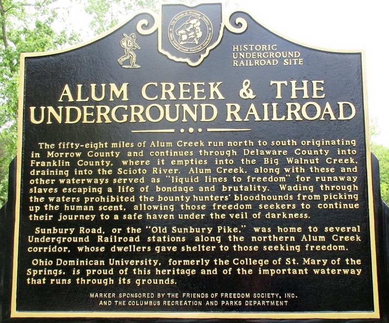
Alum Creek & The Underground Railroad
The fifty-eight miles of Alum Creek run north to south originating in Morrow County and continues through Delaware County into Franklin County, where it empties into the Big Walnut Creek, draining into the Scioto River. Alum Creek, along with these and other waterways served as “liquid lines to freedom” for runaway slaves escaping a life of bondage and brutality. Wading through the waters prohibited the bounty hunters’ bloodhounds from picking up the human scent, allowing those freedom seekers to continue their journey to a safe haven under the veil of darkness. Sunbury Road, or the “Old Sunbury Pike,” was home to several Underground Railroad stations along the northern Alum Creek corridor, whose dwellers gave shelter to those seeking freedom. Ohio Dominican University, formerly, the College of St. Mary of the Springs, is proud of this heritage and the important waterway that runs through its grounds.
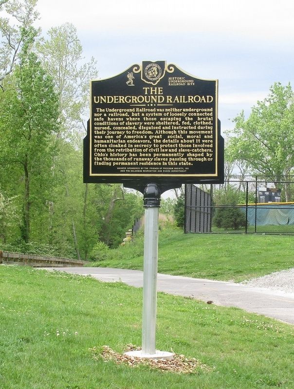
The Underground Railroad
The Underground Railroad was neither underground nor a railroad, but a system of loosely connected safe havens where those escaping the brutal conditions of slavery were sheltered, fed, clothed, nursed, concealed, disguised, and instructed during their journey to freedom. Although this movement was one of America's greatest social, moral, and humanitarian endeavors, the details about it were often cloaked in secrecy to protect those involved from the retribution of civil law and slave-catchers. Ohio's history has
Erected 2017 by the Friends of Freedom Society, Inc. the Columbus Recreation and Parks Department.
Topics. This historical marker is listed in these topic lists: Abolition & Underground RR • African Americans.
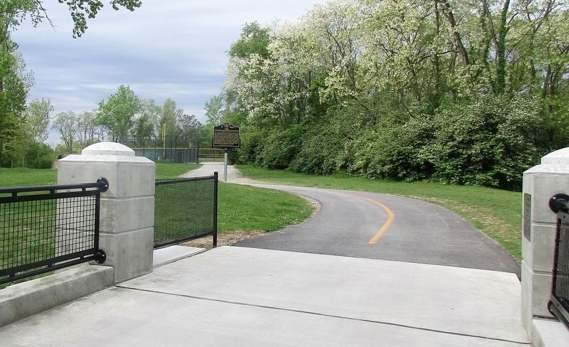
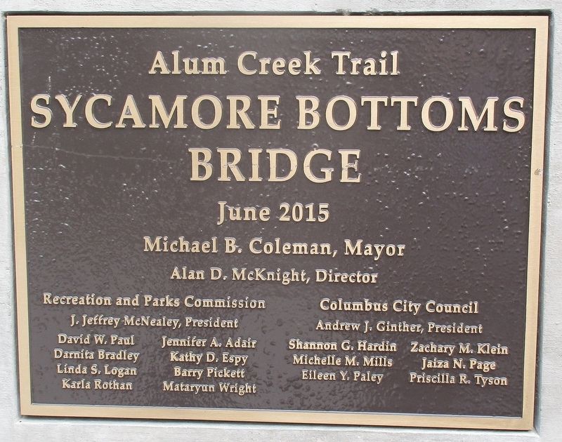
Location. 39° 59.653′ N, 82° 56.275′ W. Marker is in Columbus, Ohio, in Franklin County. It is in Teakwood. Marker can be reached from Alum Creek Trail. marker is on the “Alum Creek Trail”, at the west end of the Sycamore Bottom Bridge accessible from the parking lot of the East Campus Building on the grounds of Ohio Dominican University. Touch for map. Marker is at or near this postal address: 2600 Airport Dr, Columbus OH 43219, United States of America. Touch for directions.
Other nearby markers. At least 8 other markers are within 2 miles of this marker, measured as the crow flies. Ohio Dominican University Est. 1911 / Early Sister-Founderesses of Ohio Dominican University (approx. 0.2 miles away); Spirit of the Springs (approx. ¼ mile away); Saint Mary of the Springs Academy / Anne O'Hare McCormick 1880-1954 (approx. 0.3 miles away); Aminah Brenda Lynn Robinson Home Studio and Artist's Residence (approx. 0.9 miles away); The Jeffrey Mansion & Park (approx. 1½ miles away); Bexley (approx. 1.7 miles away); Camp Bushnell (approx. 1.7 miles away); Bexley World War II Memorial (approx. 1.7 miles away). Touch for a list and map of all markers in Columbus.
Credits. This page was last revised on February 3, 2023. It was originally submitted on May 9, 2017, by Rev. Ronald Irick of West Liberty, Ohio. This page has been viewed 1,373 times since then and 149 times this year. Photos: 1, 2, 3, 4, 5. submitted on May 9, 2017, by Rev. Ronald Irick of West Liberty, Ohio. • Bill Pfingsten was the editor who published this page.
