Franklin in Williamson County, Tennessee — The American South (East South Central)
The Battle of Franklin
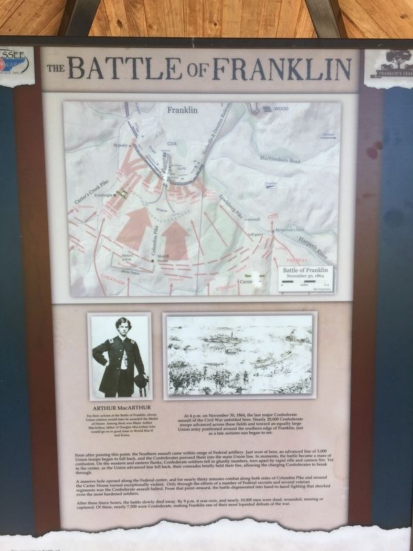
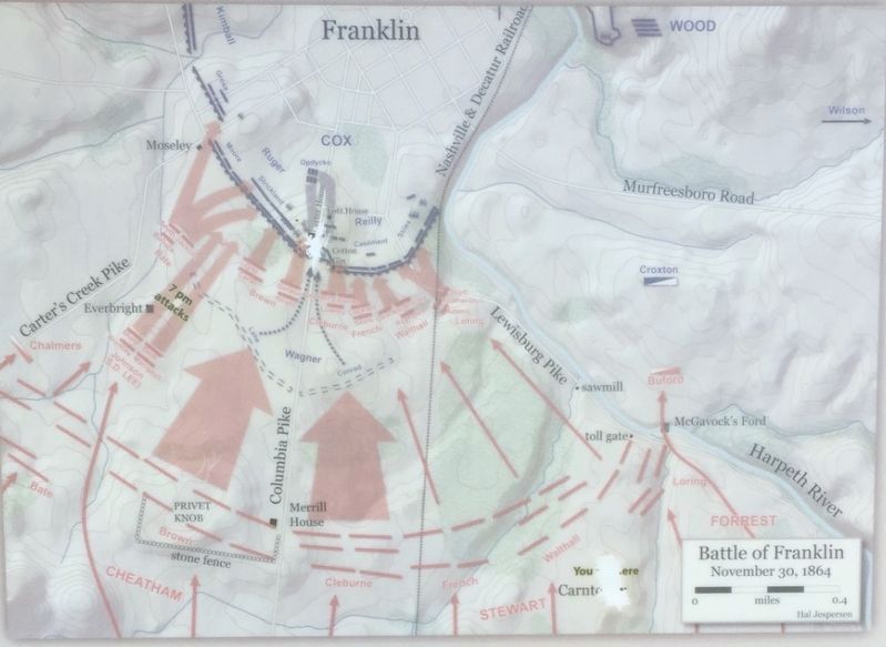
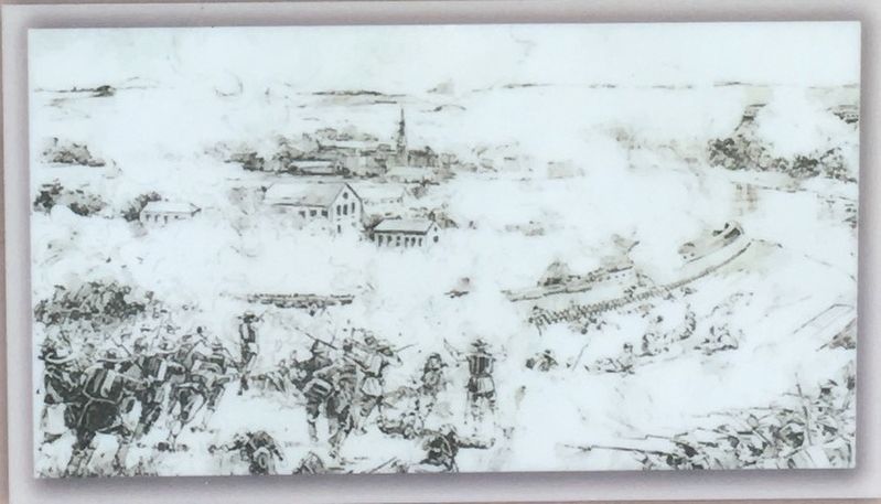
A massive hole opened along the Federal center, and for nearly thirty minutes combat along both sides of Columbia Pike and around the Carter House turned exceptionally violent. Only through the efforts of a number of Federal recruits and several veteran regiments was the Confederate assault halted. From that point onward, the battle degenerated into hand-to-hand fighting that shocked even the most hardened soldiers.
After three fierce hours, the battle slowly died away. By 9 p.m. it was over, and nearly 10,000 men were dead, wounded, missing, or captured. Of these, nearly 7,500 were Confederates making Franklin one of their most lopsided defeats of the war.
(sidebar)
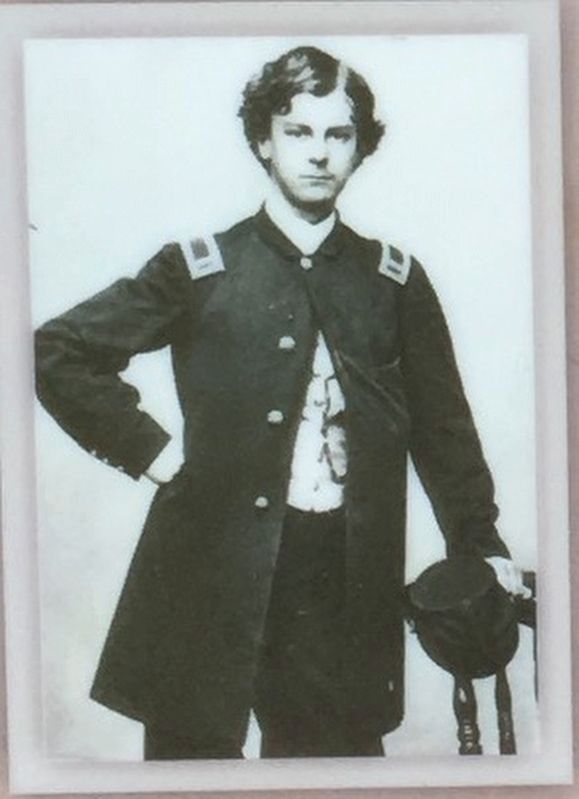
For their actions at the Battle of Franklin, eleven Union soldiers would later be awarded the Medal of Honor. Among them was Major Arthur MacArthur, father of Douglas MacArthur who would go on to great fame in World War II and Korea.
At 4 p.m. on November 30, 1864, the last major Confederate assault of the Civil War unfolded here. Nearly 20,000 Confederate troops advanced across these fields and toward an equally large Union army positioned around the southern edge of Franklin, just as a late autumn sun began to set.
Erected by Franklin's Charge.
Topics. This historical marker is listed in this topic list: War, US Civil. A significant historical date for this entry is November 30, 1864.
Location. 35° 54.297′ N, 86° 51.519′ W. Marker is in Franklin, Tennessee, in Williamson County. Marker can be reached from Eastern Flank Circle, 0.4 miles south of Lewisburg Pike (Business U.S. 431), on the right when traveling west. Located in Eastern Flank Battlefield Park. Touch for map. Marker is at or near this postal address: 1345 Eastern Flank Cir, Franklin TN 37064, United States of America. Touch for directions.
Other nearby markers. At least 8 other markers are within walking distance of this marker. Hood's Retreat (here, next to this marker); The Final Campaign 1864 (here, next to this marker); Standing at the Crossroads 1861 (here, next to this marker); Becoming the Front Line 1862 (here, next to this marker); A Crucial War Zone 1863 (here, next to this marker); Battle of Franklin, Eastern Flank (a few steps from this marker); a different marker also named Battle of Franklin, Eastern Flank (within shouting distance of this marker); a different marker also named Battle of Franklin, Eastern Flank (within shouting distance of this marker). Touch for a list and map of all markers in Franklin.
Also see . . . The Battle of Franklin. (Submitted on May 11, 2017, by Brandon Stahl of Fairfax, Virginia.)
Credits. This page was last revised on December 21, 2021. It was originally submitted on May 11, 2017, by Brandon Stahl of Fairfax, Virginia. This page has been viewed 307 times since then and 21 times this year. Last updated on December 20, 2021, by Bradley Owen of Morgantown, West Virginia. Photos: 1, 2, 3, 4, 5, 6. submitted on May 11, 2017, by Brandon Stahl of Fairfax, Virginia. • J. Makali Bruton was the editor who published this page.
