Iron River in Iron County, Michigan — The American Midwest (Great Lakes)
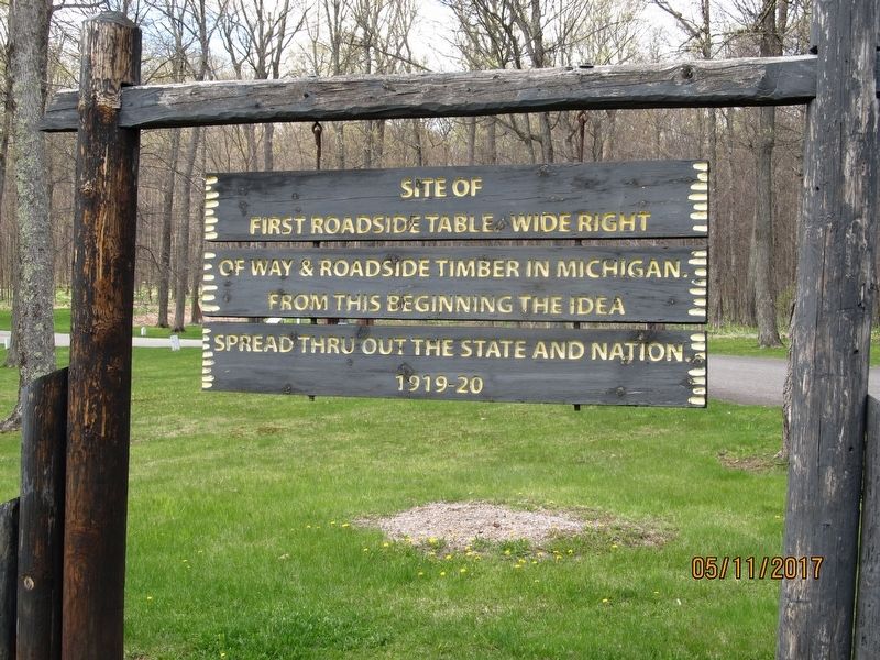
First Roadside Park
Inscription.
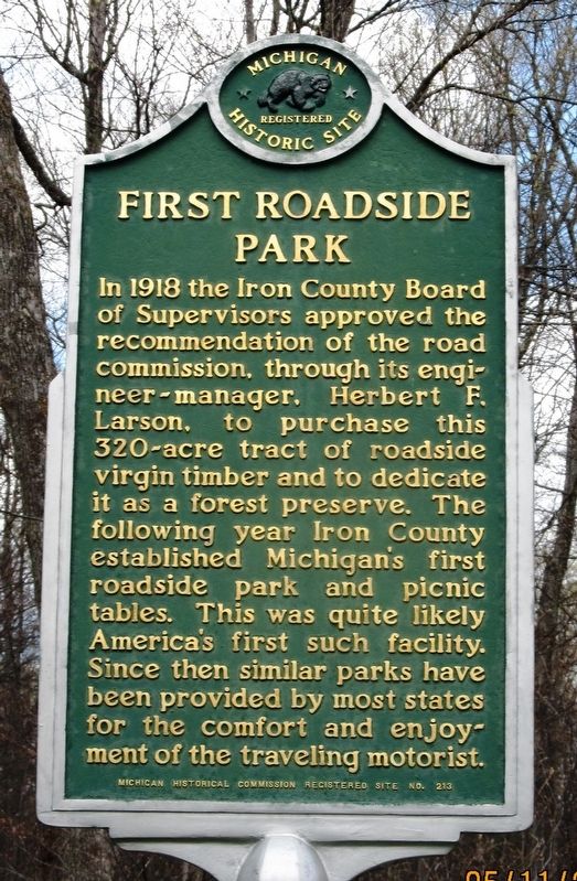
In 1918 the Iron County Board of Supervisors approved the recommendation of the road commission, through its engineer-manager, Herbert F. Larson, to purchase this 320-acre tract of roadside virgin timber and to dedicate it as a forest preserve. The following year Iron County established Michigan’s first roadside park and picnic tables. This was quite likely America’s first such facility. Since then similar parks have been provided by most states for the comfort and enjoyment of the traveling motorist.
Erected 1964 by Michigan Historical Commission. (Marker Number 213.)
Topics and series. This historical marker is listed in these topic lists: Parks & Recreational Areas • Roads & Vehicles. In addition, it is included in the Michigan Historical Commission series list. A significant historical year for this entry is 1918.
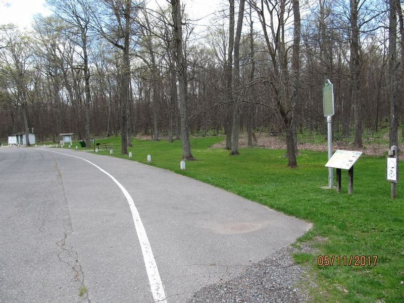
Location. 46° 6.402′ N, 88° 32.784′ W. Marker is in Iron River, Michigan, in Iron County. Marker can be reached from U.S. 2. Marker is located in a U.S. Hwy 2 rest area approximately 4 miles east of Iron River, on the north side of the highway. Touch for map. Marker is in this post office area: Iron River MI 49935, United States of America. Touch for directions.
Other nearby markers. At least 8 other markers are within 5 miles of this marker, measured as the crow flies. Larson Park (here, next to this marker); The Beechwood Cabin (approx. 4.6 miles away); Brule Homestead Cabin (approx. 4.6 miles away); The Puotinen Barn (approx. 4.7 miles away); The Finnish Sauna (approx. 4.7 miles away); The Sunset Lake Home (approx. 4.7 miles away); Sharrard Logging Camp (approx. 4.7 miles away); Iron County Homestead Complex (approx. 4.7 miles away).
Credits. This page was last revised on October 18, 2018. It was originally submitted on May 17, 2017, by Paul Fehrenbach of Germantown, Wisconsin. This page has been viewed 419 times since then and 59 times this year. Last updated on October 18, 2018, by Paul Fehrenbach of Germantown, Wisconsin. Photos: 1, 2, 3. submitted on May 17, 2017, by Paul Fehrenbach of Germantown, Wisconsin. • Andrew Ruppenstein was the editor who published this page.


