Washington Township near Waynesboro in Franklin County, Pennsylvania — The American Northeast (Mid-Atlantic)
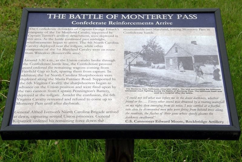
The Battle of Monterey Pass
Confederate Reinforcements Arrive
Around 3:30 A.M., as the Union cavalry broke through the Confederate battle line, the Confederate provost guard ordered the remaining wagons coming from Fairfield Gap to halt, sparing them from capture. In addition, the 1st North Carolina Sharpshooters were deployed along the Maria Furnace Road. Supported by the 6th Virginia Cavalry, the sharpshooters began to advance on the Union position. Amidst the confusion, the 6th Virginia Cavalry retreated and refused to come up to Monterey Pass until daylight.
General Alfred Iverson’s North Carolina Brigade arrived at dawn, capturing several Union prisoners. General Kilpatrick deployed his remaining force down the mountainside into Maryland, leaving Monterey Pass in Confederate hands.
“I could not tell what was before me in the dense darkness, whether friend or foe… Every other sound was drowned out by a roaring waterfall on my right; then emerging from its noise, I was carried at a fearful rate close by dismounted men who were firing from behind trees along the roadside , the flashes of their guns whose speedy gleams the darkness followed.”
C.S. Cannoneer Edward Moore, Rockbridge Artillery
Topics. This historical marker is listed in this topic list: War, US Civil. A significant historical date for this entry is July 5, 1863.
Location. 39° 44.301′ N, 77° 28.772′ W. Marker is near Waynesboro, Pennsylvania, in Franklin County. It is in Washington Township. Marker is on Charmian Road east of Buchanan Trail East (Pennsylvania Route 16), on the left when traveling west. Touch for map. Marker is at or near this postal address: 34 Charmian Rd, Waynesboro PA 17268, United States of America. Touch for directions.
Other nearby markers. At least 8 other markers are within walking distance of this marker. A different marker also named The Battle of Monterey Pass (a few steps from this marker); Brown's Spring (a few steps from this marker); South Mountain (within shouting distance of this marker); a different marker also named The Battle of Monterey Pass (within shouting distance of this marker); Corporal Joseph Brubaker, Jr. (within shouting distance of this marker); Battle of Monterey Pass / Michigan Cavalry Brigade (within shouting distance of this marker); The Retreat From Gettysburg (within shouting distance of this marker); 3-Inch Ordnance Rifle (within shouting distance of this marker). Touch for a list and map of all markers in Waynesboro.
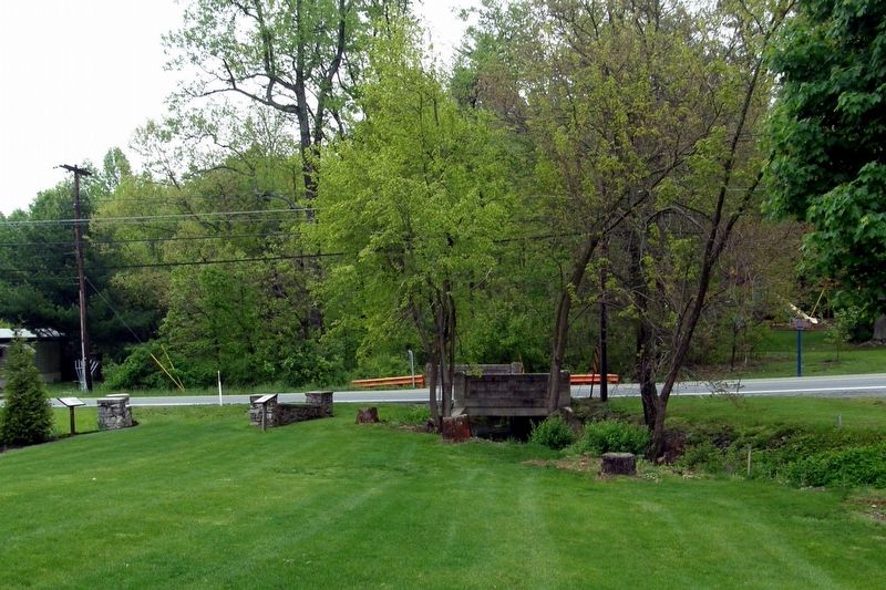
More about this marker. This and the adjacent marker continue and complete the story of the fighting in this area related on the "Billy Yank Trail" across the road.
Credits. This page was last revised on February 7, 2023. It was originally submitted on May 18, 2017, by Larry Gertner of New York, New York. This page has been viewed 412 times since then and 24 times this year. Last updated on June 9, 2019, by Larry Gertner of New York, New York. Photos: 1, 2, 3, 4. submitted on May 18, 2017, by Larry Gertner of New York, New York. • Bernard Fisher was the editor who published this page.


