Wythe in Hampton, Virginia — The American South (Mid-Atlantic)
Stalemate in Hampton Roads
In a “big glass case”
— 1862 Peninsula Campaign —
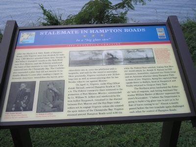
On April 11, Virginia, under Flag Officer Josiah Tattnall, entered Hampton Roads at 7:10 A.M. The Federal transports there scattered to the protection of Fort Monroe. Monitor, commanded by Lt. William N. Jeffers and reinforced by the iron-hulled Naugatuck, remained in the channel between Fort Monroe and the Rip-Raps under orders not to engage Virginia unless she entered the open waters of Chesapeake Bay. Virginia steamed around Hampton Roads until 4:00 P.M. while the Federal fleet watched, hoping that Monitor would attack. Lt. Joseph N. Barney in CSS Jamestown, meanwhile, captured two Union brigs and an Accomac schooner along Hampton Flats in front of you. Virginia, flying the captured flags upside-down in disdain, fired at Naugatuck and finally returned to Gosport Navy Yard.
The Northern press lambasted the Federals’ lack of response, and Acting Assistant Paymaster William Keeler of Monitor expressed the crew’s frustration: “I believe the Department is going to build a big glass case to put us in for fear of harm coming to us.” Almost a month passed before the two ironclads again challenged each other for control of Hampton Roads.
Erected by Virginia Civil War Trails.
Topics and series. This historical marker is listed in these topic lists: Military • Notable Events • War, US Civil • Waterways & Vessels. In addition, it is included in the Virginia Civil War Trails series list. A significant historical month for this entry is March 1916.
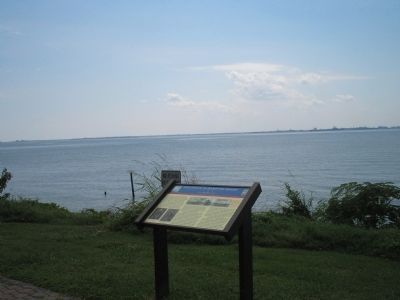
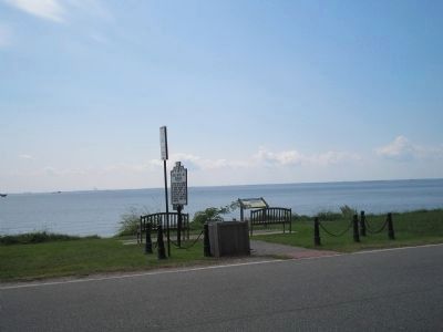
Location. 37° 0.149′ N, 76° 21.665′ W. Marker is in Hampton, Virginia. It is in Wythe. Marker is at the intersection of Chesapeake Avenue (Virginia Route 167) and East Avenue, on the left when traveling west on Chesapeake Avenue. Touch for map. Marker is in this post office area: Hampton VA 23661, United States of America. Touch for directions.
Other nearby markers. At least 8 other markers are within walking distance of this marker. First Battle of Ironclads (here, next to this marker); Fertile Hunting Grounds For The Indians (about 500 feet away, measured in a direct line); The Development Of Olde Wythe (approx. 0.2 miles away); First Church at Kecoughtan (approx. 0.2 miles away); Olde Wythe During Colonial Times (approx. ¼ mile away); Admiral Sir George Cockburn on the Chesapeake / The War of 1812 (approx. 0.4 miles away); Hampton Roads – World’s Greatest Harbor (approx. 0.4 miles away); Wythe’s Birthplace (approx. 0.4 miles away). Touch for a list and map of all markers in Hampton.
More about this marker. The top of the marker contains a picture with the caption “CSS Virginia (center), steams around Hampton Roads while the U.S. fleet watches (left) and CSS Jamestown (right) captures two Federal brigs and a schooner. - Courtesy Newport News Division of Historic Services and Museums.” The lower left of the marker features photographs of CSS Virginia Commander “Capt. Josiah Tattnall, courtesy Newport News Division of Historic Services and Museums” and USS Monitor Commander “Lt. William N. Jeffers, Courtesy Library of Congress.”
Also see . . . Tidewater Virginia, The 1862 Peninsula Campaign. Civil War Traveler.
(Submitted on August 16, 2008, by Bill Coughlin of Woodland Park, New Jersey.)
Credits. This page was last revised on February 1, 2023. It was originally submitted on August 16, 2008, by Bill Coughlin of Woodland Park, New Jersey. This page has been viewed 1,671 times since then and 26 times this year. Photos: 1, 2, 3. submitted on August 16, 2008, by Bill Coughlin of Woodland Park, New Jersey.


