Near Brandy Station in Culpeper County, Virginia — The American South (Mid-Atlantic)
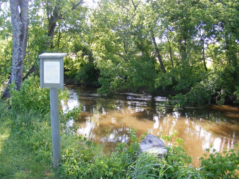
Norman's Mills Ford
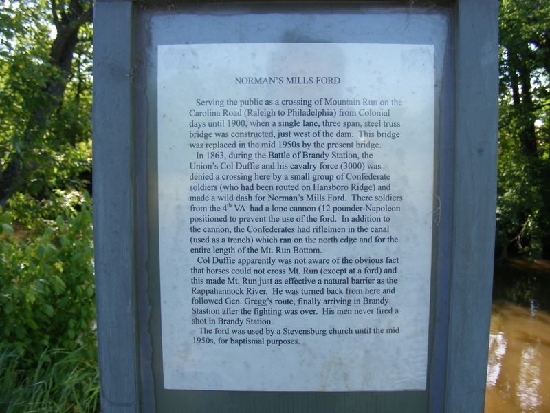
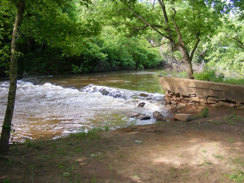
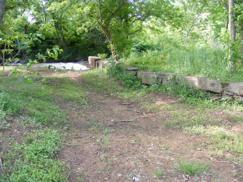
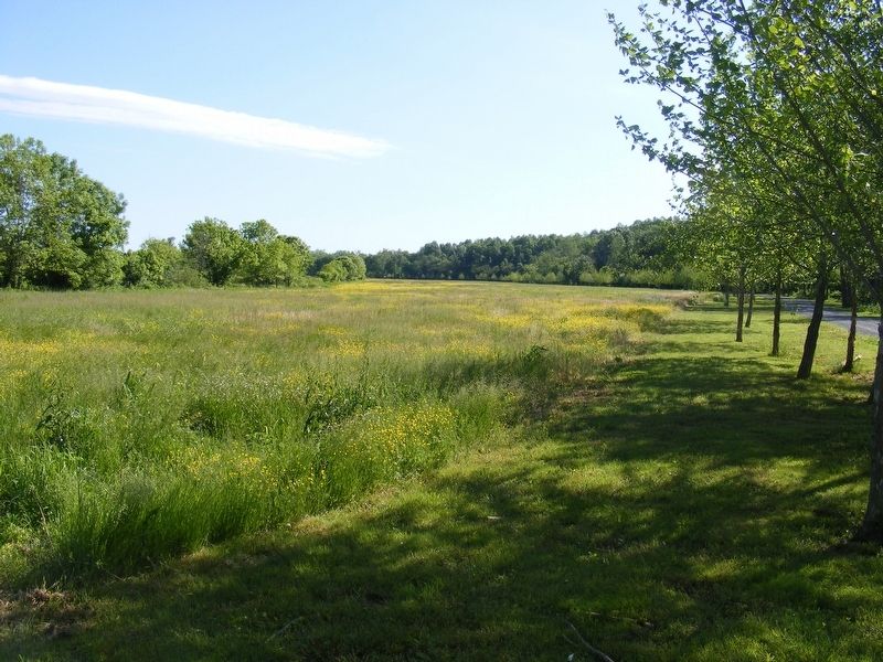
In 1863, during the Battle of Brandy Station, the Union's Col Duffie and his cavalry force (3000) was denied a crossing here by a small group of Confederate soldiers (who had been routed on Hansboro Ridge) and made a wild dash for Norman's Mills Ford. There soldiers from the 4th VA had a lone cannon (12 pounder-Napoleon) positioned to prevent the use of the ford. In addition to the cannon, the Confederates had riflemen in the canal (used as a trench) which ran on the north edge and for the entire length of the Mt. Run Bottom.
Col Duffie apparently was not aware of the obvious fact that horses could not cross Mt. Run (except at a ford) and this made Mt. Run just as effective a natural barrier as the Rappahannock River. He was turned back from here and followed Gen. Gregg's route, finally arriving in Brandy Stastion (sic) after the fighting was over. His men never fired a shot in Brandy Station.
The ford was used by a Stevensburg church until the mid 1950s, for baptismal purposes.
Topics. This historical marker is listed in this topic list: War, US Civil. A significant historical date for this entry is June 9, 1863.
Location. 38° 27.27′ N, 77° 53.856′ W. Marker is near Brandy Station, Virginia, in Culpeper County. Marker can be reached from Stevensburg Road south of Coles Hill Road, on the left when traveling south. Located within Lenn Park, near the picnic area alongside Mountain Run. Touch for map. Marker is at or near this postal address: 18063 Stevensburg Road, Brandy Station VA 22714, United States of America. Touch for directions.
Other nearby markers. At least 8 other markers are within walking distance of this marker. The Hold at Mountain Run (approx. 0.2 miles away); Hansborough Ridge (approx. 0.2 miles away); Battle of Brandy Station (approx. half a mile away); The Civil War in Stevensburg (approx. 0.9 miles away); a different marker also named The Civil War in Stevensburg (approx. one mile away); a different marker also named The Civil War in Stevensburg (approx. one mile away); a different marker also named The Civil War in Stevensburg (approx. one mile away); Battlefield Preservation (approx. one mile away). Touch for a list and map of all markers in Brandy Station.
More about this marker. A second marker describing the battle action here is located about a half-mile further downstream down a gravel path, at the actual crossing site of Duffie's troops.
Credits. This page was last revised on May 22, 2017. It was originally submitted on May 20, 2017, by Pete Payette of Orange, Virginia. This page has been viewed 652 times since then and 39 times this year. Photos: 1, 2, 3, 4, 5. submitted on May 20, 2017, by Pete Payette of Orange, Virginia. • Bernard Fisher was the editor who published this page.
