Near Brandy Station in Culpeper County, Virginia — The American South (Mid-Atlantic)
Hansborough Ridge
Inscription.
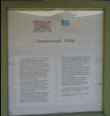
The Battle of Brandy Station actually occurred in several locations, miles apart. A mile in front of you is Hansborough Ridge. Late in the morning of June 9, 1863, a division of the Union Cavalry under Col. Alfred Duffie approached the ridge from the south along what is now Route 3. Duffie's 2nd Division of the Army of the Potomac's Cavalry Corps, about 3000 men and 6 cannon, was part of a larger force that had crossed the Rappahannock River earlier that morning at Kelly's ford. Other Union troops led by Brig. Gen. John Buford had crossed at Beverly ford, further upstream.
Duffie was ordered to reconnoiter Stevensburg and Germanna Plank Road (now Route 3) for evidence of Confederate Infantry. He was then to join the other Union columns at Brandy Station, five miles away, before a joint advance of the Confederate Cavalry reported to be at Culpeper Court House.
In attempting to cross Hansborough Ridge, the Federals were confronted by 200 troops of the 2nd South Carolina Cavalry under Col. Mathew C. Butler. Duffie hesitated. Finally, the 1st Massachusetts Cavalry charged, whether they simply lost patience or were ordered forward is unclear. They hurled themselves down the road and smashed into Butler's thin line of men, most of whom fought dismounted. The Federals plowed through the gap and hit the 4th Virginia Cavalry while these Confederates were still deploying. The greatly outnumbered Confederates then made a dash for the Norman's Mill ford, crossing over to the north side of Mt. Run where the lone cannon of the 4th Virginia Cavalry was placed guarding the 2 horse wide ford. This ford was the only place where horses could cross Mt. Run.
Since Duffie could not follow across the stream, the Confederates enjoyed their first "breathing spell" of the morning and immediately started organizing their defense, using Mt. Run as a natural barrier.
Hansborough Ridge was the site of the 2nd Corps and 2nd Cavalry Division, Army of the Potomac, winter camps during the winter of 1863-1864.
The hill at the far left is Signal Hill, used as a signal station throughout the war.
Topics. This historical marker is listed in this topic list: War, US Civil. A significant historical date for this entry is June 9, 1862.
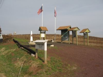
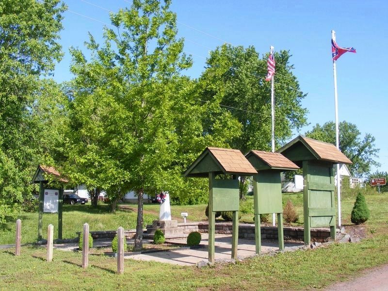
Location. 38° 27.352′ N, 77° 54.027′ W. Marker is near Brandy Station, Virginia, in Culpeper County. Marker is on Stevensburg Road (County Route 663), on the right when traveling north. Located at a kiosk at a Culpeper County park on Stevensburg Road. Touch for map. Marker is at or near this postal address: 18063 Stevensburg Road, Brandy Station VA 22714, United States of America. Touch for directions.
Other nearby markers. At least 8 other markers are within 2 miles of this marker, measured as the crow flies. The Hold at Mountain Run (here, next to this marker); Norman's Mills Ford (approx. 0.2
miles away); Battle of Brandy Station (approx. 0.6 miles away); The Civil War in Stevensburg (approx. 1.1 miles away); a different marker also named The Civil War in Stevensburg (approx. 1.1 miles away); a different marker also named The Civil War in Stevensburg (approx. 1.1 miles away); a different marker also named The Civil War in Stevensburg (approx. 1.1 miles away); Battlefield Preservation (approx. 1.1 miles away). Touch for a list and map of all markers in Brandy Station.
Regarding Hansborough Ridge. This is one of several markers interpreting the Battle of Brandy Station and the winter encampments of 1863-64 in Culpeper County. See the Battle of Brandy Station Virtual Tour by Markers linked below for additional related markers.
Also see . . .
1. Battle of Brandy Station. National Park Service guide to the battle, including a driving tour. (Submitted on January 21, 2008, by Craig Swain of Leesburg, Virginia.)
2. Battle of Brandy Station Virtual Tour by Markers. A set markers that document the Battle of Brandy Station, June 9, 1863, and the Winter Encampment of 1863-64. Note the order of appearance is geographic and not chronologically aligned to the battle. (Submitted on January 21, 2008, by Craig Swain of Leesburg, Virginia.)

Photographed By Craig Swain, January 5, 2008
4. Norman's Mill Ford
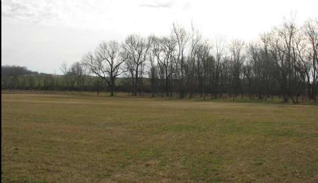
In the woods, near the picnic area, is the site of Norman's Mill Ford. Stevensburg Road crosses Mountain Run just upstream from the site. In the background is Hansborough Ridge. Butler's troopers fell back down the ridge and crossed the ford in the foreground.
Credits. This page was last revised on May 22, 2017. It was originally submitted on January 21, 2008, by Craig Swain of Leesburg, Virginia. This page has been viewed 2,813 times since then and 40 times this year. Last updated on May 20, 2017, by Pete Payette of Orange, Virginia. Photos: 1, 2. submitted on January 21, 2008, by Craig Swain of Leesburg, Virginia. 3. submitted on May 10, 2017, by Pete Payette of Orange, Virginia. 4, 5. submitted on January 21, 2008, by Craig Swain of Leesburg, Virginia. • Kevin W. was the editor who published this page.


