Huntington Township near York Springs in Adams County, Pennsylvania — The American Northeast (Mid-Atlantic)
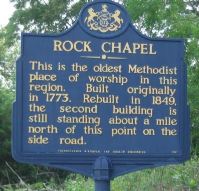
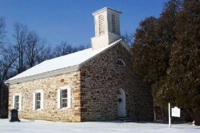
Rock Chapel
Erected 1947 by Pennsylvania Historical and Museum Commission.
Topics and series. This historical marker is listed in this topic list: Churches & Religion. In addition, it is included in the Pennsylvania Historical and Museum Commission series list. A significant historical year for this entry is 1773.
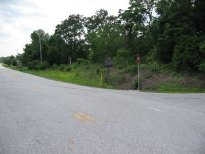
Location. 39° 57.649′ N, 77° 8.419′ W. Marker is near York Springs, Pennsylvania, in Adams County. It is in Huntington Township. Marker is at the intersection of Old Harrisburg Road (Old U.S. 15) (Business Pennsylvania Route 3001) and Oxford Road (Pennsylvania Route 1016), on the right when traveling north on Old Harrisburg Road (Old U.S. 15). Touch for map. Marker is at or near this postal address: 4410 Oxford Rd, York Springs PA 17372, United States of America. Touch for directions.
Other nearby markers. At least 8 other markers are within 6 miles of this marker, measured as the crow flies. Gettysburg Campaign (approx. half a mile away); a different marker also named Gettysburg Campaign (approx. one mile away); Original Studebaker Wagon Shop (approx. 2.9 miles away); Presbyterian Church Cemetery (approx. 3.3 miles away); Christ Church Episcopal (approx. 3˝ miles away); a different marker also named Gettysburg Campaign (approx. 4.9 miles away); Great Conewago Presbyterian Church (approx. 5.2 miles away); Civil War Soldiers in the Great Conewago Cemetery (approx. 5.2 miles away). Touch for a list and map of all markers in York Springs.
Credits. This page was last revised on February 7, 2023. It was originally submitted on August 17, 2008, by Craig Swain of Leesburg, Virginia. This page has been viewed 1,402 times since then and 124 times this year. Photos: 1, 2. submitted on August 17, 2008, by Craig Swain of Leesburg, Virginia. 3. submitted on February 12, 2009, by William Fischer, Jr. of Scranton, Pennsylvania.


