Lee Hall in Newport News, Virginia — The American South (Mid-Atlantic)
Battle of Lee’s Mill
Flames Appeared on all Sides
— 1862 Peninsula Campaign —
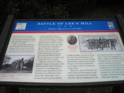
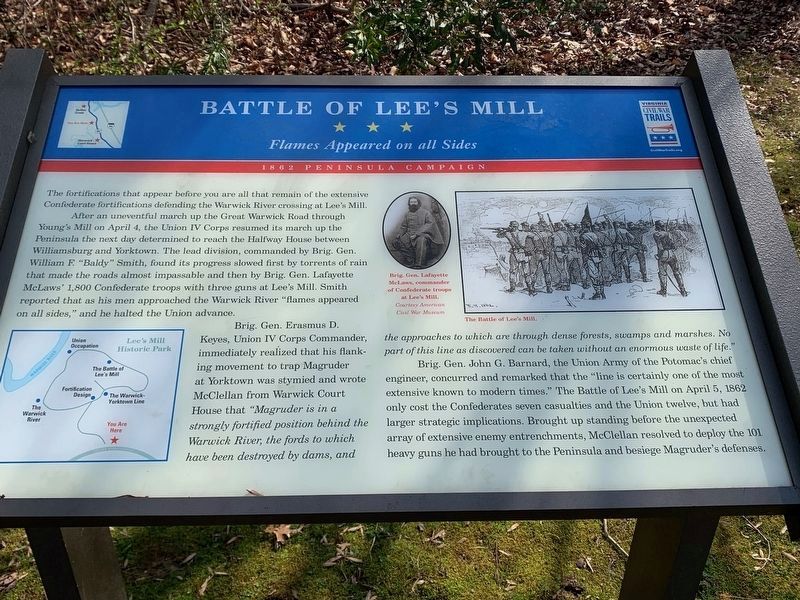
After an uneventful march up the Great Warwick Road through Young’s Mill on April 4, the Union IV Corps resumed its march up the Peninsula the next day determined to reach the Half-way House between Williamsburg and Yorktown. The lead division, commanded by Brig. Gen. William F. “Baldy” Smith, found its progress slowed first by torrents of rain that made the roads almost impassable and then by Brig. Gen. Lafayette McLaws’ 1,800 Confederate troops with three guns at Lee’s Mill. Smith reported that as his men approached the Warwick River “flames appeared on all sides.” and he halted the Union advance.
Maj. Gen. Erasmus D. Keyes, Union IV Corps Commander, immediately realized that his flanking movement to trap Magruder at Yorktown was stymied and wrote McClellan from Warwick Court House that “Magruder is in a strongly fortified position behind the Warwick River, the fords to which have been destroyed by dams, and the approaches to which are through dense forests, swamps and marshes. No part of this line as discovered can be taken without an enormous waste of life.”
Brig. Gen. John G. Barnard, the Union Army of the Potomac’s chief engineer, concurred and remarked that the “ line is certainly one of the most extensive known to modern times.” The little engagement on April 5, 1862, at Lee’s Mill cost the Confederates ten casualties, but it had far reaching importance. Brought up standing before the unexpected array of extensive enemy entrenchments, McClellan resolved to deploy the 103 heavy guns he had brought to the Peninsula and besiege Magruder’s defenses.
Erected by Virginia Civil War Trails.
Topics and series. This historical marker is listed in this topic list: War, US Civil. In addition, it is included in the Virginia Civil War Trails series list. A significant historical month for this entry is April 1773.
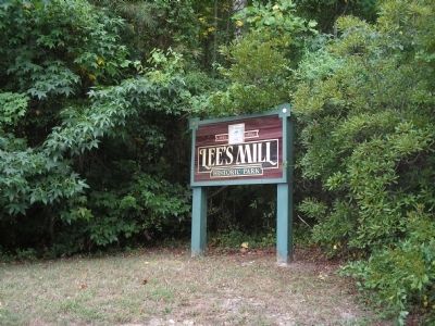
Location. 37° 9.901′ N, 76° 33.936′ W. Marker is in Newport News, Virginia. It is in Lee Hall. Marker is on Rivers Ridge Circle, on the left when traveling west. Marker is located in Lee’s Mill Historic Park, off of Warwick Blvd. Touch for map. Marker is in this post office area: Newport News VA 23608, United States of America. Touch for directions.
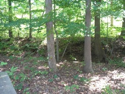
Other nearby markers. At least 8 other markers are within walking distance of this marker. Lee’s Mill (a few steps from this marker); Fortification Design (within shouting distance of this marker); The Warwick-Yorktown Line (about 300 feet away, measured in a direct line); a different marker also named The Battle of Lee’s Mill (about 500 feet away); Union Occupation (about 600 feet away); The Warwick River (about 600 feet away); Lee’s Mill Earthworks (approx. 0.3 miles away); Air Cushion Vehicle, SK-5 (approx. half a mile away). Touch for a list and map of all markers in Newport News.
More about this marker. The bottom left of the marker contains a war-time photograph of “McClellan’s headquarters in Warwick County during the battle of Lee’s Mill. Courtesy of Vermont Historical Society.”
The upper right of the marker contains a sketch of Union soldiers firing in a line titled “The Battle of Lee’s Mill”. Next to this is a photograph of “Brig. Gen. Lafayette McLaws, commander of Confederate troops at Lee’s Mill. Courtesy of Museum of the Confederacy.”
Related markers. Click here for a list of markers that are related to this marker. Markers along the walking trail in Lee’s Mill Historic Park.
Also see . . .
1. The Peninsula Campaign. (Submitted on August 17, 2008, by Bill Coughlin of Woodland Park, New Jersey.)
2. Tidewater Virginia, The 1862 Peninsula Campaign. Civil War Traveler. (Submitted on August 17, 2008, by Bill Coughlin of Woodland Park, New Jersey.)
Credits. This page was last revised on February 1, 2023. It was originally submitted on August 17, 2008, by Bill Coughlin of Woodland Park, New Jersey. This page has been viewed 2,819 times since then and 45 times this year. Last updated on April 21, 2021, by Bradley Owen of Morgantown, West Virginia. Photos: 1. submitted on August 17, 2008, by Bill Coughlin of Woodland Park, New Jersey. 2. submitted on March 16, 2022, by James Dean of Chesterfield, Virginia. 3, 4, 5, 6. submitted on August 17, 2008, by Bill Coughlin of Woodland Park, New Jersey. • Bill Pfingsten was the editor who published this page.
