Cheektowaga in Erie County, New York — The American Northeast (Mid-Atlantic)
Forks
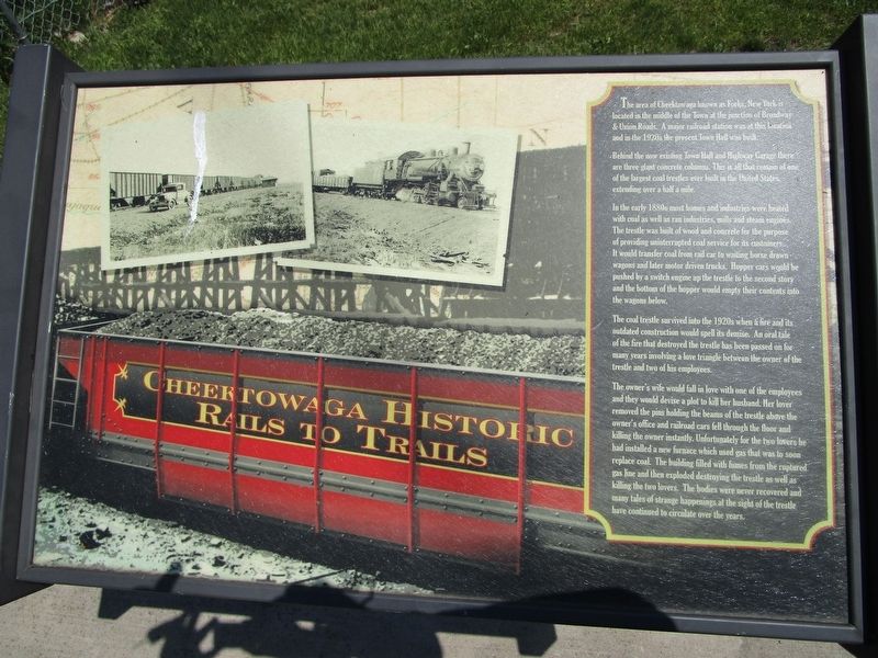
Cheektowaga Historic Rails to Trails
Behind the now existing Town Hall and Highway Garage there are three giant concrete columns. This is all that remain of one of the largest coal trestles ever built in the United States, extending over half a mile.
In the early 1880s most homes and industries were heated with coal as well as ran industries, mills and steam engines. The trestle was built of wood and concrete for the purpose of providing uninterrupted coal service for its customers. It would transfer coal from rail car to waiting horse drawn wagons and later motor driven trucks. Hopper cars would be pushed by a switch engine up the trestle to the second story and the bottom of the hopper would empty their contents into the wagons below.
The coal trestle survived into the 1920s when a fire and its outdated construction would spell its demise. An oral tale of the fire that destroyed the trestle has been passed on for many years involving a love triangle between the owner of the trestle and two of his employees.
The owner's wife would fall in love with one of the employees and they would devise a plot to kill her husband. Her lover removed the pins holding the beams of the trestle above the owner's office and railroad cars fell through the floor and killing the owner instantly. Unfortunately for the two lovers he had installed a new furnace which used gas that was to soon replace coal. The building filled with fumes from the ruptured gas line and then exploded destroying the trestle as well as the two lovers. The bodies were never recovered and many tales of strange happenings at the sight of the trestle have continued to circulate over the years.
Topics. This historical marker is listed in this topic list: Railroads & Streetcars.
Location. 42° 53.808′ N, 78° 45.244′ W. Marker is in Cheektowaga, New York, in Erie County. Marker can be reached from Union Road (New York State Route 277) half a mile north of Wells Avenue. Touch for map. Marker is at or near this postal address: 3035 Union Road, Buffalo NY 14227, United States of America. Touch for directions.
Other nearby markers. At least 8 other markers are within 2 miles of this marker, measured as the crow flies. This Memorial (approx. 0.4 miles away); Heroic Dead (approx. half a mile away); The Original Site of Forks Hose Company #2 (approx. half a mile away); Site of Toll Gate (approx. half a mile away); Bellevue (approx. 0.9 miles away); Site of Underground Railway Station

Photographed By Anton Schwarzmueller, May 23, 2017
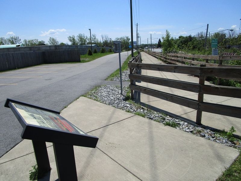
2. Cheektowaga Trail & Marker
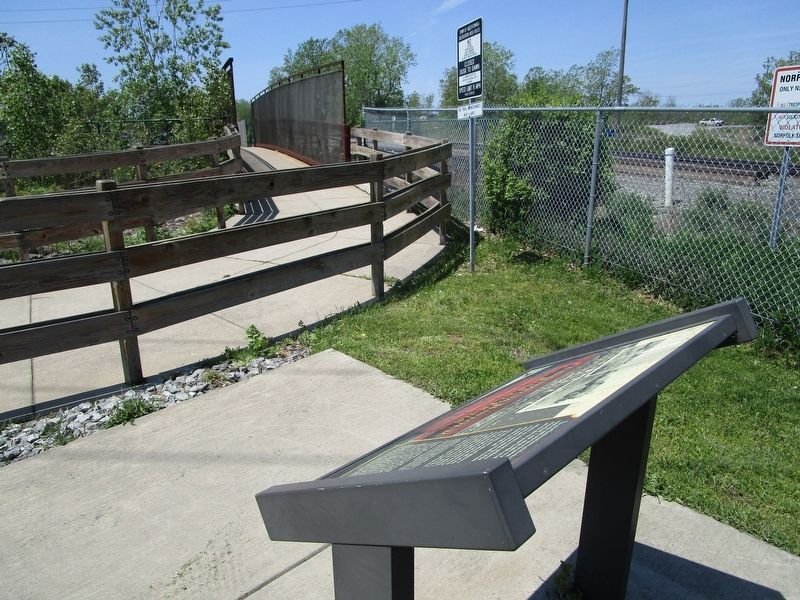
The marker is at the east end of the trail bridge over Union Road. This is the view of the approach incline of the trail from Union Road to the trail bridge. Public parking for the trail is here. The business to the left behind the cinderblock wall is Niagara Metals.
Regarding Forks. The story on the marker of the lovers setting the testle afire is fiction, as per an article in a recent edition of the Empire State Express, the monthly publication of the Niagara Frontier Chapter of the National Railway Historical Society.
On 9 May 1893, in the three miles between Depew and Forks, New York Central Railroad locomotive #999 reportedly reached a top speed of 112.5 miles an hour pulling the Empire State Express. However, the marker is not by the former New York Central Route, which is north and now owned by CSX Transportation.
Credits. This page was last revised on May 24, 2017. It was originally submitted on May 23, 2017, by Anton Schwarzmueller of Wilson, New York. This page has been viewed 531 times since then and 24 times this year. Photos: 1, 2, 3. submitted on May 23, 2017, by Anton Schwarzmueller of Wilson, New York.

