Leesburg in Loudoun County, Virginia — The American South (Mid-Atlantic)
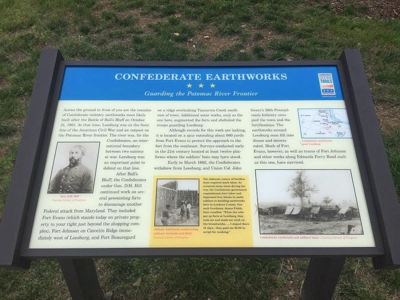
Confederate Earthworks
Guarding the Potomac River Frontier
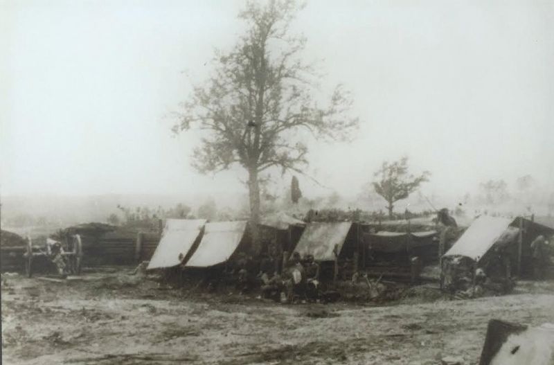
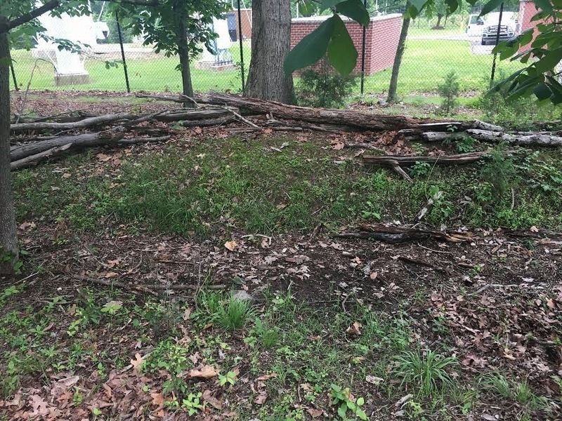
After Ballís Bluff, the Confederates under Gen. D.H. Hill continued work on several preexisting forts to discourage another Federal attack from Maryland. They included Fort Evans (which stands today on private property to your right just beyond the shopping complex), Fort Johnson on Catoctin Ridge immediately west of Leesburg, and Fort Beauregard on a ridge overlooking Tuscarora southeast of town. Additional outer works, such as the one here, augmented the forts and sheltered the troops guarding Leesburg.
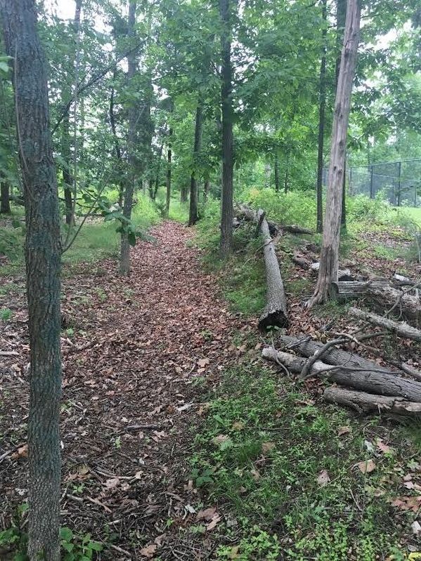
Although records for this work are lacking, it is located on a spur extending 600 yards from Fort Evans to protect the approach to the fort from the southeast. Surveys conducted early in the 21st century located at least twelve platforms where soldiersí huts may have stood.
Early in March 1862, the Confederates withdrew from Leesburg, and Union Col. John Gearyís 28th Pennsylvania Infantry occupied the town and the fortifications. The earthworks around Leesburg soon fell into disuse and deterioration. Much of Fort Evans, however, as well as traces of Fort Johnson and other works along Edwards Ferry Road such as this one, have survived.
Erected by Virginia Civil War Trails.
Topics and series. This historical marker is listed in these topic lists: African Americans • Forts and Castles • War, US Civil. In addition, it is included in the Virginia Civil War Trails series list. A significant historical month for this entry is March 1862.
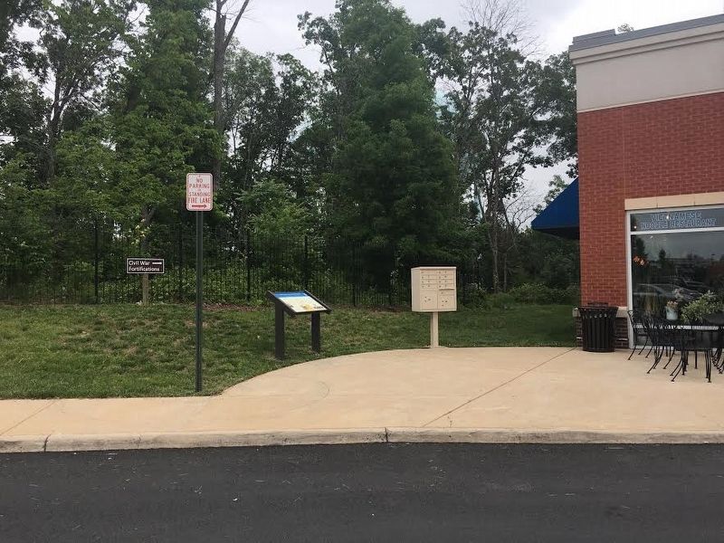
Location. 39° 6.365′ N, 77° 31.625′ W. Marker is in Leesburg, Virginia, in Loudoun County. Marker can be reached from Fort Evans Road NE (Virginia Route 773) 0.1 miles west of Battlefield Parkway, on the right when traveling west. The marker is outside Pho Royal in the in the Fort Evans II shopping center. Touch for map. Marker is at or near this postal address: 542 Fort Evans Rd NE, Leesburg VA 20176, United States of America. Touch for directions.
Other nearby markers. At least 8 other markers are within 2 miles of this marker, measured as the crow flies. Ballís Bluff Masked Battery (approx. half a mile away); a different marker also named Ballís Bluff Masked Battery (approx. 0.6 miles away); Two-Chambered Granary (approx. one mile away); Carriage House (approx. one mile away); Well House (approx. one mile away); Red Rock Wilderness Overlook Regional Park (approx. one mile away); Ice House (approx. 1.1 miles away); Douglass Community School (approx. 1Ĺ miles away). Touch for a list and map of all markers in Leesburg.
Also see . . . Defenses of Leesburg. (Submitted on May 25, 2017, by Brandon Stahl of Fairfax, Virginia.)
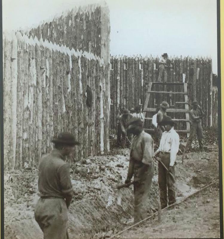
Library of Congress
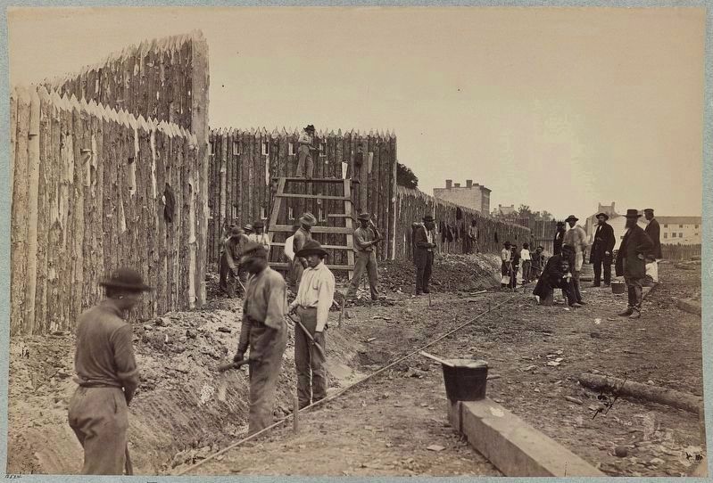
3. African Americans constructing military stockade and ditch
The elaborate nature of fortifications required much labor. As occurred many times during the war, the Confederate government requisitioned slave labor and impressed free blacks to assist soldiers in building earthworks here in Loudoun County. One such freedman, James Fields, later recalled, “When the rebs put up forts at Leesburg, they took me and made me work on the breastworks. Ö I stayed there 31 days – they paid me $6.00 in script for working.
Credits. This page was last revised on June 5, 2022. It was originally submitted on May 25, 2017, by Brandon Stahl of Fairfax, Virginia. This page has been viewed 1,072 times since then and 48 times this year. Photos: 1, 2, 3, 4, 5, 6. submitted on May 25, 2017, by Brandon Stahl of Fairfax, Virginia. 7. submitted on November 10, 2021. • Bernard Fisher was the editor who published this page.
