Marker Logo HMdb.org THE HISTORICAL
MARKER DATABASE
“Bite-Size Bits of Local, National, and Global History”
Near Port Gibson in Claiborne County, Mississippi — The American South (East South Central)
 

Windsor Mounds

— Mississippi Mound Trail —


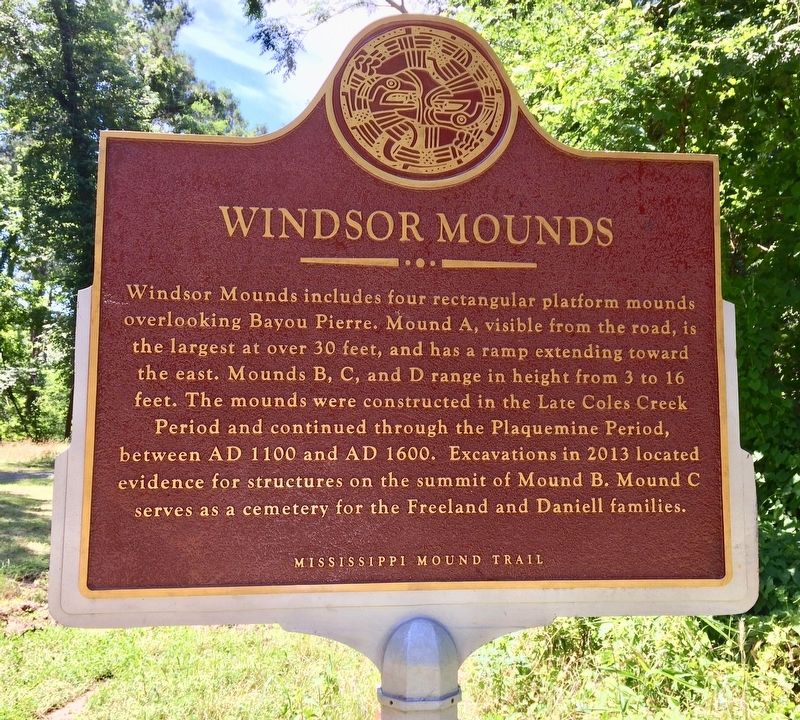
Windsor Mounds Marker (Front) image. Click for full size.
Photographed By Mark Hilton, May 26, 2017
1. Windsor Mounds Marker (Front)
Inscription. Windsor Mounds includes four rectangular platform mounds overlooking Bayou Pierre. Mound A, visible from the road, is the largest at over 30 feet, and has a ramp extending toward the east. Mounds B, C, and D range in height from 3 to 16 feet. The mounds were constructed in the Late Coles Creek Period and continued through the Plaquemine Period, between AD 1100 and AD 1600. Excavations in 2013 located evidence for structures on the summit of Mound B. Mound C serves as a cemetery for the Freeland and Daniell families.
 
Erected 2016 by the Mississippi Department of Archives and History.
 
Topics and series. This historical marker is listed in these topic lists: Anthropology & ArchaeologyCemeteries & Burial SitesNative AmericansSettlements & Settlers. In addition, it is included in the Mississippi Mound Trail series list.
 
Location. 31° 56.765′ N, 91° 7.581′ W. Marker is near Port Gibson, Mississippi, in Claiborne County. Marker is on Rodney Road, 1.6 miles west of Montgomery Road, on the left when traveling west. Located about a half-mile north of the Windsor Ruins. Touch for map. Marker is at or near this postal address: Rodney Road, Port Gibson MS 39150, United States of America. Touch for directions.
 
Other nearby markers. At least 8 other markers are within 5 miles of this marker
Paid Advertisement
Click on the ad for more information.
Please report objectionable advertising to the Editor.
Click or scan to see
this page online
, measured as the crow flies. Windsor Ruins (approx. 0.4 miles away); Battle of Port Gibson – Grant’s March (approx. 2.7 miles away); Battle of Port Gibson – The Battle (approx. 2.8 miles away); Bethel Church (approx. 2.8 miles away); Canemount Plantation (approx. 3.6 miles away); Oakland College (approx. 4.9 miles away); The Chapel (approx. 4.9 miles away); Alcorn Agricultural And Mechanical College (approx. 4.9 miles away).
 
Also see . . .  Mississippi Mound Trail. Mississippi Historical Markers website entry (Submitted on October 18, 2023, by Mark Hilton of Montgomery, Alabama.) 
 
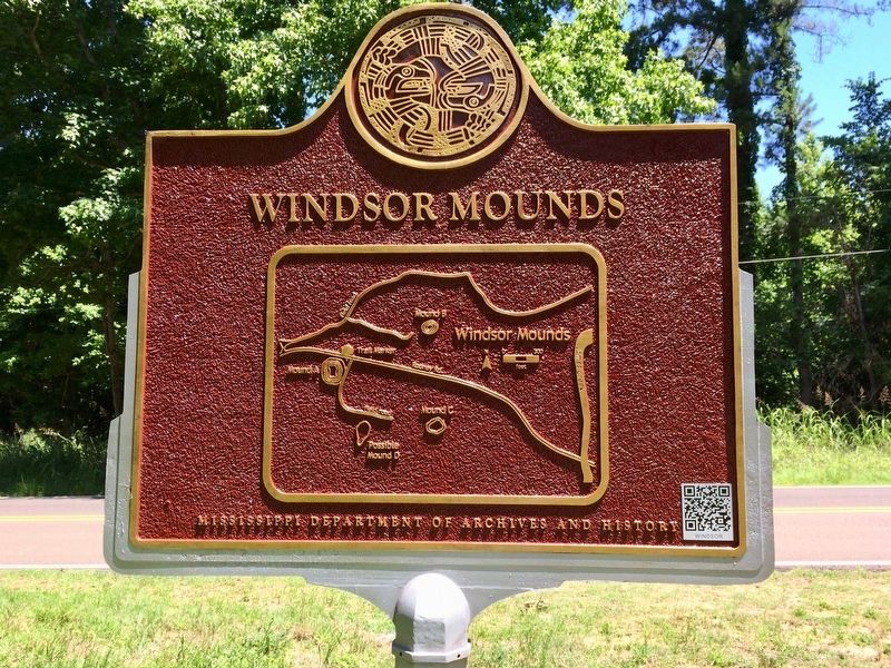
Windsor Mounds Marker (Rear map showing mound locations) image. Click for full size.
Photographed By Mark Hilton, May 26, 2017
2. Windsor Mounds Marker (Rear map showing mound locations)
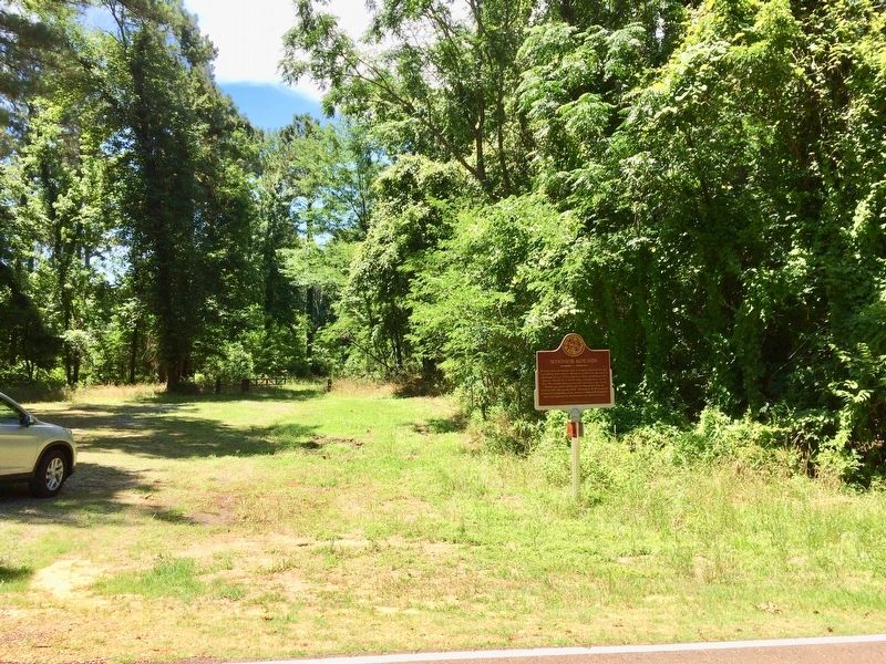
View of marker looking towards Mound A site. image. Click for full size.
Photographed By Mark Hilton, May 26, 2017
3. View of marker looking towards Mound A site.
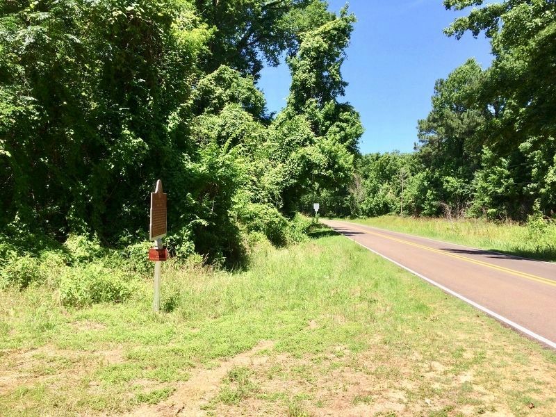
View of marker west on Rodney Road. image. Click for full size.
Photographed By Mark Hilton, May 26, 2017
4. View of marker west on Rodney Road.
Lower plaque
This archaeological site is
on private property. Please
view the site from the
pull-off area.
No
Trespassing
 
 
Credits. This page was last revised on April 14, 2024. It was originally submitted on May 28, 2017, by Mark Hilton of Montgomery, Alabama. This page has been viewed 659 times since then and 56 times this year. Photos:   1, 2, 3, 4. submitted on May 28, 2017, by Mark Hilton of Montgomery, Alabama.
Share this page.  
Share on Tumblr
m=103783

CeraNet Cloud Computing sponsors the Historical Marker Database.
This website earns income from purchases you make after using our links to Amazon.com. We appreciate your support.
Paid Advertisement
Apr. 25, 2024