Port Gibson in Claiborne County, Mississippi — The American South (East South Central)
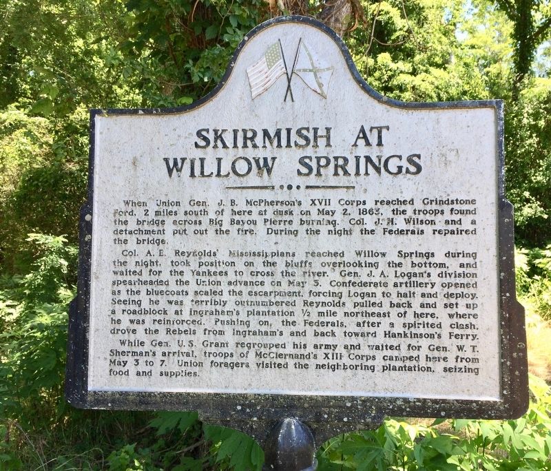
Skirmish at Willow Springs
Col. A. E. Reynolds' Mississippians reached Willow Springs during the night, took position on the bluffs overlooking the bottom, and waited for the Yankees to cross the river. Gen. J. A. Logan's division spearheaded the Union advance on May 3. Confederate artillery opened as the bluecoats scaled the escarpment, forcing Logan to halt and deploy. Seeing he was terribly outnumbered Reynolds pulled back and set up a roadblock at Ingraham's plantation ½ mile northeast of here, where he was reinforced. Pushing on, the Federals, after a spirited clash, drove the Rebels from Ingraham's and back toward Hankinson's Ferry.
While Gen. U.S. Grant regrouped his army and waited for Gen. W. T. Sherman's arrival, troops of McClernand's XIII Corps camped here from May 3 to 7. Union foragers visited the neighboring plantation, seizing food and supplies. (Marker Number 4.)
Topics and series. This historical marker is listed in these topic lists: Bridges & Viaducts • War, US Civil . In addition, it is included in the Former U.S. Presidents: #18 Ulysses S. Grant series list. A significant historical date for this entry is May 2, 1863.
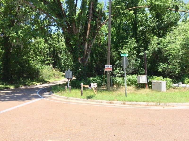
Location. 32° 2.19′ N, 90° 53.76′ W. Marker is in Port Gibson, Mississippi, in Claiborne County. Marker is at the intersection of Old Port Gibson Road and Willow Road, on the right when traveling north on Old Port Gibson Road. Touch for map. Marker is at or near this postal address: Old Port Gibson Road, Port Gibson MS 39150, United States of America. Touch for directions.
Other nearby markers. At least 8 other markers are within 6 miles of this marker, measured as the crow flies. Fight for Hankinson's Ferry (approx. 0.4 miles away); Grant at Hankinson's Ferry (approx. 0.4 miles away); Grindstone Ford (approx. 2.3 miles away); Site of the Hermitage (approx. 3.9 miles away); The Road to Vicksburg (approx. 4 miles away); Owens Creek (approx. 4.4 miles away); Sunken Trace (approx. 5.8 miles away); Federals Occupy Rocky Springs (approx. 6.1 miles away). Touch for a list and map of all markers in Port Gibson.
More about this marker. The marker, originally placed at this Willow Springs Crossroads in the early 1960s, disappeared around 1999; was found under the porch of a rental house in 2009, and was rededicated by the Port Gibson Heritage Trust. Most likely the reason for the condition of this marker.
Also see . . .
Grant's March - Willow Springs Historic Marker Rededication, August 27, 2009. (Submitted on May 29, 2017, by Mark Hilton of Montgomery, Alabama.)
Credits. This page was last revised on May 29, 2017. It was originally submitted on May 29, 2017, by Mark Hilton of Montgomery, Alabama. This page has been viewed 579 times since then and 45 times this year. Photos: 1, 2, 3. submitted on May 29, 2017, by Mark Hilton of Montgomery, Alabama.


