Hawkesbury in Prescott and Russell United Counties, Ontario — Central Canada (North America)
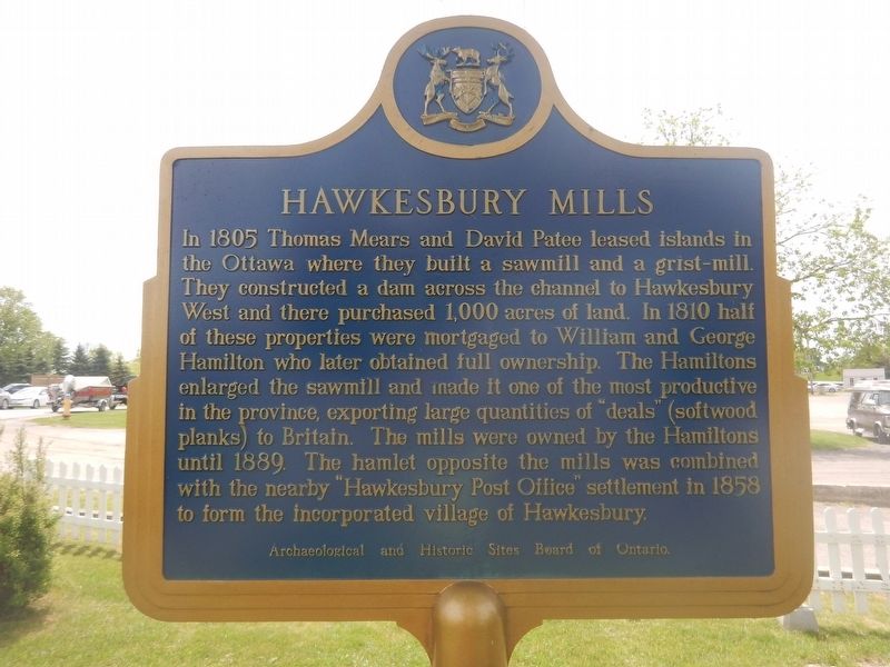
Hawkesbury Mills
In 1805 Thomas Mears and David Patee leased islands in the Ottawa where they built a sawmill and a grist-mill. They constructed a dam across the channel to Hawkesbury West and there purchased 1,000 acres of land. In 1810 half of these properties were mortgaged to William and George Hamilton who later obtained full ownership. The Hamiltons enlarged the sawmill and made it one of the most productive in the province, exporting large quantities of "deals" (softwood planks) to Britain. The mills were owned by the Hamiltons until 1889. The hamlet opposite the mills was combined with the nearby "Hawkesbury Post Office" settlement in 1858 to form the incorporated village of Hawkesbury.
Erected by Archaeological and Historic Sites Board of Ontario.
Topics. This historical marker is listed in these topic lists: Industry & Commerce • Settlements & Settlers. A significant historical year for this entry is 1805.
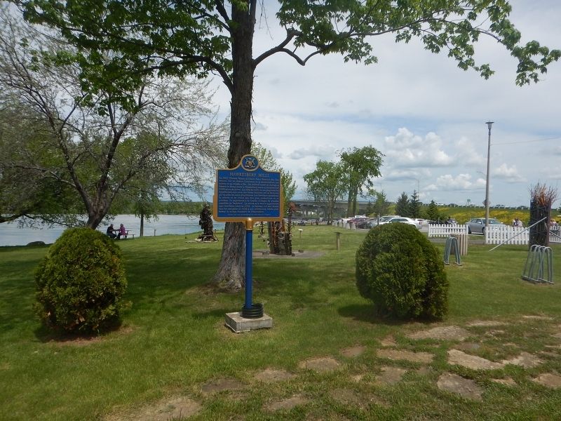
Location. 45° 36.912′ N, 74° 36.106′ W. Marker is in Hawkesbury, Ontario, in Prescott and Russell United Counties. Marker can be reached from John Street, half a kilometer north of Du Chenail Boulevard. Marker is located on Chenail Island, near the Le Chenail cultural center. Touch for map. Marker is at or near this postal address: 2 John Street, Hawkesbury ON K6A 1X3, Canada. Touch for directions.
Other nearby markers. At least 8 other markers are within 8 kilometers of this marker, measured as the crow flies. Blacksmith Shop / La Forge (within shouting distance of this marker); Le White Inn / The White Inn (approx. 4.5 kilometers away); The Seigneury of L'Orignal (approx. 6.4 kilometers away); Palais de justice et prison / Court House and Jail (approx. 6.9 kilometers away); District Court-House and Gaol 1825 (approx. 6.9 kilometers away); Bureau d'enregistrement / The Land Registry Office (approx. 7 kilometers away); St Jean-Baptiste Catholic Church (approx. 7 kilometers away); Presbytère de l'église catholique / Rectory of the Catholic Church (approx. 7 kilometers away).
Credits. This page was last revised on January 24, 2022. It was originally submitted on May 31, 2017, by Kevin Craft of Bedford, Quebec. This page has been viewed 327 times since then and 28 times this year. Photos: 1, 2. submitted on May 31, 2017, by Kevin Craft of Bedford, Quebec.

