Near Greer in Spartanburg County, South Carolina — The American South (South Atlantic)
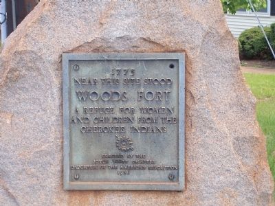
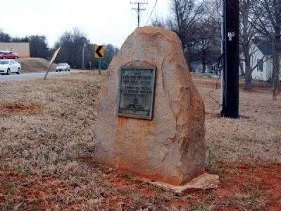
Woods Fort
Near this site stood
Woods Fort
A refuge for women
and children from the
Cherokee Indians
Erected 1936 by Joyce Scott Chapter - Daughters of the American Revolution.
Topics and series. This historical marker is listed in these topic lists: Colonial Era • Settlements & Settlers • Wars, US Indian. In addition, it is included in the Daughters of the American Revolution series list. A significant historical year for this entry is 1775.
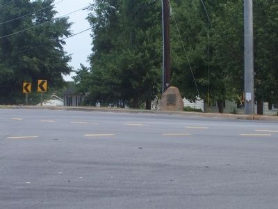
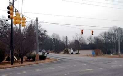
Location. 34° 58.288′ N, 82° 11.962′ W. Marker is near Greer, South Carolina, in Spartanburg County. Marker is at the intersection of Gap Creek Road (State Highway 908) and State Highway 357, on the right when traveling west on Gap Creek Road. Touch for map. Marker is in this post office area: Greer SC 29651, United States of America. Touch for directions.
Other nearby markers. At least 10 other markers are within 3 miles of this marker, measured as the crow flies. Hampton (approx. 1.7 miles away); Indian Boundary Line (approx. 2.1 miles away); a different marker also named Indian Boundary Line (approx. 2.6 miles away); National Highway (approx. 2.7 miles away); 101 Trade Street (approx. 2.8 miles away); Tribute to Greer Firefighters (approx. 2.8 miles away); Spring-Wood Park (approx. 2.8 miles away); Stone Mortar (approx. 2.9 miles away); AH-1 Cobra Helicopter (approx. 3 miles away); All Wars Memorial (approx. 3 miles away). Touch for a list and map of all markers in Greer.
Additional commentary.
1. The Site of Woods Fort
Almost on the "Old Boundary Line" [1] separating Cherokee territory from that ceded to Governor Glen in 1755. The fort was used as a place of refuge from Indians. Tradition says that a Mrs. Thompson who was scalped in an Indian attack escaped to the fort and recovered. (Source: South Carolina: A Guide to the Palmetto State by the Federal Writers Project, pg 351.)
[1] The current Greenville/Spartanburg County line.
— Submitted February 26, 2011, by Brian Scott of Anderson, South Carolina.
Credits. This page was last revised on June 16, 2016. It was originally submitted on August 18, 2008, by M. L. 'Mitch' Gambrell of Taylors, South Carolina. This page has been viewed 3,080 times since then and 160 times this year. Photos: 1, 2. submitted on August 18, 2008, by M. L. 'Mitch' Gambrell of Taylors, South Carolina. 3, 4. submitted on February 26, 2011, by Brian Scott of Anderson, South Carolina. • Kevin W. was the editor who published this page.


