Near Le Moyne in Mobile County, Alabama — The American South (East South Central)
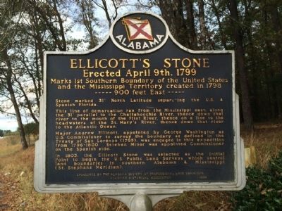
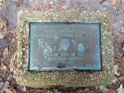
Ellicott's Stone
Erected April 9th, 1799
-----900 feet East-----
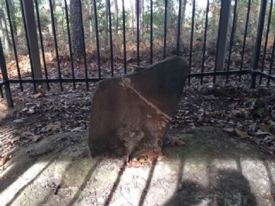
Stone marked 31° North Latitude separating the U.S. & Spanish Florida.
This line of demarcation ran from the Mississippi east, along the 31° parallel to the Chattahoochie River, thence down that river to the mouth of the Flint River, thence on a line to the headwaters of the St. Mary’s River, thence down that river to the Atlantic Ocean.
Major Andrew Ellicott, appointed by George Washington as U.S. Commissioner to survey the boundary as defined in the Treaty of San Lorenzo (1795), was engaged in this expedition from 1796-1800. Esteban Minor was appointed Commissioner on the Spanish side.
In 1803, the Ellicott Stone was selected as the Initial Point to begin the U.S. Public Land Surveys which control land boundaries in southern Alabama & Mississippi (St. Stephens Meridian).
Erected 1999 by Alabama Society of Professional Land Surveyors & Alabama Historical Association.
Topics and series. This historical marker is listed in these topic lists: Colonial Era • Exploration. In addition, it is included in the Alabama Historical Association, and the ASCE Civil Engineering Landmarks series lists. A significant historical year for this entry is 1798.
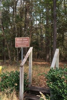
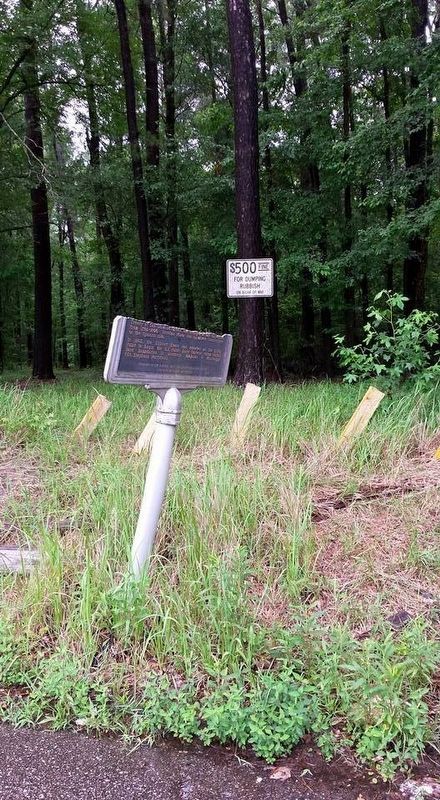
Location. 30° 59.779′ N, 88° 1.509′ W. Marker has been damaged. Marker is near Le Moyne, Alabama, in Mobile County. Marker is on U.S. 43 at milepost 19,, 0.1 miles south of Lofton Road, on the right when traveling north. Touch for map. Marker is in this post office area: Axis AL 36505, United States of America. Touch for directions.
Other nearby markers. At least 8 other markers are within 7 miles of this location, measured as the crow flies. Site of Old Mobile (approx. 2.7 miles away); St. Peter the Apostle Catholic Church (approx. 2.9 miles away); Kirk House (approx. 4˝ miles away); Mount Vernon Historical Museum and Train Depot (approx. 6.2 miles away); Mt. Vernon Federal Highway (approx. 6.2 miles away); Fort Stoddert (approx. 6.2 miles away); Mt. Vernon Arsenal and Barracks/Searcy Hospital (approx. 6.4 miles away); Mount Vernon Arsenal (approx. 6.4 miles away).
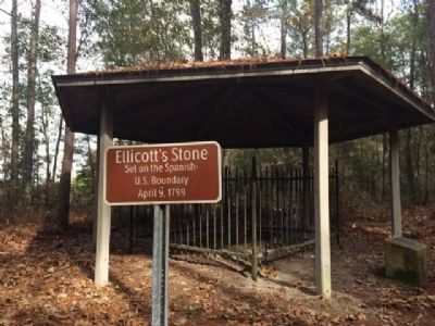
More about this marker. Park appears to have suffered some vandalism. 5/28/15
Also see . . . Ellicott's Stone. (Submitted on December 5, 2013.)
Credits. This page was last revised on June 26, 2017. It was originally submitted on December 5, 2013, by Mark Hilton of Montgomery, Alabama. This page has been viewed 2,684 times since then and 70 times this year. Last updated on June 4, 2017, by W. Scott Brannon of Tuscaloosa, Alabama. Photos: 1, 2, 3, 4, 5. submitted on December 5, 2013, by Mark Hilton of Montgomery, Alabama. 6. submitted on June 26, 2017, by Mark Hilton of Montgomery, Alabama.
