Almonte in Lanark County, Ontario — Central Canada (North America)
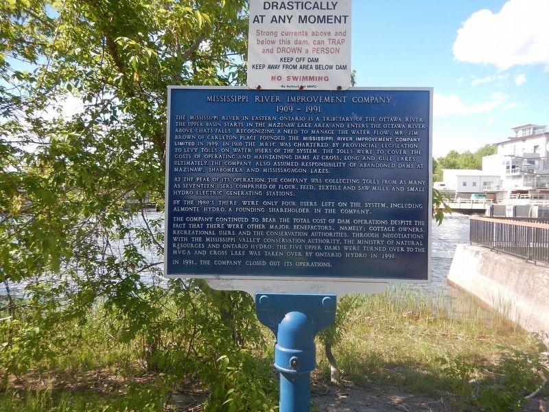
Mississippi River Improvement Company
1909-1991
The Mississippi River in eastern Ontario is a tributary of the Ottawa River. The upper basin starts in the Mazinaw Lake area and enters the Ottawa River above Chats Falls. Recognizing a need to manage the water flow, Mr. Jim Brown of Carleton Place founded the Mississippi River Improvement Company Limited in 1909. In 1910 the M.R.I.C. was chartered by provincial legislation to levy tolls on water users of the system. The tolls were to cover the cost of operating and maintaining dams at Cross Long and Gull Lakes. Ultimately, the company also assumed responsibility of abandoned dams at Mazinaw, Shabomeka and Mississagagon Lakes.
At the peak of its operations, the company was collecting tolls from as many as seventeen users comprised of flour, feed, textile and saw mills and small hydro electric generating stations.
By the 1980's there were only four users left on the system, including Almonte Hydro, a founding shareholder in the company.
The company continued to bear the total cost of dam operations despite the fact that there were other major benefactors, namely; cottage owners, recreational users and the conservation authorities. Through negotiations with the Mississippi Valley Conservation Authority, the Ministry of Natural Resources and Ontario Hydro; the five upper dams were turned over to the M.V.C.A. and Cross Lake was taken over by Ontario Hydro in 1990.
In 1991, the company closed out its operations.
Topics. This historical marker is listed in this topic list: Waterways & Vessels. A significant historical year for this entry is 1909.
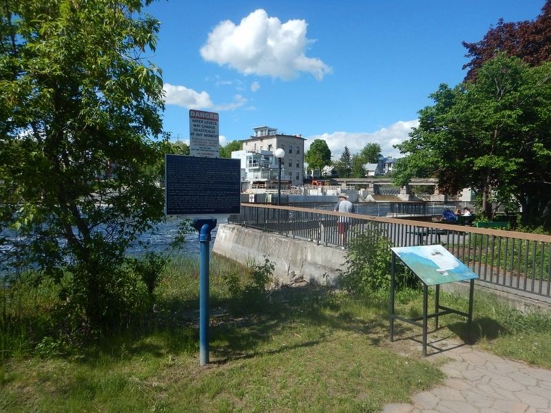
Location. 45° 13.554′ N, 76° 11.803′ W. Marker is in Almonte, Ontario, in Lanark County. Marker is on Mill Street, 0.1 kilometers west of Little Bridge Street, on the right when traveling west. Marker is located along RiverWalk, next to the river, behind the post office. Touch for map. Marker is at or near this postal address: 61 Mill Street, Almonte ON K0A 1A0, Canada. Touch for directions.
Other nearby markers. At least 8 other markers are within 11 kilometers of this marker, measured as the crow flies. The Rosamonds in Almonte (about 90 meters away, measured in a direct line); Former Almonte Post Office (about 120 meters away); The Founding of Almonte (about 210 meters away); "Auld Kirk" 1836 (approx. 2.3 kilometers away); Dr. James Naismith (approx. 3.3 kilometers away); Robert Tait McKenzie (approx. 5 kilometers away); The Mill of Kintail and Robert Tait McKenzie (approx. 5 kilometers away); A. Roy Brown Memorial (approx. 10.2 kilometers away). Touch for a list and map of all markers in Almonte.
Credits. This page was last revised on June 6, 2017. It was originally submitted on June 6, 2017, by Kevin Craft of Bedford, Quebec. This page has been viewed 191 times since then and 7 times this year. Photos: 1, 2. submitted on June 6, 2017, by Kevin Craft of Bedford, Quebec.

