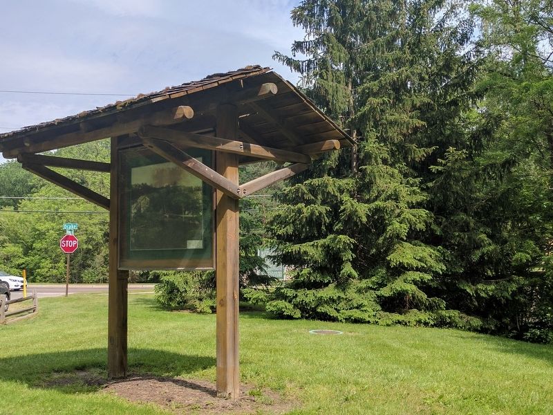
Farmington Hills in Oakland County, Michigan — The American Midwest (Great Lakes)
The Old Mill
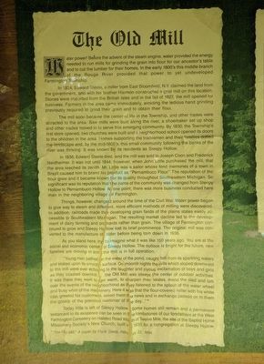
Water power! Before the advent of the steam engine, water provided the energy needed to run mills for grinding the grain into flour for our ancestor's table and to cut the lumber for their homes. In the early 1800's this middle branch of the Rouge River provided that power to yet undeveloped Farmington Township.
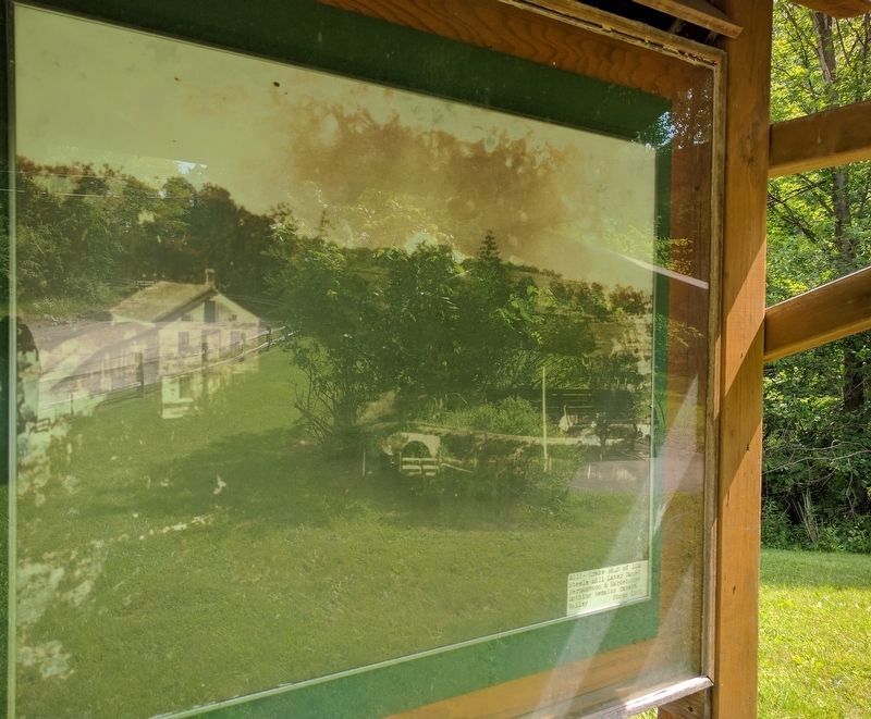
In 1824, Edward Steele, a miller from East Bloomfield, N.Y. claimed the land from the government, and with his brother Harmon constructed a grist mill on this location. Stones were imported from the British Isles and in the fall of 1827, the mill opened for business. Farmers in the area came immediately, avoiding the tedious hand grinding previously required to grind their grain and to obtain their flour.
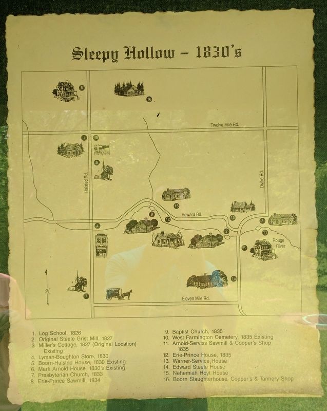
The mill soon became the center of life in the Township, and other trades were attracted to the area. Saw mills were built along the river, a shoemaker set up shop and other trades moved in to serve this emerging community. By 1830, the Township's first store opened, two churches were built and a neighborhood school opened its doors to the children in the area. Homes supporting the tradesmen and their families dotted the landscape and, by the mid-1800's, this small community following the banks of the river was thriving. It was known by its residents as Sleepy Hollow.
In 1836, Edward Steele died, and the mill was sold to Joseph Coon and Frederick Neidheimer. It was not until 1844, however, when John Little purchased the mill, that the area reached its zenith. Mr. Little was a sailor whose fond memories of a town in Brazil caused him to brand his product as "Pernambuco Flour." The reputation of the flour grew and it became known for its quality throughout Southeastern Michigan. So significant was its reputation that the name of the community was changed from Sleepy Hollow to Pernambuco Hollow. At one point, there was more business conducted here than in the neighboring village of Farmington.
Things, however, changed around the time of the Civil War. Water power began to give way to steam and different, more efficient methods of milling were discovered. In addition, railroads made the developing grain fields of the plains states easily accessible to Southeastern Michigan. The resulting market decline led to the development of dairy farming and orchards rather than grain. the village of Farmington continued to grow and Sleepy Hollow lost its breif prominence. The original mill was converted to the manufacture of cider before being torn down in 1936.
As you stand here, try to imagine what it was like 150 years ago. You are at the social and economic center of Sleepy Hollow. The outlook is bright for the future, new families are moving in and the mill is in full operation.
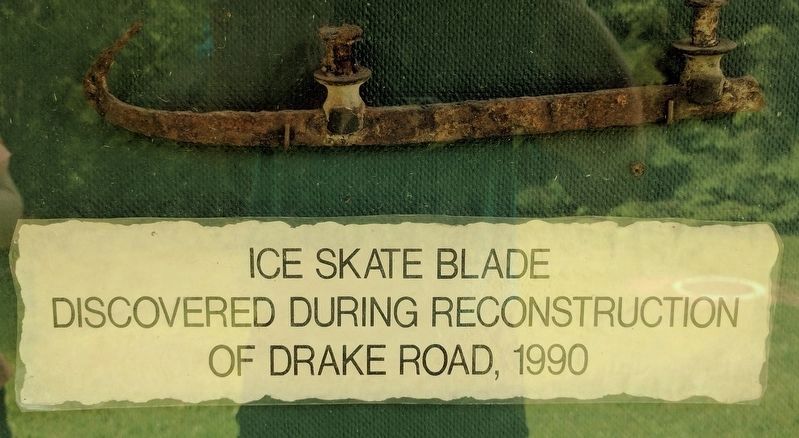
"Young men bathed in the water of the pond, caught fish from its sparkling waters and skated upon its smooth surface. On moonlit nights the hills which sloped downward to the mill were ever echoing to the laughter and joyous exclamation of boys and girls as they coasted downhill...the Old Mill was always the center of outdoor activities. It was there they went to get warm, to sharpen their skates, mend the sled and talk over the events of the neighborhood as they listened to the splash of the water wheel and busy whir of the machinery. Here it was that the flour-covered miller with his white cap, greeted his customers, asked them the news and in exchanged passed on to them the gossip of the previous customer of the day..."*
Today little is left of Sleepy Hollow. Some homes still remain and a permanent testament to its existence can be seen in the tombstones of our forefathers at the West Farmington Cemetery on Halsted Road south of Twelve Mile, the site of the Baptist Home Missionary Society's New Church, built in 1835 for a congregation at Sleepy Hollow.
* "The Old Mill," A paper by Frank Steele, February 22, 1894.
Topics. This historical marker is listed in these topic lists: Industry & Commerce • Settlements & Settlers. A significant historical date for this entry is February 22, 1894.
Location. 42° 29.365′ N, 83° 24.058′ W. Marker is in Farmington Hills, Michigan, in Oakland County. Marker is at the intersection of Howard Road and Drake Road, on the left when traveling west on Howard Road. Touch for map. Marker is in this post office area: Farmington MI 48331, United States of America. Touch for directions.
Other nearby markers. At least 8 other markers are within 2 miles of this marker, measured as the crow flies. Sleepy Hollow (within shouting distance of this marker); The Pettibone House (approx. 0.7 miles away); The Harger House (approx. 0.7 miles away); The Worker's Camp (approx. 0.7 miles away); Hamilton Jones House (approx. 0.7 miles away); West Farmington Cemetery (approx. one mile away); Lawrence Simmons House (approx. 1.1 miles away); Boorn-Halsted House (approx. 1.2 miles away). Touch for a list and map of all markers in Farmington Hills.
Credits. This page was last revised on June 6, 2017. It was originally submitted on June 6, 2017, by Joel Seewald of Madison Heights, Michigan. This page has been viewed 529 times since then and 31 times this year. Photos: 1, 2, 3, 4, 5. submitted on June 6, 2017, by Joel Seewald of Madison Heights, Michigan.
