Houma in Terrebonne Parish, Louisiana — The American South (West South Central)
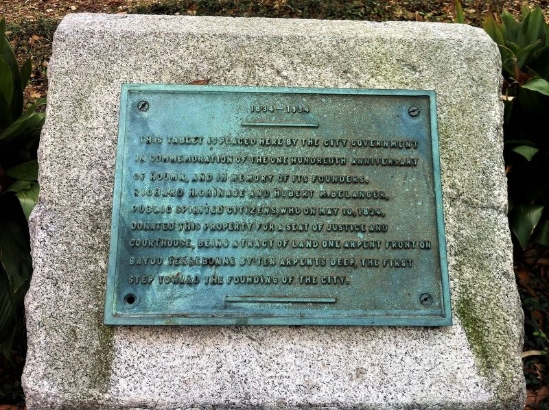
1834-1934
Erected 1934 by City Government of Houma.
Topics. This historical marker is listed in these topic lists: Government & Politics • Settlements & Settlers. A significant historical date for this entry is May 10, 1834.
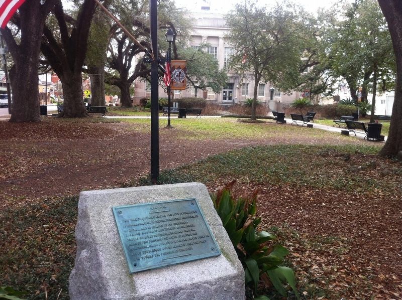
Location. 29° 35.831′ N, 90° 43.319′ W. Marker is in Houma, Louisiana, in Terrebonne Parish. Marker is on West Main Street (State Highway 24) south of Church Street, on the right when traveling south. Located on the Terrebonne Courthouse grounds. Touch for map. Marker is at or near this postal address: 7850-7864 West Main Street, Houma LA 70360, United States of America. Touch for directions.
Other nearby markers. At least 8 other markers are within walking distance of this marker. Terrebonne Parish Courthouse Square Oaks (within shouting distance of this marker); When Oysters Were King (about 700 feet away, measured in a direct line); A History of Terrebonne Parish (about 700 feet away); Bayou Terrebonne (about 700 feet away); The Great Acadian Upheaval (approx. 0.2 miles away); The Grand Dérangement / Le Grand Dérangement (approx. 0.2 miles away); New Acadia / Nouvelle Acadie (approx. 0.2 miles away); Saint Francis de Sales Church (approx. 0.2 miles away). Touch for a list and map of all markers in Houma.
Credits. This page was last revised on July 15, 2023. It was originally submitted on June 9, 2017, by Cajun Scrambler of Assumption, Louisiana. This page has been viewed 376 times since then and 26 times this year. Photos: 1, 2. submitted on June 9, 2017.

