Stadium Area in Baltimore, Maryland — The American Northeast (Mid-Atlantic)
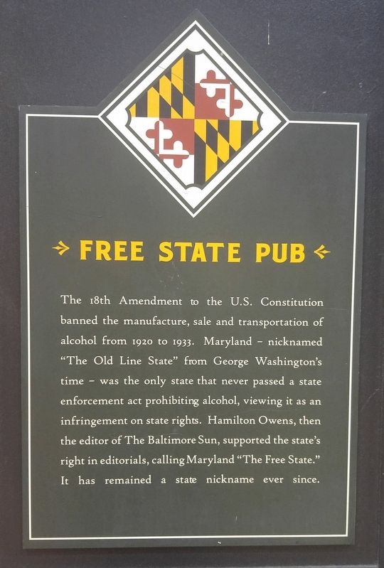
Free State Pub
Topics. This historical marker is listed in these topic lists: Government & Politics • Industry & Commerce. A significant historical year for this entry is 1920.
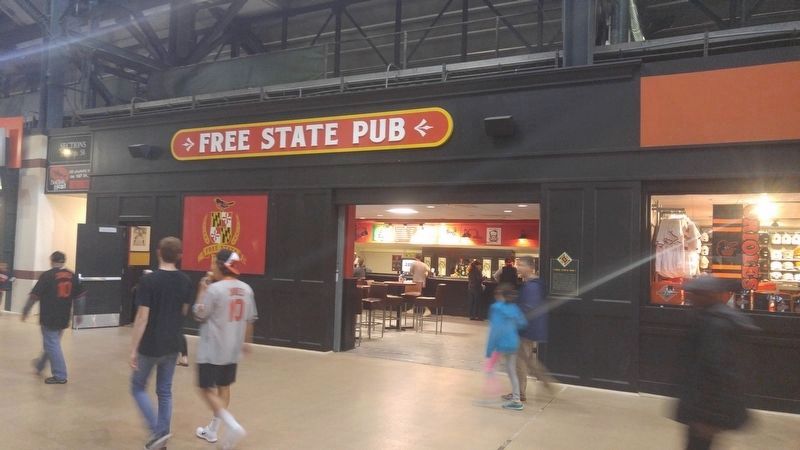
Location. 39° 17.008′ N, 76° 37.363′ W. Marker is in Baltimore, Maryland. It is in the Stadium Area. Marker can be reached from Russell Street, 0.1 miles north of Lee Street, on the right when traveling north. Marker is attached to the stadium, in the concourse. Touch for map. Marker is at or near this postal address: 555 Russell St, Baltimore MD 21201, United States of America. Touch for directions.
Other nearby markers. At least 8 other markers are within walking distance of this marker. George Herman (Babe) Ruth (about 500 feet away, measured in a direct line); B. Robinson 5 (about 600 feet away); Babe’s Dream (about 800 feet away); Wrestling in Maryland (approx. 0.2 miles away); Richard H. Trainor (approx. 0.2 miles away); Carl A.J. Wright (approx. 0.2 miles away); On to Yorktown (approx. 0.2 miles away); Babe Ruth Birthplace Museum (approx. 0.2 miles away). Touch for a list and map of all markers in Baltimore.
Credits. This page was last revised on February 16, 2021. It was originally submitted on June 11, 2017, by F. Robby of Baltimore, Maryland. This page has been viewed 224 times since then and 7 times this year. Photos: 1, 2. submitted on June 11, 2017, by F. Robby of Baltimore, Maryland.

