Near Spotsylvania Courthouse in Spotsylvania County, Virginia — The American South (Mid-Atlantic)
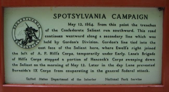
Spotsylvania Campaign
Erected by National Park Service, U.S. Department of the Interior.
Topics. This historical marker is listed in this topic list: War, US Civil. A significant historical date for this entry is May 12, 1746.
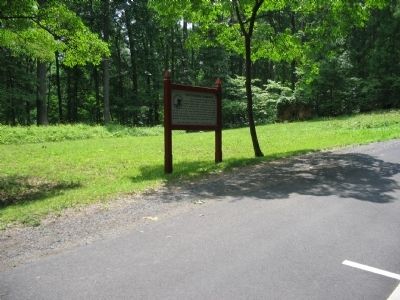
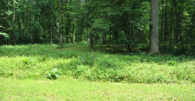
Location. This marker has been replaced by another marker nearby. 38° 13.07′ N, 77° 35.758′ W. Marker is near Spotsylvania Courthouse, Virginia, in Spotsylvania County. Marker is on Gordon Drive, on the right when traveling east. Located just south of tour stop six (East Face of the Salient) on the driving tour of Spotsylvania Battlefield unit of the Fredericksburg and Spotsylvania National Military Park. Touch for map. Marker is at or near this postal address: 9550 Gordon Dr, Spotsylvania VA 22553, United States of America. Touch for directions.
Other nearby markers. At least 8 other markers are within walking distance of this location. Containing the Enemy, Reclaiming the Works (here, next to this marker); Fighting for Time (approx. ¼ mile away); The McCoull House (approx. ¼ mile away); A Mass Capture (approx. ¼ mile away); Mayhem in the Muleshoe (approx. ¼ mile away); The Ninth Corps (approx. ¼ mile away); a different marker also named Spotsylvania Campaign (approx. 0.3 miles away); McCoull Spring (approx. 0.3 miles away). Touch for a list and map of all markers in Spotsylvania Courthouse.
Related marker. Click here for another marker that is related to this marker. New Marker At This Location titled "Containing the Enemy, Reclaiming the Works".
Also see . . . East Face of Salient. National Park Service website entry (Submitted on August 18, 2008, by Craig Swain of Leesburg, Virginia.)
Credits. This page was last revised on December 18, 2022. It was originally submitted on August 18, 2008, by Craig Swain of Leesburg, Virginia. This page has been viewed 843 times since then and 7 times this year. Photos: 1, 2, 3. submitted on August 18, 2008, by Craig Swain of Leesburg, Virginia.


