Droop Mountain in Pocahontas County, West Virginia — The American South (Appalachia)
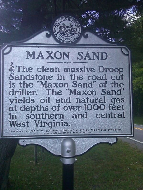
Maxon Sand
Erected 1963 by West Virginia Historic Commission; sponsored by the W. Va. Centennial Committee of the Oil and Natural Gas Industry.
Topics and series. This historical marker is listed in this topic list: Natural Resources. In addition, it is included in the West Virginia Archives and History series list.
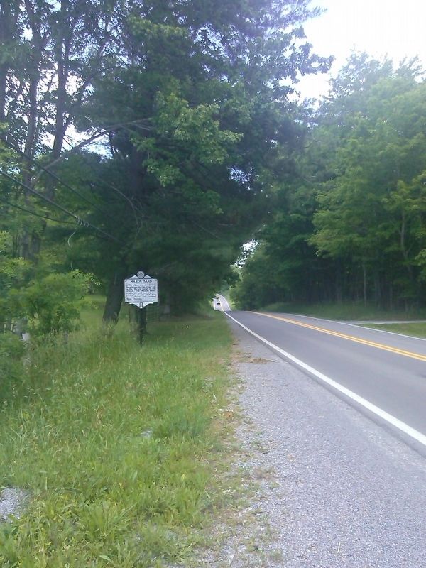
Location. 38° 4.141′ N, 80° 17.407′ W. Marker is in Droop Mountain, West Virginia, in Pocahontas County. Marker is on Senica Trail (U.S. 219). Touch for map. Marker is in this post office area: Renick WV 24966, United States of America. Touch for directions.
Other nearby markers. At least 8 other markers are within 4 miles of this marker, measured as the crow flies. Droop Mountain (approx. 3 miles away); Major Robert Augustus Bailey (approx. 3 miles away); 10 Lb. Parrott Rifle (approx. 3.2 miles away); 14th Pennsylvania Cavalry (approx. 3.3 miles away); The Battle At Droop Mountain (approx. 3.3 miles away); a different marker also named The Battle At Droop Mountain (approx. 3.3 miles away); Lieut. Henry Bender (approx. 3.3 miles away); John D. Baxter (approx. 3.3 miles away).
Credits. This page was last revised on June 9, 2020. It was originally submitted on June 12, 2017, by Roger Miller of Pulaski, Virginia. This page has been viewed 378 times since then and 32 times this year. Photos: 1, 2. submitted on June 12, 2017, by Roger Miller of Pulaski, Virginia. • Bill Pfingsten was the editor who published this page.

