Grand Gulf in Claiborne County, Mississippi — The American South (East South Central)
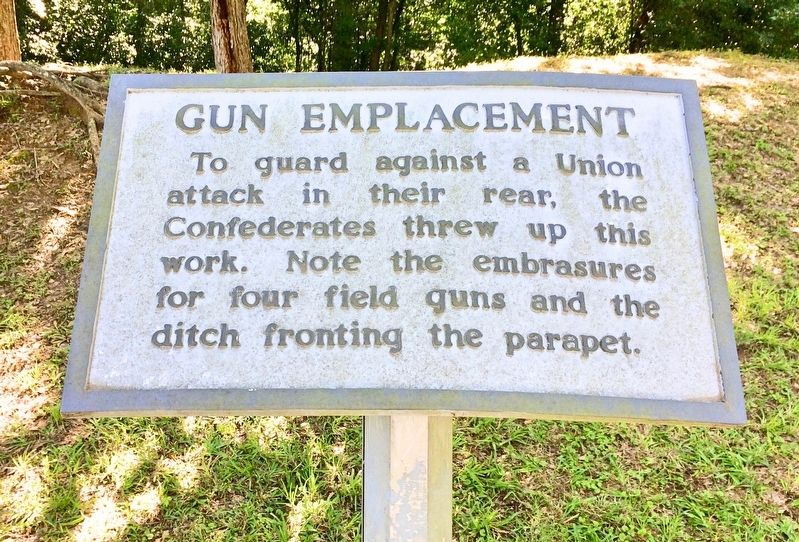
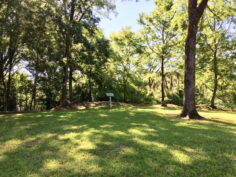
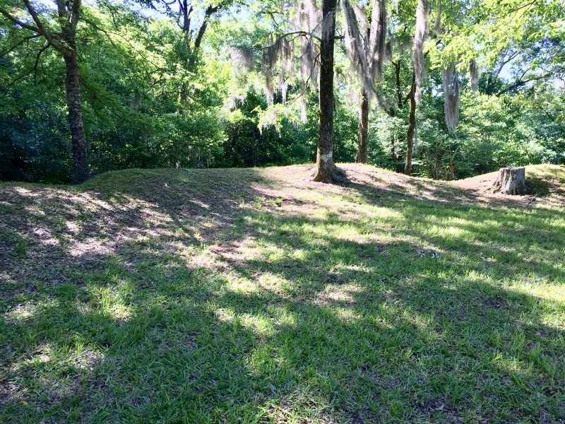
Gun Emplacement
— Grand Gulf Historic Tour —
attack in their rear, the
Confederates threw up this
work. Note the embrasures
for four field guns and the
ditch fronting the parapet.
Erected by the Grand Gulf Military Monument Commission.
Topics. This historical marker is listed in this topic list: War, US Civil.
Location. 32° 1.824′ N, 91° 3.013′ W. Marker is in Grand Gulf, Mississippi, in Claiborne County. Marker can be reached from Grand Gulf Road. Located at the Grand Gulf Military Park (Fee charged). Touch for map. Marker is at or near this postal address: 12006 Grand Gulf Road, Port Gibson MS 39150, United States of America. Touch for directions.
Other nearby markers. At least 8 other markers are within walking distance of this marker. Confederate Rifle Pits (about 600 feet away, measured in a direct line); Rodney Sacred Heart Roman Catholic Church (about 700 feet away); a different marker also named Rodney Sacred Heart Roman Catholic Church (about 700 feet away); Confederate Memorial Chapel (about 700 feet away); The Spanish House (about 700 feet away); a different marker also named Gun Emplacement (about 700 feet away); Second Grand Gulf Naval Battle (about 800 feet away); Water Wheel (about 800 feet away). Touch for a list and map of all markers in Grand Gulf.
Regarding Gun Emplacement. A parapet is a protective wall or earth defense along the top of a trench or other place of concealment for troops.
An embrasure is an opening cut, or splayed through a parapet to allow the artillery to command a certain extent of the surrounding land.
Credits. This page was last revised on June 12, 2017. It was originally submitted on June 12, 2017, by Mark Hilton of Montgomery, Alabama. This page has been viewed 211 times since then and 4 times this year. Photos: 1, 2, 3. submitted on June 12, 2017, by Mark Hilton of Montgomery, Alabama.


