Marker Logo HMdb.org THE HISTORICAL
MARKER DATABASE
“Bite-Size Bits of Local, National, and Global History”
Near Muleshoe in Bailey County, Texas — The American South (West South Central)
MISSING
SEE LOCATION SECTION
 

First Irrigation Well in Bailey County


First Irrigation Well in Bailey County Marker image. Click for full size.
Photographed By Bill Kirchner
1. First Irrigation Well in Bailey County Marker
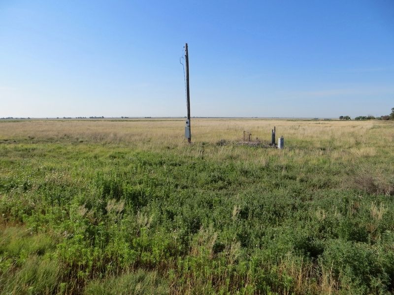
Inscription. Dug by hand in 1909 on farm of Willard Burns. A pit well (large enough for workmen to enter), it measured 6 by 10 feet across and 15 feet deep. A 10-inch centrifugal pump removed 1,000 gallons of water per minute. Upon its completion, settlers from miles around gathered to hold a "water carnival", which became a local custom whenever wells were dug. Hundreds of such wells made agriculture profitable in this low rainfall area. Well and pump were abandoned when turbine pumps came into use, 1920s. No signs of it remain.
 
Erected 1972 by State Historical Survey Committee. (Marker Number 1732.)
 
Topics. This historical marker is listed in this topic list: Agriculture. A significant historical year for this entry is 1909.
 
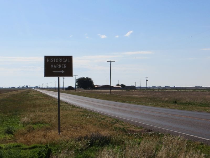
Location. Marker is missing. It was located near 34° 14.635′ N, 102° 51.786′ W. Marker was near Muleshoe, Texas, in Bailey County. Marker was at the intersection of Farm to Market Road 1760 and Farm to Market Road 103, on the right when traveling east on Highway 1760. Marker was on the southeast corner. Touch for map. Marker was in this post office area: Muleshoe TX 79347, United States of America. Touch for directions.
 
Other nearby markers. At least 8 other markers are within 9 miles of this location, measured as the crow flies. Harden A. Douglass (approx. 6.2 miles away); Bailey County Cemetery (approx. 6.3 miles
Paid Advertisement
Click on the ad for more information.
Please report objectionable advertising to the Editor.
Click or scan to see
this page online
away); Quanah Parker Trail (approx. 6.7 miles away); Old Muleshoe Ranch Cookhouse (approx. 6.7 miles away); Oklahoma Lane (approx. 7.9 miles away); Bailey County (approx. 8 miles away); The Founding of Bailey County (approx. 8 miles away); The Mule (approx. 8.1 miles away). Touch for a list and map of all markers in Muleshoe.
 
<i>site of</i> First Irrigation Well in Bailey County Marker image. Click for full size.
Photographed By Bill Kirchner, June 7, 2017
2. site of First Irrigation Well in Bailey County Marker
View east on FM 1760 image. Click for full size.
Photographed By Bill Kirchner, June 7, 2017
3. View east on FM 1760
 
 
Credits. This page was last revised on June 16, 2017. It was originally submitted on June 16, 2017, by Bill Kirchner of Tucson, Arizona. This page has been viewed 270 times since then and 17 times this year. Photos:   1, 2, 3. submitted on June 16, 2017, by Bill Kirchner of Tucson, Arizona.

Share this page.  
Share on Tumblr
m=104431

CeraNet Cloud Computing sponsors the Historical Marker Database.
This website earns income from purchases you make after using our links to Amazon.com. We appreciate your support.
Paid Advertisement
Apr. 19, 2024