Earth in Lamb County, Texas — The American South (West South Central)
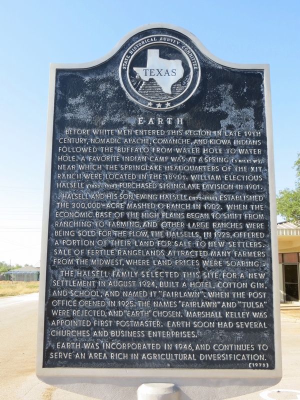
Earth
Halsell and his son, Ewing Halsell (1877-1965), established the 300,000-acre Mashed O Ranch in 1902. When the economic base of the High Plains began to shift from ranching to farming, and other large ranches were being sold for the plow, the Halsells, in 1923, offered a portion of their land for sale to new settlers. Sale of fertile rangelands attracted many farmers from the midwest, where land prices were soaring.
The Halsell family selected this site for a new settlement in August 1924, built a hotel, cotton gin, and school, and named it, "Fairlawn". When the post office opened in 1925, the names "Fairlawn" and "Tulsa" were rejected, and "Earth" chosen. Marshall Kelley was appointed first postmaster. Earth soon had several churches and business enterprises.
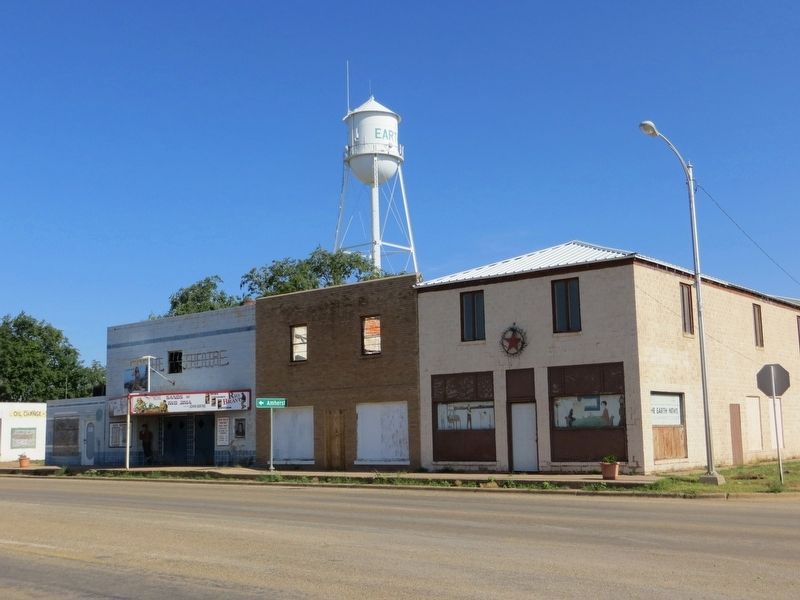
Earth was incorporated in 1946, and continues to serve an area rich in agricultural diversification.
Erected 1973 by State Historical Survey Committee. (Marker Number 1364.)
Topics. This historical marker is listed in these topic lists: Agriculture • Native Americans • Settlements & Settlers. A significant historical month for this entry is August 1924.
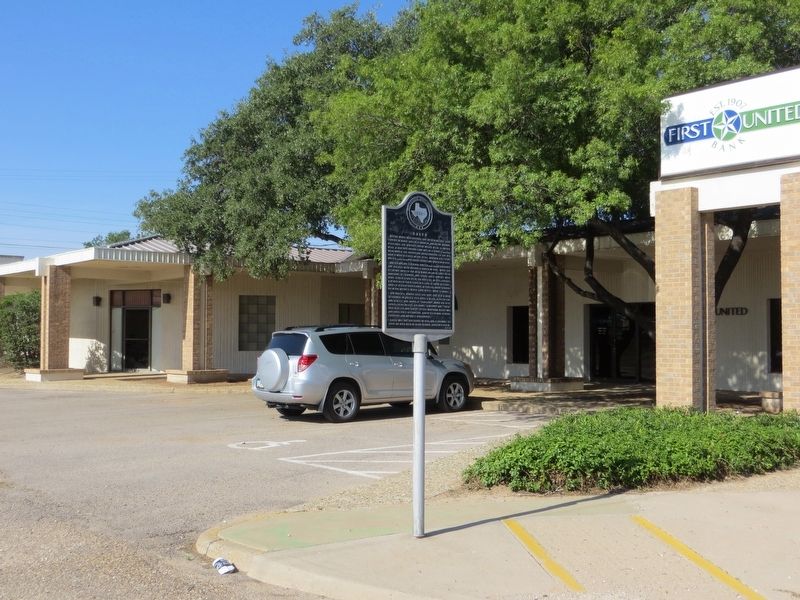
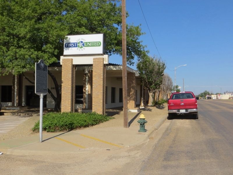
Location. 34° 13.969′ N, 102° 24.505′ W. Marker is in Earth, Texas, in Lamb County. Marker is at the intersection of East Main Street and South Cedar Street, on the right when traveling east on East Main Street. Marker is on the southwest corner. Touch for map. Marker is in this post office area: Earth TX 79031, United States of America. Touch for directions.
Other nearby markers. At least 8 other markers are within 11 miles of this marker, measured as the crow flies. Quanah Parker Trail (about 500 feet away, measured in a direct line); Springlake-Earth School (approx. 3.4 miles away); First Irrigation Well in Lamb County (approx. 4.9 miles away); Springlake Cemetery (approx. 5.1 miles away); Spring Lake (approx. 5.2 miles away); Lamb County Sand Hills (approx. 8.6 miles away); Sod House Spring (approx. 8.9 miles away); The J. W. Carter Family and the 7-Up Ranch (approx. 10.4 miles away). Touch for a list and map of all markers in Earth.
Credits. This page was last revised on June 17, 2017. It was originally submitted on June 17, 2017, by Bill Kirchner of Tucson, Arizona. This page has been viewed 463 times since then and 29 times this year. Photos: 1, 2, 3, 4. submitted on June 17, 2017, by Bill Kirchner of Tucson, Arizona.


