Natchez in Adams County, Mississippi — The American South (East South Central)
Intersection of Main and South Union Streets
Natchez Trails
Inscription.
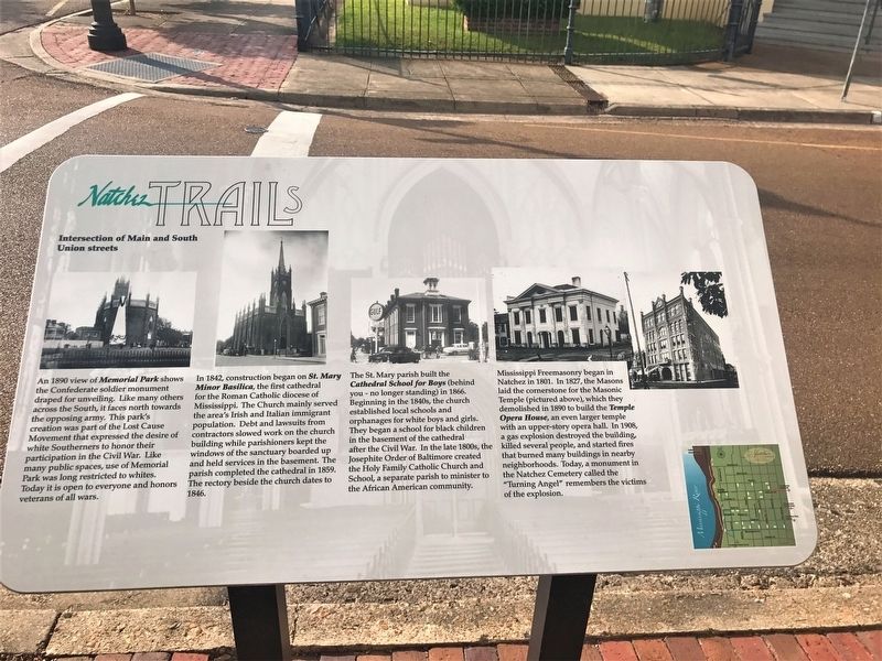
An 1890 view of Memorial Park shows the Confederate soldier monument draped for unveiling. Like many others across the south, it faces north towards the opposing army.The park's creation was part of the Lost Cause Movement that expressed the desire of white Southerners to honor their participation in the Civil War. Like many public spaces, use of Memorial Park was long restricted to whites. Today it is open to everyone and honors veterans of all wars.
In 1842, construction began on St. Mary Minor Basilica, the first cathedral for the Roman Catholic diocese in Mississippi. The Church mainly served the area's Irish and Italian immigrant population.Debt and lawsuits from contractors slowed work on the church building while parishioners kept the windows of the sanctuary boarded up and held services in the basement. The parish completed the cathedral in 1859. The rectory beside the church dates to 1846.
St. Mary parish built the Cathedral School for Boys (behind you - no longer standing) in 1866. Beginning in the 1840s, the church established local schools and orphanages for white boys and girls. They began a school for black children in the basement of the cathedral after the Civil War. In the late 1800s, the Josephite Order of Baltimore created Holy Family Catholic Church and School, a separate parish to minister to the African American community.
Mississippi Freemasonry began in Natchez in 1801. In 1827, the Masons laid the cornerstone for the Masonic Temple (pictured above), which they demolished in 1890 to build the Temple Opera House, an even larger temple with an upper-story opera hall. In 1908, a gas explosion destroyed the building, killed several people, and started fires that burned many buildings in nearby neighborhoods. Today, a monument in the Natchez Cemetery called the "Turning Angel" remembers the victims of the explosion.
Erected by City of Natchez.
Topics and series. This historical marker is listed in these topic lists: Churches & Religion • Fraternal or Sororal Organizations • Settlements & Settlers. In addition, it is included in the Mississippi - Natchez Trails series list.
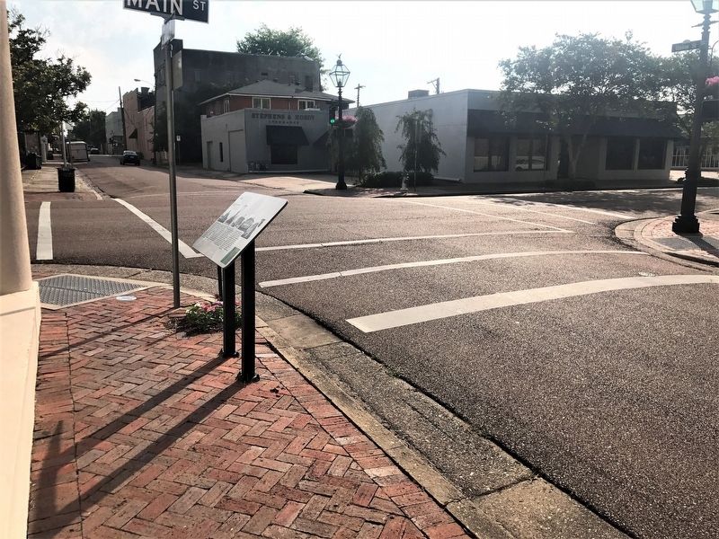
Location. 31° 33.535′ N, 91° 24.094′ W. Marker is in Natchez, Mississippi, in Adams County. Marker is at the intersection of South Union Street and Main Street, on the left when traveling north on South Union Street. Touch for map. Marker is in this post office area: Natchez MS 39120, United States of America. Touch for directions.
Other nearby markers. At least 8 other markers are within walking distance of this marker. St. Mary's Cathedral (within shouting distance of this marker); Bishops' Prayer Garden
(within shouting distance of this marker); Immaculate Conception Shrine c. 1846 (within shouting distance of this marker); Intersection of Main and South Commerce streets (about 300 feet away, measured in a direct line); This Cannon (about 400 feet away); Site of Cokesbury Chapel (about 400 feet away); Lambert-Taylor House (about 400 feet away); Intersection of North Union and Franklin streets (about 400 feet away). Touch for a list and map of all markers in Natchez.
Credits. This page was last revised on November 30, 2023. It was originally submitted on June 18, 2017, by Cajun Scrambler of Assumption, Louisiana. This page has been viewed 339 times since then and 48 times this year. Photos: 1, 2. submitted on June 18, 2017.

