Near Floydada in Floyd County, Texas — The American South (West South Central)
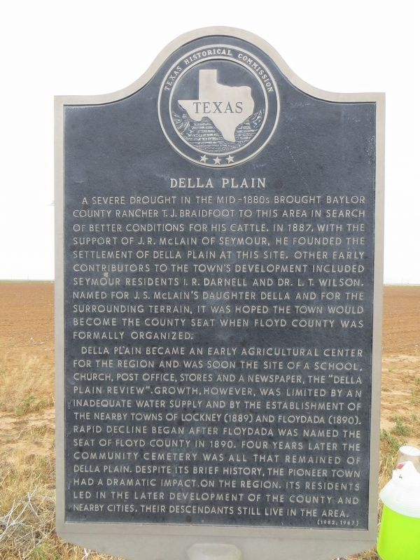
Della Plain
Della Plain became an early agricultural center for the region and was soon the site of a school, church, post office, stores and a newspaper, the "Della Plain Review." Growth, however, was limited by an inadequate water supply and by the establishment of the nearby towns of Lockney (1889) and Floydada (1890). Rapid decline began after Floydada was named the seat of Floyd County in 1890. Four years later the community cemetery was all that remained of Della Plain. Despite its brief history, the pioneer town had a dramatic impact on the region. Its residents led in the later development of the county and nearby cities. Their descendants still live in the area.
Erected 1982 by Texas Historical Commission. (Marker Number 1202.)
Topics. This historical marker is listed in these topic lists: Agriculture • Settlements & Settlers. A significant historical year for this entry is 1887.
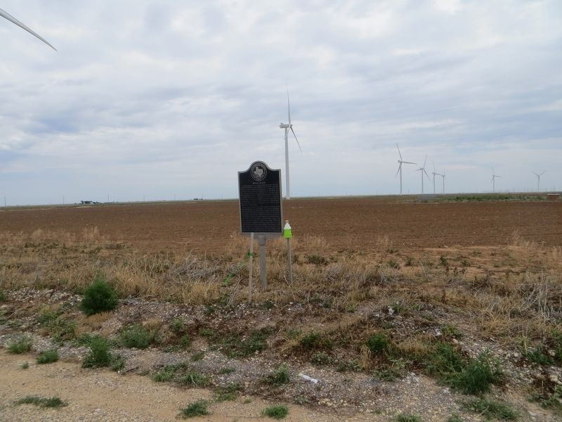
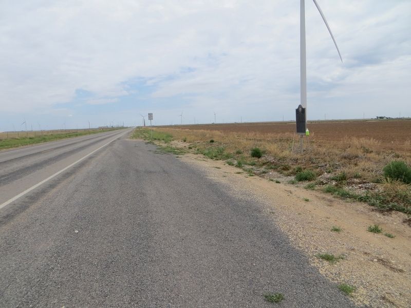
Location. 34° 4.055′ N, 101° 19.358′ W. Marker is near Floydada, Texas, in Floyd County. Marker is on State Highway 207 north of Farm to Market Road 786, on the right when traveling north. Touch for map. Marker is in this post office area: Floydada TX 79235, United States of America. Touch for directions.
Other nearby markers. At least 8 other markers are within 6 miles of this marker, measured as the crow flies. Commercial Hotel (approx. 5.7 miles away); Dolphin Ward Floyd (approx. 5.8 miles away); Organization of Floyd County (approx. 5.8 miles away); First National Bank of Floydada (approx. 5.8 miles away); Floydada Chapter No. 31, Order of the Eastern Star (approx. 5.9 miles away); Floydada Lodge No. 712, A. F. & A. M. (approx. 5.9 miles away); First Methodist Church of Floydada (approx. 6 miles away); First Baptist Church of Floydada (approx. 6 miles away). Touch for a list and map of all markers in Floydada.
Credits. This page was last revised on June 21, 2017. It was originally submitted on June 21, 2017, by Bill Kirchner of Tucson, Arizona. This page has been viewed 329 times since then and 37 times this year. Photos: 1, 2, 3. submitted on June 21, 2017, by Bill Kirchner of Tucson, Arizona.


