Floydada in Floyd County, Texas — The American South (West South Central)
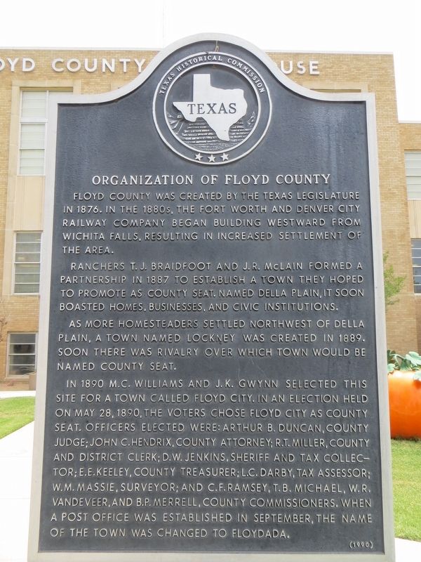
Organization of Floyd County
Ranchers T. J. Braidfoot and J. R. McLain formed a partnership in 1887 to establish a town they hoped to promote as county seat. Named Della Plain, it soon boasted homes, businesses, and civic institutions.
As more homesteaders settled northwest of Della Plain, a town named Lockney was created in 1889. Soon there was rivalry over which town would be named county seat.
In 1890 M. C. Williams and J. K. Gwynn selected this site for a town called Floyd City. In an election held on May 28, 1890, the voters chose Floyd City as county seat. Officers elected were: Arthur B. Duncan, County Judge; John C. Hendrix, County Attorney; R. T. Miller, County and District Clerk; D. W. Jenkins, Sheriff and Tax Collector; E. E. Keeley, County Treasurer; L. C. Darby, Tax Assessor; W. M. Massie, Surveyor; and C. F. Ramsey, T. B. Michael, W. R. Vandeveer, and B. P. Merrell, County Commissioners. When a post office was established in September, the name of the town was changed to Floydada.
Erected 1990 by Texas Historical Commission. (Marker Number 3867.)
Topics. This historical marker is listed in this topic list: Settlements & Settlers. A significant historical date for this entry is May 28, 1890.
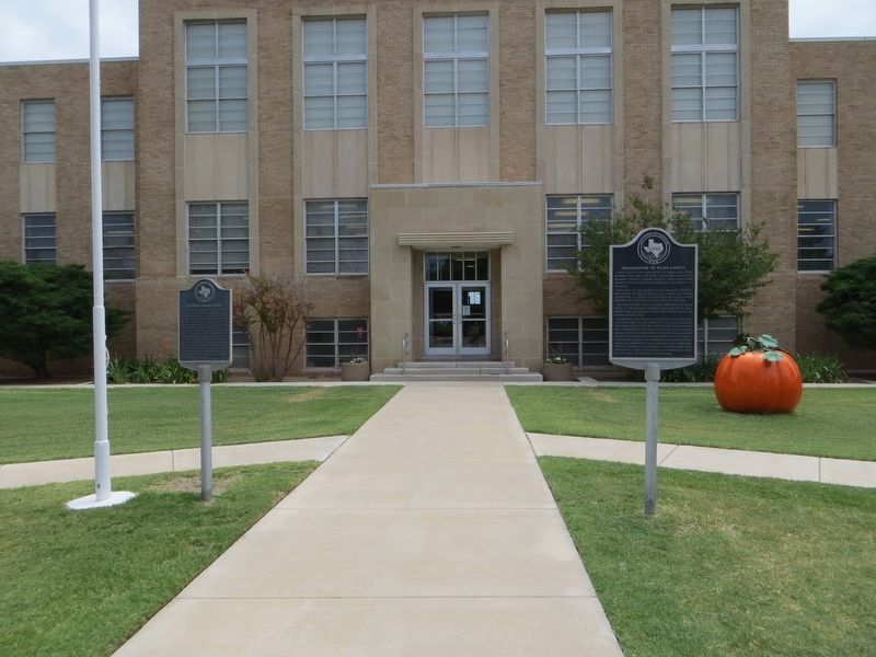
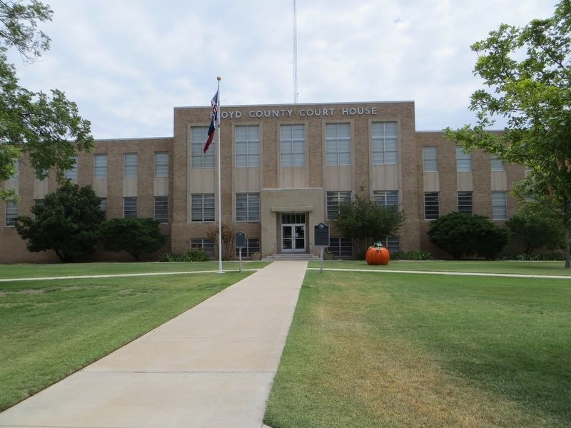
Location. 33° 59.098′ N, 101° 20.064′ W. Marker is in Floydada, Texas, in Floyd County. Marker is on South Main Street, on the right when traveling north. Marker is on the court house lawn. Touch for map. Marker is in this post office area: Floydada TX 79235, United States of America. Touch for directions.
Other nearby markers. At least 8 other markers are within walking distance of this marker. Dolphin Ward Floyd (here, next to this marker); First National Bank of Floydada (within shouting distance of this marker); Commercial Hotel (about 700 feet away, measured in a direct line); Floydada Chapter No. 31, Order of the Eastern Star (approx. 0.2 miles away); Floydada Lodge No. 712, A. F. & A. M. (approx. 0.2 miles away); First Baptist Church of Floydada (approx. ¼ mile away); First Methodist Church of Floydada (approx. ¼ mile away); Floydada, Texas (approx. half a mile away). Touch for a list and map of all markers in Floydada.
Credits. This page was last revised on June 22, 2017. It was originally submitted on June 22, 2017, by Bill Kirchner of Tucson, Arizona. This page has been viewed 216 times since then and 17 times this year. Photos: 1, 2, 3. submitted on June 22, 2017, by Bill Kirchner of Tucson, Arizona.


