Near Matador in Motley County, Texas — The American South (West South Central)
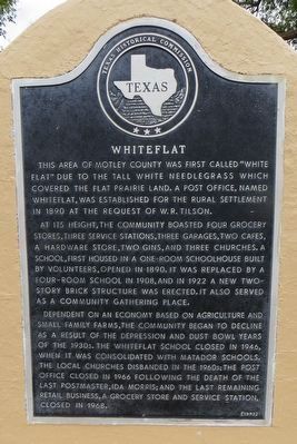
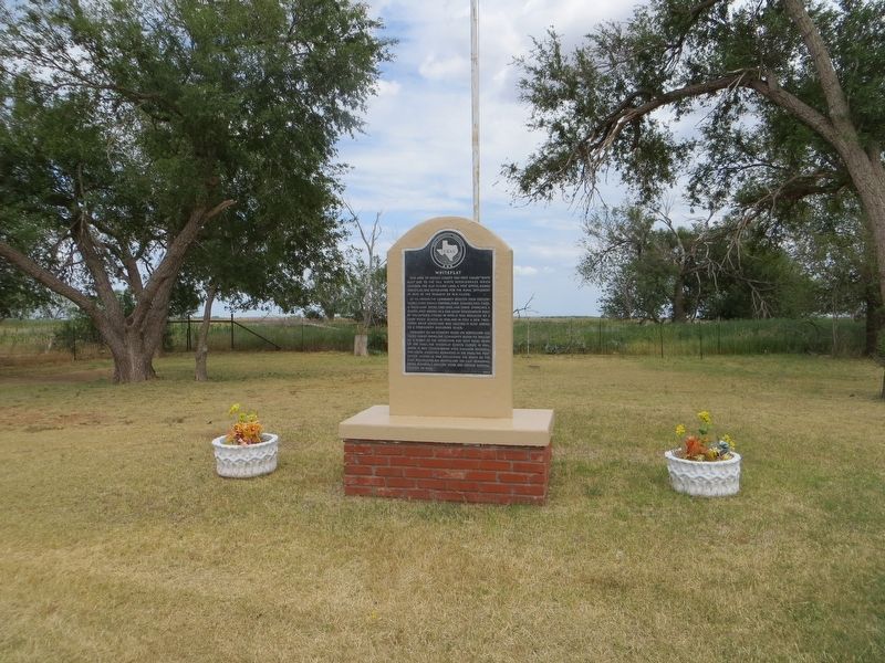
Whiteflat
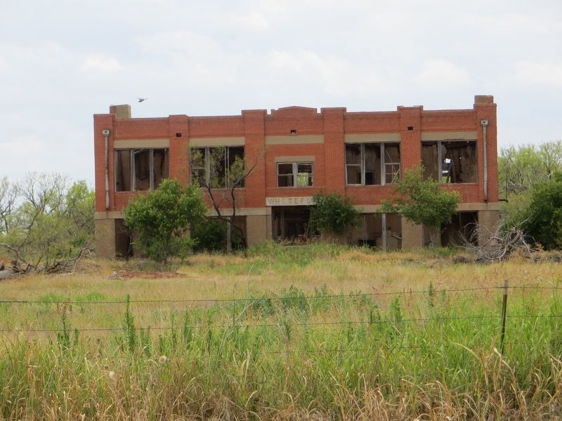
At its height, the community boasted four grocery stores, three service stations, three garages, two cafes, a hardware store, two gins, and three churches. A school, first housed in a one-room schoolhouse built by volunteers, opened in 1890. It was replaced by a four-room school in 1908, and in 1922 a new two-story brick structure was erected. It also served as a community gathering place.
Dependent on an economy based on agriculture and small family farms, the community began to decline as a result of the Depression and dust bowl years of the 1930s. The Whiteflat School closed in 1946, when it was consolidated with Matador Schools. The local churches disbanded in the 1960s; the post office closed in 1966 following the death of the last postmaster, Ida Morris; and the last remaining retail business, a grocery store and service station, closed in 1968.
Erected 1991 by Texas Historical Commission. (Marker Number 5788.)
Topics. This historical marker is listed in this topic list: Settlements & Settlers. A significant historical year for this entry is 1890.
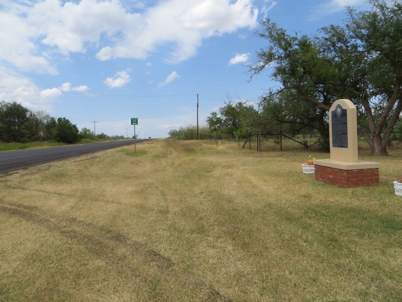
Location. 34° 6.367′ N, 100° 53.376′ W. Marker is near Matador, Texas, in Motley County. Marker is on State Highway 70, 7˝ miles north of U.S. 70, on the right when traveling north. Touch for map. Marker is in this post office area: Matador TX 79244, United States of America. Touch for directions.
Other nearby markers. At least 8 other markers are within 9 miles of this marker, measured as the crow flies. Motley County Jail (approx. 7.4 miles away); Bob's Oil Well (approx. 7.4 miles away); Quanah Parker Trail (approx. 7.4 miles away); a different marker also named Quanah Parker Trail (approx. 7˝ miles away); Traweek House (approx. 7˝ miles away); The Motley County Railroad (approx. 7.8 miles away); Motley County (approx. 8.2 miles away); Matador Ranch (approx. 8.3 miles away). Touch for a list and map of all markers in Matador.
Credits. This page was last revised on June 24, 2017. It was originally submitted on June 24, 2017, by Bill Kirchner of Tucson, Arizona. This page has been viewed 392 times since then and 54 times this year. Photos: 1, 2, 3, 4. submitted on June 24, 2017, by Bill Kirchner of Tucson, Arizona.


