La Antigua, Veracruz, Mexico — The Gulf Coast (North America)
Second Municipal Council in the Americas
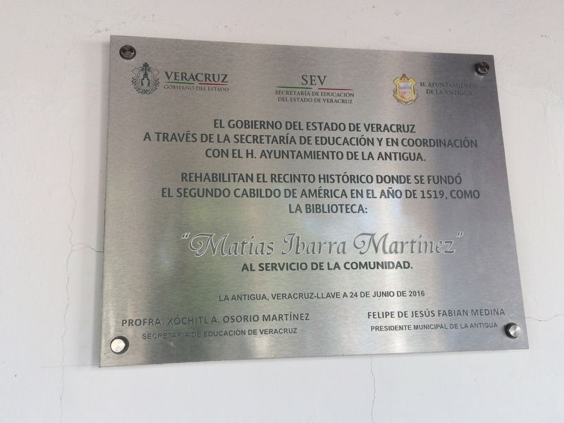
a través de la Secretaría de Educación y en coordinación
con el H. Ayuntamiento de La Antigua.
Rehabilitan el recinto histórico donde se fundó
el segundo cabildo de América en el año de 1519, como
La Biblioteca
“Matías Ibarra Martínez”
al servicio de la comunidad.
La Antigua, Veracruz-Llave a 24 de junio de 2016
Profra. Xóchitl A. Osorio Martínez
Secretaria de Educación de Veracruz
Felipe de Jesús Fabian Medina
Presidente Municipal de La Antigua
La Antigua, Veracruz-Llave, June 24, 2016
Names of government officials
Erected 2016 by Gobierno del Estado de Veracruz, a través de la Secretaría de Educación y en coordinación con el H. Ayuntamiento de La Antigua.
Topics. This historical marker is listed in these topic lists: Colonial Era • Government & Politics. A significant historical date for this entry is June 24, 2016.
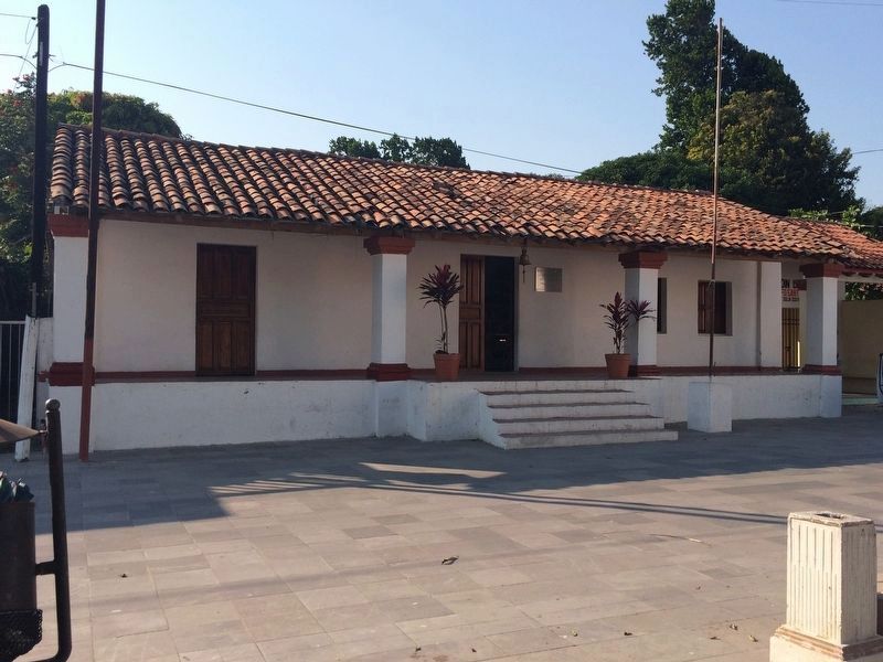
Location. 19° 19.309′ N, 96° 19.281′ W. Marker is in La Antigua, Veracruz. Marker is on Calle Principal, on the right when traveling south. The marker is on the town's public library west of the central park. Touch for map. Marker is in this post office area: La Antigua VER 91680, Mexico. Touch for directions.
Other nearby markers. At least 8 other markers are within 24 kilometers of this marker, measured as the crow flies. Cempoala (approx. 16.4 kilometers away); Founding of Villa Rica de la Veracruz (approx. 23.2 kilometers away); Birthplace of Salvador Díaz Mirón (approx. 23.2 kilometers away); Luz Nava (approx. 23.2 kilometers away); Birthplace of Manuel Gutiérrez Zamora (approx. 23.2 kilometers away); Mail and Telegraph Building (approx. 23.3 kilometers away); Monument to Spanish Exiles in Mexico (approx. 23.3 kilometers away); The Plaza of the Republic (approx. 23.4 kilometers away).
Regarding Second Municipal Council in the Americas. The very first 'cabildo' or municipal council in the Americas was formed at Villa La Isabela by the Spanish on the northern coast of what is now the Dominican Republic in 1494.
Photographed By J. Makali Bruton, March 24, 2017
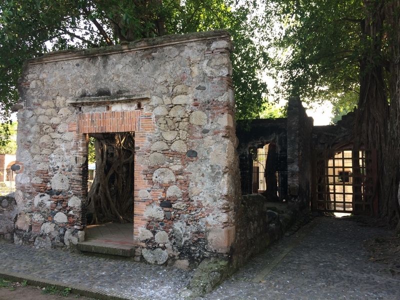
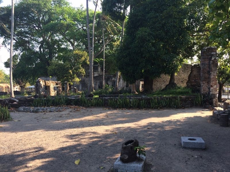
3. Nearby 16th century Spanish ruins
Near the cabildo building are these preserved ruins of 16th century Spanish construction. The ruins were part of a town known as the Villa Rica de la Veracruz. This town was the seat of Spanish power on the Veracruz coast until 1600 when the city was moved to the present location of Veracruz near the fort of San Juan de Ulúa.
Credits. This page was last revised on January 4, 2023. It was originally submitted on June 27, 2017, by J. Makali Bruton of Accra, Ghana. This page has been viewed 174 times since then and 3 times this year. Photos: 1, 2, 3, 4, 5. submitted on June 27, 2017, by J. Makali Bruton of Accra, Ghana.
