Folsom in Union County, New Mexico — The American Mountains (Southwest)
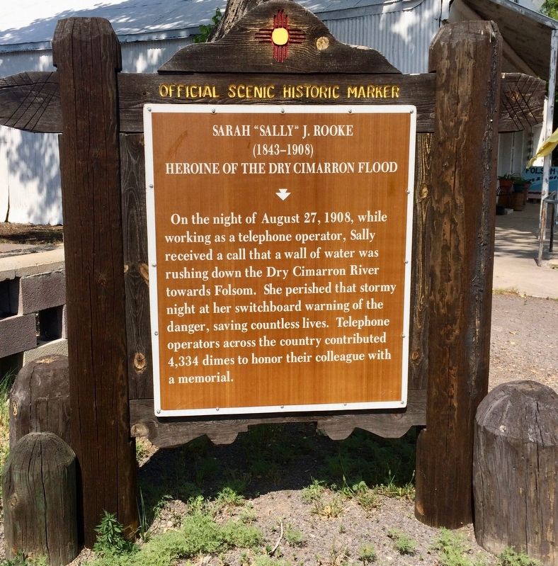
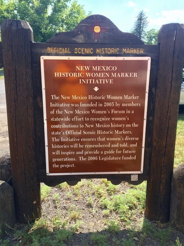
Sarah "Sally" J. Rooke / New Mexico Historic Women Marker Initiative
— Official Scenic Historic Marker —
Front
(1843-1908)
Heroine of the Dry Cimarron Flood
Rear
Erected by State of New Mexico.
Topics and series. This historical marker is listed in these topic lists: Communications • Disasters • Waterways & Vessels • Women. In addition, it is included in the New Mexico Women’s Historic Marker Initiative series list. A significant historical date for this entry is August 27, 1908.
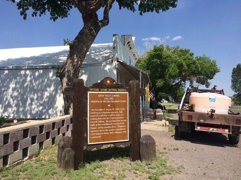
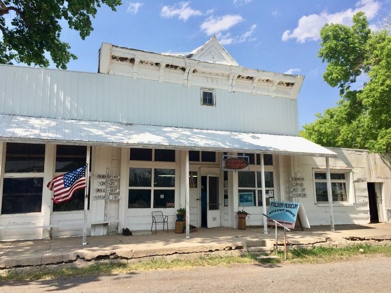
Location. 36° 50.694′ N, 103° 55.055′ W. Marker is in Folsom, New Mexico, in Union County. Marker is at the intersection of Main Street (New Mexico Route 325) and Gratz Street (New Mexico Route 456), on the right when traveling east on Main Street. Touch for map. Marker is at or near this postal address: 101 Main Street, Folsom NM 88419, United States of America. Touch for directions.
Other nearby markers. At least 8 other markers are within 9 miles of this marker, measured as the crow flies. Building a Cinder Cone (approx. 5.3 miles away); Grasslands Meet Mountains (approx. 5.3 miles away); The Raton-Clayton Volcanic Field (approx. 5.3 miles away); Making A Monument (approx. 5.3 miles away); Welcome to Capulin Volcano National Monument (approx. 5.7 miles away); Sierra Grande (approx. 6.8 miles away); Capulin Volcano National Monument (approx. 7.6 miles away); a different marker also named Capulin Volcano National Monument (approx. 8.3 miles away).
Additional commentary.
1. Newspaper article from 1908 about the flood.
Central Operator, Heroine
Woman Saved the Lives of Many in New Mexico Flood.
TRINIDAD, Col., Aug. 29. – Between twenty and thirty dead, nearly half the town swept away, thousands of dollars' damage to town and property and great loss of live stock tell briefly the story of the flood at Folsom yearly yesterday. Twenty-four hours after the disaster the first definite news from the stricken town reached this city when refugees and passengers of a stranded Colorado & Southern reached the city shortly after 3 o'clock this morning.
To the list of ten known yesterday to have been drowned are added seven more victims. They are:
Charles Wheeler
Mrs. Charles Wheeler
Mrs. S. J. Rooke
Antonio Salazar
Miss Salazar
Mr. And Mrs. Joseph Guerin
Residents of the town who lived on high ground and beyond the reach of the torrent, saw houses containing families crying for aid swept away before their eyes, powerless to render them any assistance. Eye-witnesses of the disaster tell of seeing lights flickering for a moment in doomed buildings and hearing the structures crash together as they drifted into the narrow canon [sic] and were crushed like bits of pasteboard. Some lights could be seen a distance of nearly a mile down stream before the buildings were finally broken up and the occupants drowned. An entire row of buildings was completely swept away and others were jammed in a shapeless mass hundreds of yards from their foundations. Everywhere are seen bodies of drowned cattle and horses.
Only stone buildings and those on higher ground were left standing.
To Mrs. S. J. Rooke, telephone operator, who lost here [sic] life in the flood, many residents owe their escape. In the face of certain death this brave woman stayed in a doomed building until every method of escape was cut off by water, ending alarms to every resident who had a telephone.
It was learned today the Mrs. Rooke had ample warning to allow her to escape. A resident of the Hills telephoned her that she be flooded out within an hour if she did not leave. Instead of heeding the warning, the little woman set herself to the task of saving others. Over forty residents said today that they had received the warning from her. Her body was found today twelve miles down the canon [sic], the head piece worn by telephone operators, still gripped in her hand.
Direct communication by wire with Folsom, N. M., which was devastated and isolated by the flood in Cimarron creek Thursday night, was re-established today. Up to noon today thirteen bodies have been recovered and only five persons were still missing.
Source: The Nebraska State Journal, Lincoln, Nebraska August 30, 1908.
— Submitted June 29, 2017, by Mark Hilton of Montgomery, Alabama.
Credits. This page was last revised on January 1, 2021. It was originally submitted on June 29, 2017, by Mark Hilton of Montgomery, Alabama. This page has been viewed 1,167 times since then and 116 times this year. Photos: 1, 2, 3, 4. submitted on June 29, 2017, by Mark Hilton of Montgomery, Alabama.


