Wayne Township in Passaic County, New Jersey — The American Northeast (Mid-Atlantic)
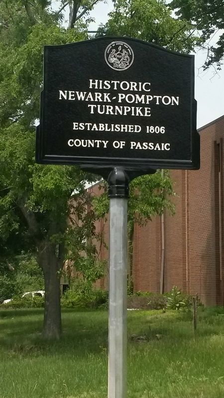
Historic Newark-Pompton Turnpike
Established 1806
— County of Passaic —
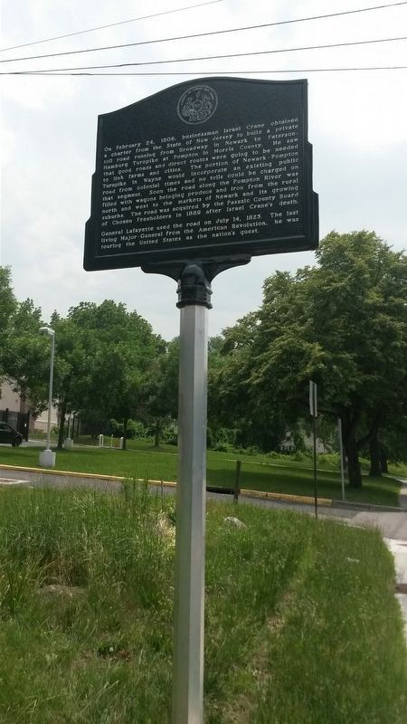
(side facing north)
On February 24, 1806, Businessman Israel Crane obtained a charter from the State of New Jersey to build a private toll road running from Broadway in Newark to Paterson-Hamburg Turnpike at Pompton in Morris County. He saw that good roads and direct routes were going to be needed to link farms and cities. The portion of Newark-Pompton Turnpike in Wayne would incorporate an existing public road from Colonial times and no tolls could be charged on that segment. Soon the road along the Pompton River was filled with wagons bringing produce and iron from the rural north and west to the markets of Newark and its growing suburbs. The road was acquired by the Passaic County Board of Chosen Freeholders in 1889 after Israel Crane's death. General Lafayette used the road on July 14, 1825. The last living Major-General from the American Revolution, he was touring the United States as the nation's guest.
Erected 2015 by County of Passaic.
Topics and series. This historical marker is listed in these topic lists: Industry & Commerce • Roads & Vehicles. In addition, it is included in the Lafayette’s Farewell Tour series list. A significant historical year for this entry is 1806.
Location. 40° 56.274′ N, 74° 16.435′ W. Marker is near Wayne, New Jersey, in Passaic County. It is in Wayne Township. Marker is on Newark-Pompton Turnpike (County Route 683), on the right when traveling north. Touch for map. Marker is in this post office area: Wayne NJ 07470, United States of America. Touch for directions.
Other nearby markers. At least 8 other markers are within 3 miles of this marker, measured as the crow flies. Morris Canal (approx. 0.4 miles away); Welcome to Morris County, NJ (approx. half a mile away); a different marker also named Morris Canal (approx. 0.9 miles away); a different marker also named Morris Canal (approx. 1.6 miles away); John Dods Tavern (approx. 1.9 miles away); Mandeville Farm Encampment Site (approx. 1.9 miles away); Giles Mandeville House (approx. 2.1 miles away); Newark – Pompton Turnpike (approx. 2.1 miles away). Touch for a list and map of all markers in Wayne.
More about this marker. The marker was designed by Passaic County Principal Planner Elizabeth Newton. The Passaic County Planning Board requested the marker as a condition of approval for a site plan application. The property owner funded and installed the marker.
Additional keywords. Toll Road
Credits. This page was last revised on February 7, 2023. It was originally submitted on June 23, 2017, by Michael La Place of Westfield, New Jersey. This page has been viewed 525 times since then and 46 times this year. Last updated on June 30, 2017, by Michael La Place of Westfield, New Jersey. Photos: 1, 2. submitted on June 23, 2017, by Michael La Place of Westfield, New Jersey. • Bill Pfingsten was the editor who published this page.

