Norton, Virginia — The American South (Mid-Atlantic)
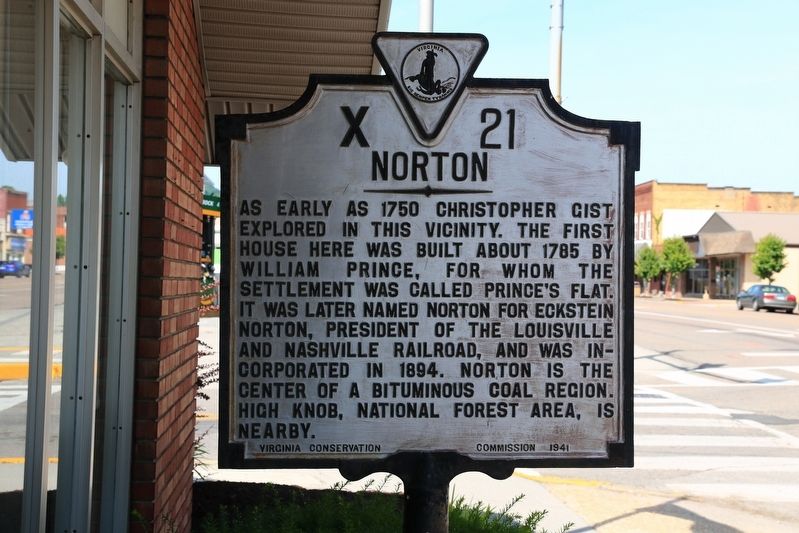
Norton
Erected 1941 by Virginia Conservation Commission. (Marker Number X-21.)
Topics. This historical marker is listed in these topic lists: Political Subdivisions • Settlements & Settlers. A significant day of the year for for this entry is May 31.
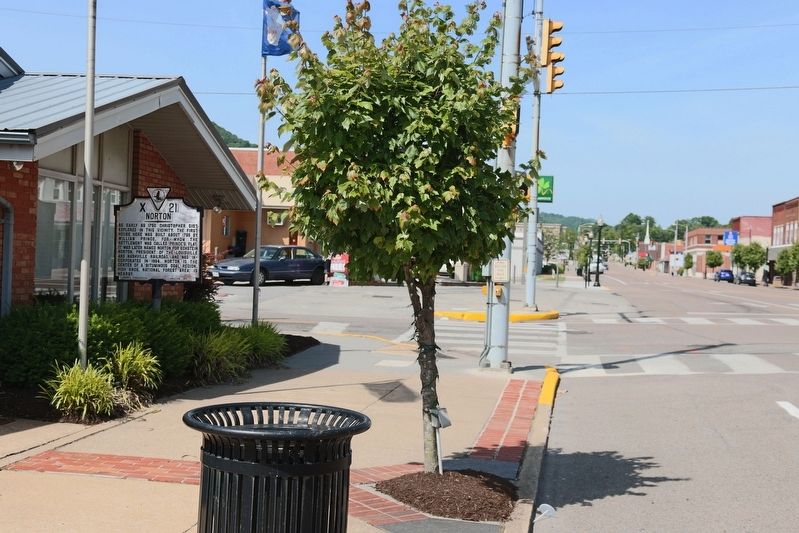
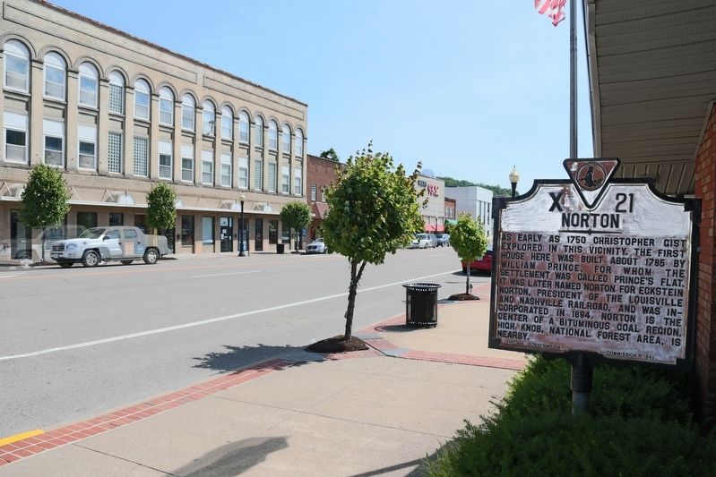
Location. 36° 56.014′ N, 82° 37.777′ W. Marker is in Norton, Virginia. Marker is at the intersection of Park Avenue NW (Business U.S. 23) and 8th Street NW, on the right when traveling east on Park Avenue NW. It is at the Wise County Chamber of Commerce office. Touch for map. Marker is at or near this postal address: 765 Park Ave NW, Norton VA 24273, United States of America. Touch for directions.
Other nearby markers. At least 8 other markers are within 5 miles of this marker, measured as the crow flies. Armed Forces Memorial (within shouting distance of this marker); First Integrated Little League Baseball Teams in Virginia (approx. ¼ mile away); Resolution Declaring a Sasquatch / Bigfoot Sanctuary (approx. one mile away); Norton / Coeburn (approx. 1.2 miles away); Benge’s Gap (approx. 2.6 miles away); Napoleon Hill (approx. 3½ miles away); E.M. Fulton House (approx. 4.1 miles away); Gladeville in the Civil War (approx. 4.1 miles away). Touch for a list and map of all markers in Norton.
Also see . . . Wikipedia Entry. “Norton is an independent city in the Commonwealth of Virginia. As of the 2010 census, the population was 3,958,[3] making it the least populous city in Virginia, along with the westernmost. ... Norton is located along the Powell and Guest Rivers.” (Submitted on July 1, 2017.)
Credits. This page was last revised on January 24, 2023. It was originally submitted on July 1, 2017, by J. J. Prats of Powell, Ohio. This page has been viewed 437 times since then and 32 times this year. Photos: 1, 2, 3. submitted on July 1, 2017, by J. J. Prats of Powell, Ohio.


