Marker Logo HMdb.org THE HISTORICAL
MARKER DATABASE
“Bite-Size Bits of Local, National, and Global History”
Near Chillicothe in Hardeman County, Texas — The American South (West South Central)
 

Texas Agricultural Experiment Station

Substation No. 12

— Home of Hybrid Sorghums —


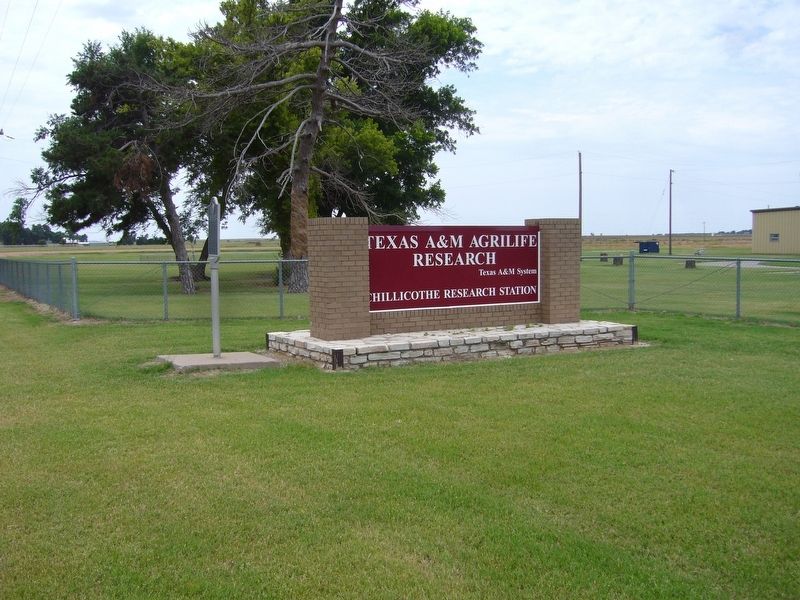
Texas Agricultural Experiment Station Marker image. Click for full size.
Photographed By Bill Kirchner, June 8, 2017
1. Texas Agricultural Experiment Station Marker
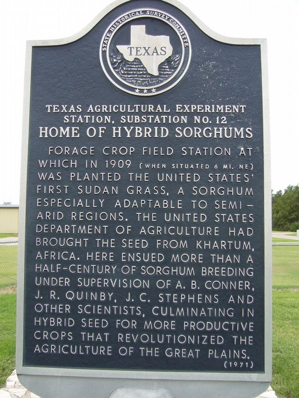
Inscription. Forage crop field station at which in 1909 (when situated 6 mi. NE) was planted the United States' first sudan grass, a sorghum especially adaptable to semiarid regions. The United States Department of Agriculture had brought the seed from Khartum, Africa. Here ensued more than a half-century of sorghum breeding under supervision of A. B. Conner, J. R. Quinby, J. C. Stephens and other scientists, culminating in hybrid seed for more productive crops that revolutionized the agriculture of the Great Plains.
 
Erected 1971 by State Historical Survey Committee. (Marker Number 5246.)
 
Topics. This historical marker is listed in this topic list: Agriculture. A significant historical year for this entry is 1909.
 
Location. 34° 11.665′ N, 99° 31.033′ W. Marker is near Chillicothe, Texas, in Hardeman County. Marker is on Farm to Market Road 392, on the right when traveling south. Touch for map. Marker is at or near this postal address: 1340 FM-392, Chillicothe TX 79225, United States of America. Touch for directions.
 
Other nearby markers. At least 8 other markers are within 12 miles of this marker, measured as the crow flies. Chillicothe First Methodist Church (approx. 4.2 miles away); Medicine Mound Community (approx. 4˝ miles away); W. P. A. Sanitation Project (approx. 4˝ miles away); Hicks & Cobb General Merchandise Store
Paid Advertisement
Click on the ad for more information.
Please report objectionable advertising to the Editor.
Click or scan to see
this page online
(approx. 4˝ miles away); Old Mounds Cemetery (approx. 5.4 miles away); Pease River Battlefield (approx. 10 miles away); Site of the Town of Margaret (approx. 10.6 miles away); The Lockett Community (approx. 11.4 miles away). Touch for a list and map of all markers in Chillicothe.
 
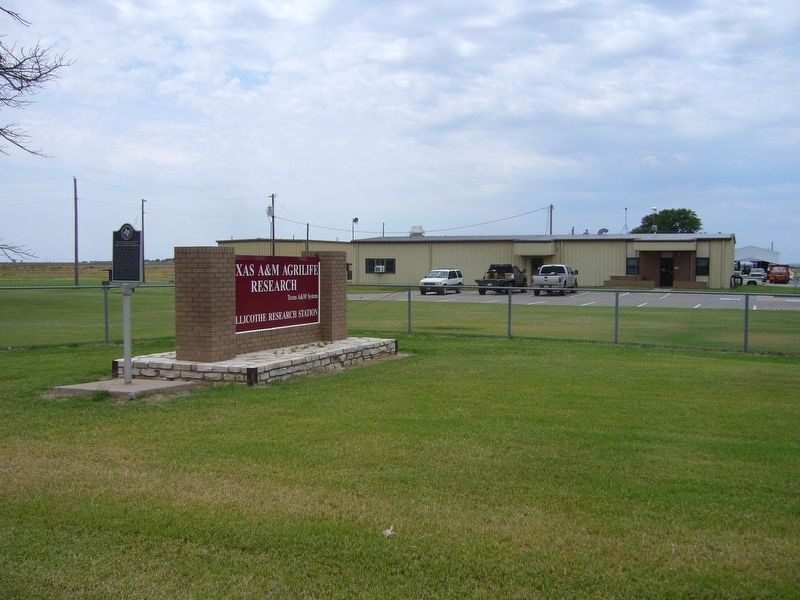
Texas Agricultural Experiment Station Marker image. Click for full size.
Photographed By Bill Kirchner, June 8, 2017
2. Texas Agricultural Experiment Station Marker
Texas Agricultural Experiment Station Marker image. Click for full size.
Photographed By Bill Kirchner, June 8, 2017
3. Texas Agricultural Experiment Station Marker
 
 
Credits. This page was last revised on July 2, 2017. It was originally submitted on July 2, 2017, by Bill Kirchner of Tucson, Arizona. This page has been viewed 402 times since then and 41 times this year. Photos:   1, 2, 3. submitted on July 2, 2017, by Bill Kirchner of Tucson, Arizona.
Share this page.  
Share on Tumblr
m=104922

CeraNet Cloud Computing sponsors the Historical Marker Database.
This website earns income from purchases you make after using our links to Amazon.com. We appreciate your support.
Paid Advertisement
Apr. 24, 2024