El Dorado Hills in El Dorado County, California — The American West (Pacific Coastal)
Prairie City Cemetery
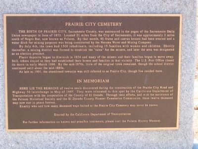
By July 4th, the town had 1500 inhabitants, including 15 families with women and children. Shortly thereafter, a mining district was formed to establish the “rules” for the miners, and later the area was designated as an election precinct.
Placer deposits began to diminish in 1854 and many of the miners and their families began to move away. Still, others stayed as they had established their homes and families in that vicinity. The U.S. Post Office closed its doors in early March 1866. By the mid-1870s, little of the original town remained, though the school district continued until about the mid-1880s.
As late as 1901, the abandoned townsite was still referred to as Prairie City, though few remained there.
In Memoriam
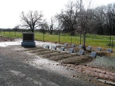
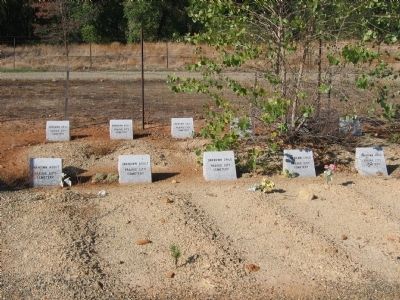
Here lie the remains of twelve souls discovered during the construction of the Prairie City Road and Highway 50 interchange in May of 1997. They were relocated to this spot by the California Department of Transportation with the cooperation of The County of El Dorado. Through their efforts, with the assistance of the Folsom Historical Society and El Dorado County Pioneer Cemetery Commission, these twelve deceased may now rest in peace forever.
Erected by California Department of Transportation.
Topics. This historical marker is listed in these topic lists: Cemeteries & Burial Sites • Settlements & Settlers. A significant historical year for this entry is 1853.
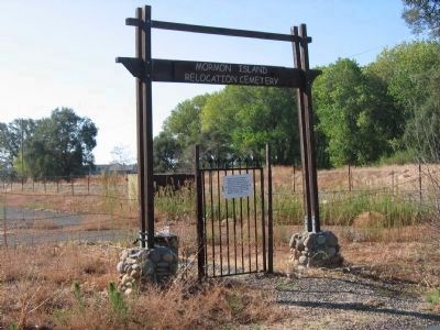
Location. 38° 41.866′ N, 121° 6.577′ W. Marker is in El Dorado Hills, California, in El Dorado County. Marker can be reached from Shadowfax Lane near Green Valley Road. Marker is located at the Mormon Island Relocation Cemetery. The Cemetery is located on Shadowfax Lane off of Green Valley Road. Touch for map. Marker is at or near this postal address: 2547 Shadowfax Lane, El Dorado Hills CA 95762, United States of America. Touch for directions.
Other nearby markers. At least 8 other markers are within 3 miles of this marker, measured as the crow flies. Mormon Island Relocation Cemetery (about 300 feet away, measured in a direct line); Mormon Island, Negro Hill, Salmon Falls, and Condemned Bar (approx. 0.2 miles away); a different marker also named Mormon Island (approx. one mile away); Folsom Dam Improvements (approx. 1.1 miles away); Johnny Cash Trail
(approx. 1.9 miles away); Sterlingshire (approx. 2 miles away); Railroad Gate (approx. 2.8 miles away); Prison Doodlebug (approx. 2.8 miles away). Touch for a list and map of all markers in El Dorado Hills.
Credits. This page was last revised on March 5, 2023. It was originally submitted on August 19, 2008, by Syd Whittle of Mesa, Arizona. This page has been viewed 2,039 times since then and 22 times this year. Photos: 1. submitted on August 19, 2008, by Syd Whittle of Mesa, Arizona. 2. submitted on February 18, 2009, by Syd Whittle of Mesa, Arizona. 3, 4. submitted on August 19, 2008, by Syd Whittle of Mesa, Arizona. • Kevin W. was the editor who published this page.


