Near Albany in Shackelford County, Texas — The American South (West South Central)
The Cable Tool Oil Field
1936
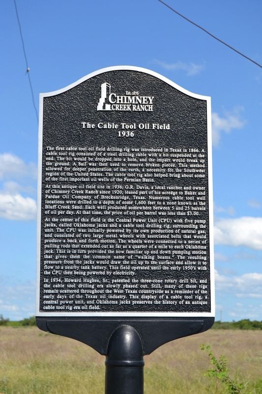
At this antique oil field site in 1936, G.R. Davis, a local rancher and owner of Chimney Creek Ranch since 1920, leased part of his acreage to Baker and Pardue Oil Company of Breckenridge, Texas. Numerous cable tool well locations were drilled to a depth of some 1,600 feet to a zone known as the Bluff Creek Sand. Each well produced somewhere between 5 and 25 barrels of oil per day. At that time, the price of oil per barrel was less than $3.00.
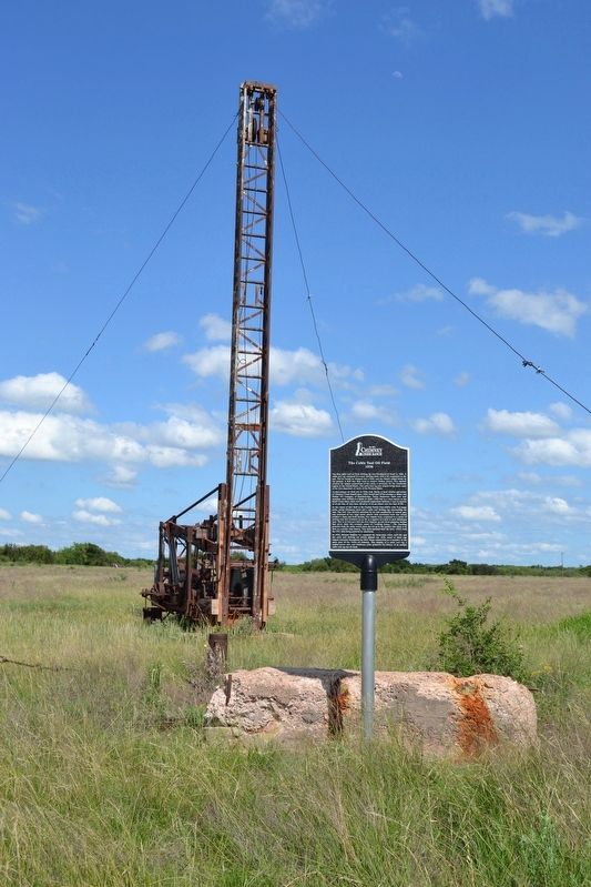
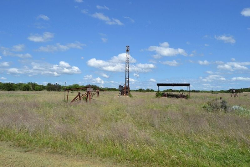
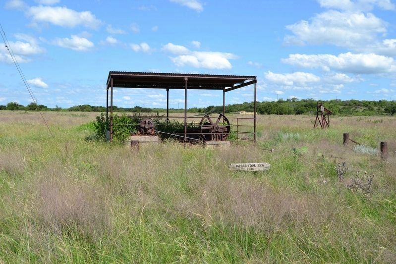
At the center of this field is the Central Power Unit (CPU) with five pump jacks, called Oklahoma jacks and a cable tool drilling rig, surrounding the unit. The CPU was initially powered by its own production of natural gas, and consisted of two large metal wheels with associated belts that would produce a back and forth motion. The wheels were connected to a series of pulling rods that extended out as far as a quarter of a mile to each Oklahoma jack. This is in turn provided the now familiar up and down pumping motion that gives them the common name of “walking beams.” The resulting pressure from the jacks would draw the oil up to the surface and allow it to flow to a nearby tank battery. This field operated until the early 1950’s with the CPU then being powered by electricity.
In 1934, Howard Hughes, Sr., patented the three-cone rotary drill bit, and the cable tool drilling era slowly phased out. Still, many of these rigs remain scattered throughout the West Texas countryside as a reminder of the early days of the Texas oil industry. This display of a cable tool rig, a central power unit, and Oklahoma jacks preserves the history of an antique cable tool rig era oil field.
Erected by Chimney Creek Ranch.
Topics. This historical marker is listed in this topic list: Industry & Commerce. A significant historical year for this entry is 1936.
Location. 32° 42.436′ N, 99° 31.476′ W. Marker is near Albany, Texas, in Shackelford County. Marker can be reached from Chimney Creek Ranch Road (County Road 220) 2.3 miles south of U.S. 180, on the right when traveling south. Touch for map. Marker is in this post office area: Albany TX 76430, United States of America. Touch for directions.
Other nearby markers. At least 8 other markers are within 10 miles of this marker, measured as the crow flies. Smith's Station (approx. 0.2 miles away); Cold War Hardline Communications Pit (approx. 1.4 miles away); Butterfield Overland Mail (approx. 2 miles away); Bud Matthews Switch of the Texas Central Railway (approx. 2 miles away); Lueders Cemetery (approx. 6.9 miles away); Big Country Baptist Assembly (approx. 7.8 miles away); Fort Phantom Hill (approx. 10 miles away); a different marker also named Fort Phantom Hill (approx. 10.1 miles away). Touch for a list and map of all markers in Albany.
More about this marker. The marker is located 1/3 mile west of County Road 220. Although the marker is located on private property, the property owners allow public access to the site.
Credits. This page was last revised on July 8, 2017. It was originally submitted on July 8, 2017, by Duane Hall of Abilene, Texas. This page has been viewed 371 times since then and 51 times this year. Photos: 1, 2, 3, 4, 5. submitted on July 8, 2017, by Duane Hall of Abilene, Texas.


