Highland in Shreveport in Caddo Parish, Louisiana — The American South (West South Central)
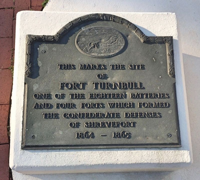
Fort Turnbull
of
Fort Turnbull
one of the eighteen batteries
and four forts which formed
the Confederate defenses
of Shreveport
1864 – 1865
Topics. This historical marker is listed in these topic lists: Forts and Castles • War, US Civil. A significant historical year for this entry is 1864.
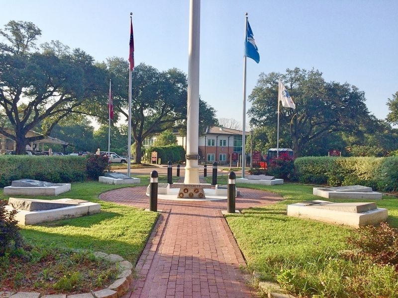
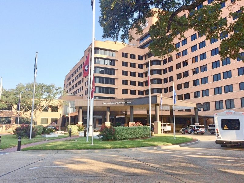
Location. 32° 30.158′ N, 93° 43.277′ W. Marker is in Shreveport, Louisiana, in Caddo Parish. It is in Highland. Marker is on Veterans Way north of East Stoner Avenue. Located under the flagpole of the Overton Brooks VA Medical Center. Touch for map. Marker is at or near this postal address: 510 East Stoner Avenue, Shreveport LA 71101, United States of America. Touch for directions.
Other nearby markers. At least 8 other markers are within walking distance of this marker. This Marks the Site of Battery 1 (here, next to this marker); American Ex-Prisoners Of War (here, next to this marker); Fort Humbug (approx. ¼ mile away); This Marks the Site of Battery 3 (approx. half a mile away); This Marks the Site of Battery 4 (approx. 0.6 miles away); Pete Youree Confederate Monument (approx. 0.6 miles away); Greenwood Cemetery (approx. 0.7 miles away); Coates Bluff (approx. 0.7 miles away). Touch for a list and map of all markers in Shreveport.
Regarding Fort Turnbull. The purpose of Fort Turnbull — to bombard Union ships navigating the Red River with “enfilade fire,” or fire directed along the ships’ longest axis. Also known as “flanking fire,” it would have been carried out by a variety of bronze and iron cannon mounted on the flat areas of what is now Overton Brooks VA Hospital, as well as smaller forts in the surrounding area. These fort sites also contained “bomb proofs,” or earth-covered shelters, and rifle trenches for Confederate soldiers.
But the ships never came, and after its founding the fort never saw action for the duration of the war. Cut off from the rest of the Confederacy after the Battle of Vicksburg, Fort Turnbull became a part of a region that was largely independent from the rest of the Confederacy.
With a lack of equipment or skilled labor, three forts and twelve batteries were quickly constructed in the Shreveport area. Federal spies reported that Shreveport was heavily armed with cannons, and Federal Admiral Porter and General Nathaniel Banks, who believed this, turned around. Of course, Fort Turnbull, the original name of the fort, was nothing but felled trees, cut, burned and fashioned to look like cannons. General John Bankhead Magruder was correct when he described it as nothing but a “humbug” and the Fort Humbug name stuck.
Credits. This page was last revised on February 12, 2023. It was originally submitted on July 11, 2017, by Mark Hilton of Montgomery, Alabama. This page has been viewed 653 times since then and 32 times this year. Photos: 1, 2, 3. submitted on July 11, 2017, by Mark Hilton of Montgomery, Alabama.


