Thompson in Schoolcraft County, Michigan — The American Midwest (Great Lakes)
Thompson Docks
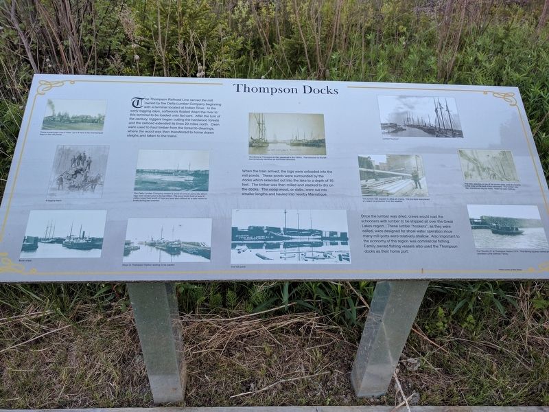
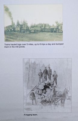
The Thompson Railroad Line served the mill owned by the Delta Lumber Company beginning with a terminal located at Indian River. In the early logging days, softwoods floated down the river to this terminal to be loaded onto flat cars. After the turn of the century, loggers began cutting the hardwood forests and the railroad extended its lines 20 miles north. Oxen were used to haul timber from the forest to clearings, where the wood was then transferred to horse drawn sleighs and taken to the trains.
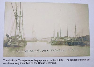
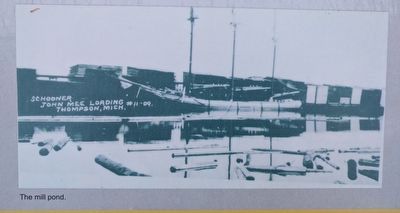
When the train arrived, the logs were unloaded into the mill ponds. These ponds were surrounded by the docks which extended out into the lake a depth of 16 feet. The timber was then milled and stacked to dry on the docks. The scrap wood, or slabs, were cut into smaller lengths and hauled to nearby Manistique.
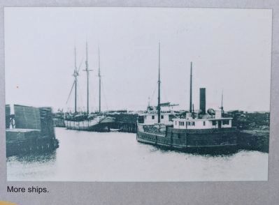
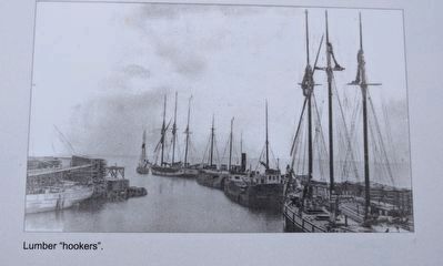
Once the lumber was dried, crews would load the schooners with lumber to be shipped all over the Great Lakes region. These lumber "hookers", as they were called, were designed for shoal water operation since many mill ports were relatively shallow. Also important to the economy of the region was commercial fishing. Family owned fishing vessels also used the Thompson docks as their home port.
Photos courtesy of Miles Stanley
Topics. This historical marker is listed in this topic list: Industry & Commerce .
Location. 45° 54.401′ N, 86° 19.476′ W. Marker is in Thompson, Michigan, in Schoolcraft County. Marker is on unnamed road, 0.1 miles east of U.S. 2, on the right when traveling east. The unnamed road is north of Thompson, about 415 feet north of Manistique Avenue. Touch for map. Marker is in this post office area: Manistique MI 49854, United States of America. Touch for directions.
Other nearby markers. At least 6 other markers are within 5 miles of this marker, measured as the crow flies. Christmas Tree Ship / Thompson (here, next to this marker); The Mill Brings Prosperity to Thompson (here, next to this marker); The Christmas Tree Ship (here, next to this marker); Life in a Lumber Town (here, next to this marker); Schoolcraft County (here, next to this marker); Carl D. Bradley (approx. 5.1 miles away).
Photographed By Joel Seewald, May 31, 2017
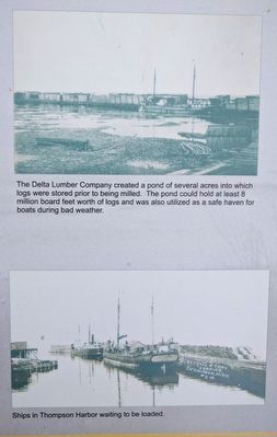
4. Near Left Images
Top: The Delta Lumber Company created a pond of several acres into which logs were stored prior to being milled. The pond could hold at least 8 million board feet worth of logs and was also utilized as a safe haven for boats during bad weather. Bottom: Ships in Thompson Harbor waiting to be loaded.
Photographed By Joel Seewald, May 31, 2017
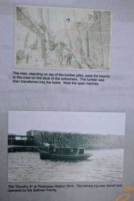
9. Bottom Far Right Images
Top: The men, standing on top of the lumber piles, pass the boards to the crew on the deck of the schooners. The lumber was then transferred into the holds. Note the open hatches. Bottom: The "Dorothy S" at Thompson Harbor 1914. This fishing tug was owned and operated by the Sellman Family.
Credits. This page was last revised on July 12, 2017. It was originally submitted on July 12, 2017, by Joel Seewald of Madison Heights, Michigan. This page has been viewed 175 times since then and 6 times this year. Photos: 1, 2, 3, 4, 5, 6, 7, 8, 9, 10. submitted on July 12, 2017, by Joel Seewald of Madison Heights, Michigan.
