Fayette in Jefferson County, Mississippi — The American South (East South Central)
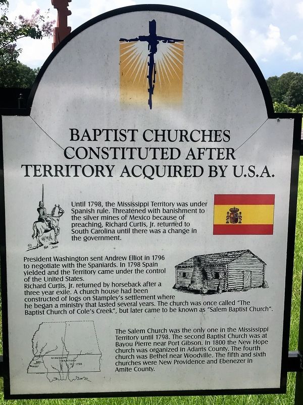
Baptist Churches Constituted After Territory Acquired By U.S.A.
Inscription.
Until 1798, The Mississippi Territory was under Spanish rule. Threatened with banishment to the silver mines of Mexico because of preaching, Richard Curtis, Jr. returned to South Carolina until there was a change in the government.
President Washington sent Andrew Elliot in 1796 to negotiate with the Spaniards. In 1798 Spain yielded and the Territory came under the control of the United States.
Richard Curtis, Jr. returned by horseback after a three year exile. A church house had been constructed of logs on Stampley's settlement where he began a ministry that lasted several years. The church was once called " The Baptist Church of Cole's Creek", but later came to be known as "Salem Baptist Church".
The Salem Church was the only one in the Mississippi Territory until 1798. The second Baptist Church was at Bayou Pierre near Port Gibson. In 1800 the New Hope church was organized in Adams County. The fourth church was Bethel near Woodville. The fifth and sixth churches were New Providence and Ebenezer in Amite County.
Erected by Mississippi Baptist Historical Commission.
Topics and series. This historical marker is listed in these topic lists: Churches & Religion • Colonial Era • Settlements & Settlers. In addition, it is included in the Former U.S. Presidents: #01 George Washington series list.
Location. 31° 39.395′ N, 91° 8.164′ W. Marker is in Fayette, Mississippi, in Jefferson County. Marker can be reached from U.S. 61, one mile south of Stampley Road, on the left when traveling south. Touch for map. Marker is in this post office area: Fayette MS 39069, United States of America. Touch for directions.
Other nearby markers. At least 8 other markers are within walking distance of this marker. Organization of Baptist Churches in Mississippi (here, next to this marker); Beginning of the First Baptist Church in Mississippi (a few steps from this marker); Baptist Building (a few steps from this marker); Richard Curtis, Jr. (a few steps from this marker); The Baptist Record (a few steps from this marker); Woodville Baptist Church (a few steps from this marker); Mississippi Baptist Health Systems, Inc. (a few steps from this marker); Ebenezer Baptist Church (within shouting distance of this marker). Touch for a list and map of all markers in Fayette.
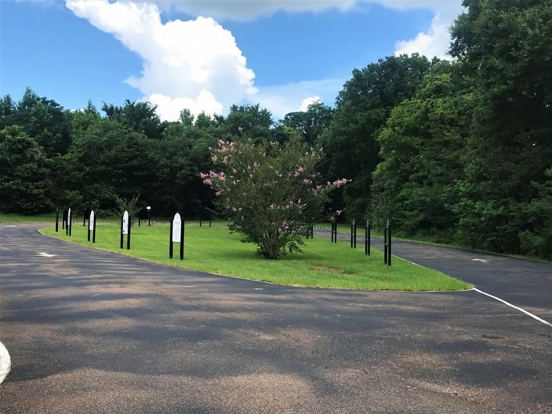
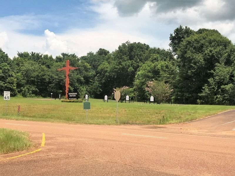
More about this marker. Located in the Mississippi Baptist Beginnings roadside display.
Credits. This page was last revised on November 24, 2022. It was originally submitted on July 14, 2017, by Cajun Scrambler of Assumption, Louisiana. This page has been viewed 233 times since then and 16 times this year. Photos: 1, 2, 3. submitted on July 14, 2017.


