Darien in McIntosh County, Georgia — The American South (South Atlantic)
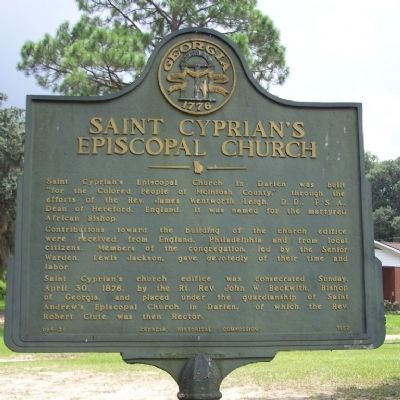
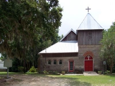
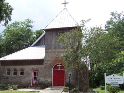
Saint Cyprian's Episcopal Church
Contributions toward the building of the church edifice were received from England, Philadelphia and from local citizens. Members of the congregation led by the Senior Warden, Lewis Jackson, gave devotedly of their time and labor.
Saint Cyprian's church edifice was consecrated Sunday April 30, 1876, by the Rt. Rev. John W. Beckwith, Bishop of Georgia, and placed under the guardianship of Saint Andrew's Episcopal Church in Darien, of which the Rev. Robert Clute was then Rector.
Erected 1957 by Georgia Historical Commission. (Marker Number 095-26.)
Topics and series. This historical marker is listed in these topic lists: African Americans • Churches & Religion • Notable Places. In addition, it is included in the Georgia Historical Society series list. A significant historical date for this entry is April 30, 1879.
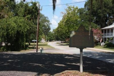
Location. 31° 22.02′ N, 81° 25.922′ W. Marker is in Darien, Georgia, in McIntosh County. Marker is on Fort King George Drive near Boone Dock Road, on the right when traveling east. Touch for map. Marker is in this post office area: Darien GA 31305, United States of America. Touch for directions.
Other nearby markers. At least 8 other markers are within walking distance of this marker. Site of Bank of Darien (about 500 feet away, measured in a direct line); Saint Andrew's Episcopal Church (about 500 feet away); Vernon Square (about 500 feet away); Methodists at Darien (approx. 0.2 miles away); The Burning of Darien (approx. 0.2 miles away); Darien Waterfront (approx. 0.2 miles away); Fort King George (approx. 0.2 miles away); Port of Darien (approx. 0.2 miles away). Touch for a list and map of all markers in Darien.
Credits. This page was last revised on June 16, 2016. It was originally submitted on August 21, 2008, by Mike Stroud of Bluffton, South Carolina. This page has been viewed 1,308 times since then and 18 times this year. Photos: 1, 2, 3. submitted on August 21, 2008, by Mike Stroud of Bluffton, South Carolina. 4. submitted on August 24, 2011, by Mike Stroud of Bluffton, South Carolina. • Christopher Busta-Peck was the editor who published this page.


