Pembroke in Renfrew County, Ontario — Central Canada (North America)
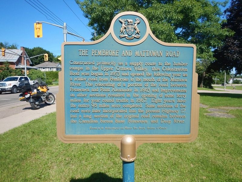
The Pembroke and Mattawan Road
Constructed primarily as a supply route to the lumber camps in the Upper Ottawa Valley, this Colonization Road was begun in 1853 and opened the following year as a winter road from Pembroke to the mouth of the Mattawa River. The relocating of a portion of the road between Petawawa and Point Alexander in 1863 and improvements on other sections resulted in the opening of some forty miles for year round traffic in 1867. Eight years later the entire 98 miles were completed. Some sections of the road were later incorporated into the present Highway 17, but a long section of the original road remains between the Canadian Forces Base Petawawa and Deep River.
Erected by Archaeological and Historic Sites Board of Ontario.
Topics. This historical marker is listed in these topic lists: Roads & Vehicles • Settlements & Settlers. A significant historical year for this entry is 1853.
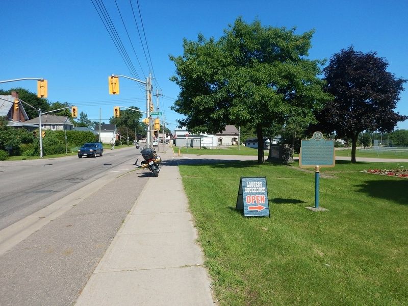
Location. 45° 49.769′ N, 77° 8.295′ W. Marker is in Pembroke, Ontario, in Renfrew County. Marker is at the intersection of Pembroke Street West and Riverside Drive, on the right when traveling west on Pembroke Street West. Marker is located near Riverside Park. Touch for map. Marker is in this post office area: Pembroke ON K8A 5P9, Canada. Touch for directions.
Other nearby markers. At least 3 other markers are within 14 kilometers of this marker, measured as the crow flies. Jeanne Lajoie (approx. 1.2 kilometers away); The Founder of Pembroke (approx. 4.2 kilometers away); First Military Test Flights (approx. 14.4 kilometers away).
Credits. This page was last revised on July 15, 2017. It was originally submitted on July 15, 2017, by Kevin Craft of Bedford, Quebec. This page has been viewed 149 times since then and 11 times this year. Photos: 1, 2. submitted on July 15, 2017, by Kevin Craft of Bedford, Quebec.

