Near Grand Gulf in Claiborne County, Mississippi — The American South (East South Central)
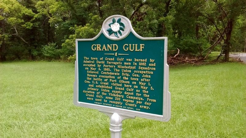
Grand Gulf
Erected 2008 by Mississippi Department of Archives and History.
Topics and series. This historical marker is listed in this topic list: War, US Civil. In addition, it is included in the Former U.S. Presidents: #18 Ulysses S. Grant, and the Mississippi State Historical Marker Program series lists. A significant historical date for this entry is May 3, 1863.
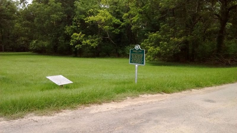
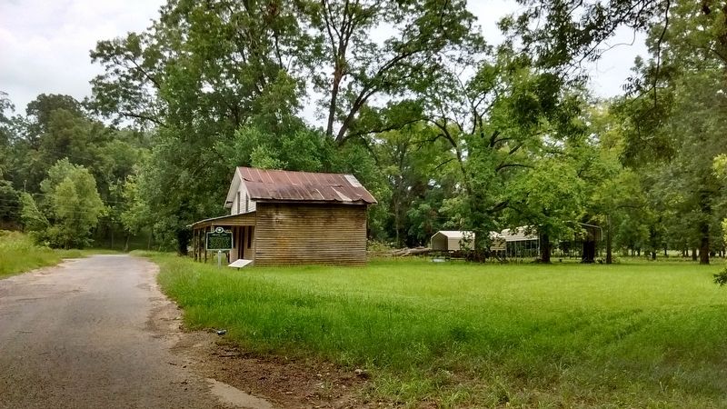
Location. 32° 1.975′ N, 91° 3.244′ W. Marker is near Grand Gulf, Mississippi, in Claiborne County. Marker is on Grand Gulf Road, 1.1 miles north of Frazier Road, on the left when traveling north. Touch for map. Marker is in this post office area: Port Gibson MS 39150, United States of America. Touch for directions.
Other nearby markers. At least 8 other markers are within walking distance of this marker. Town of Grand Gulf (here, next to this marker); On to Vicksburg (about 300 feet away, measured in a direct line); Confederate Rifle Pits (about 600 feet away); Fort Wade (about 600 feet away); Fort Wade Ammunition Magazine (about 700 feet away); Victories and Defeats - The Cost of War (about 700 feet away); First Grand Gulf Naval Battle (about 700 feet away); This XIII-inch Mortar (about 700 feet away). Touch for a list and map of all markers in Grand Gulf.
Also see . . . The Battle of Grand Gulf. (Submitted on July 17, 2017, by Tom Bosse of Jefferson City, Tennessee.)
Credits. This page was last revised on July 18, 2017. It was originally submitted on July 17, 2017, by Tom Bosse of Jefferson City, Tennessee. This page has been viewed 246 times since then and 9 times this year. Photos: 1, 2, 3. submitted on July 17, 2017, by Tom Bosse of Jefferson City, Tennessee. • Bernard Fisher was the editor who published this page.


