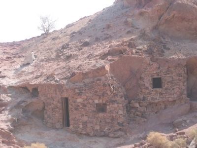
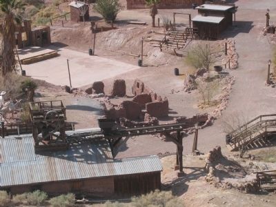
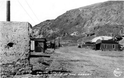
Yermo in San Bernardino County, California — The American West (Pacific Coastal)
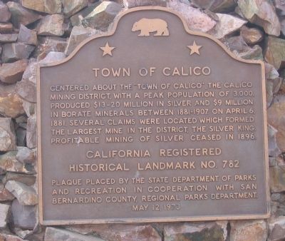
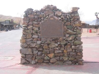
Town of Calico
Erected 1973 by State Department of Parks and Recreation in Cooperation with San Bernadino County, Regional Park Department (May 12, 1973). (Marker Number 782.)
Topics and series. This historical marker is listed in these topic lists: Industry & Commerce • Landmarks • Notable Places. In addition, it is included in the California Historical Landmarks series list. A significant historical month for this entry is April 1850.
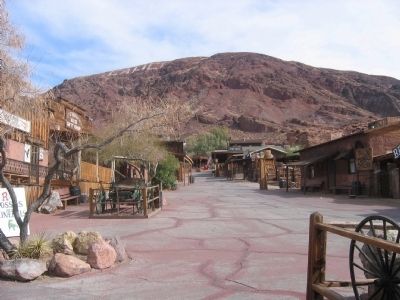
Location. 34° 56.892′ N, 116° 51.904′ W. Marker is in Yermo, California, in San Bernardino County. Marker can be reached from Ghost Town Road, 4 miles north of Interstate 15. This marker is along the main street of Calico. Touch for map. Marker is in this post office area: Yermo CA 92398, United States of America. Touch for directions.
Other nearby markers. At least 8 other markers are within 6 miles of this marker, measured as the crow flies. Calico Lives Again (here, next to this marker); Lucy Bell Lane (about 500 feet away, measured in a direct line); Calico’s School House (approx. ¼ mile away); Liberty Sculpture Park (approx. 3.1 miles away); Statue of Li Wangyang (approx. 3.1 miles away); Original Del Taco (approx. 3.9 miles away); Daggett (approx. 5.8 miles away); Daggett Garage (approx. 6 miles away). Touch for a list and map of all markers in Yermo.
Regarding Town of Calico. The town of Calico is part of the Calico Regional Park and is a California Registered Historical Landmark (No. 782).
Also see the nearby Calico Lives Again and Lucy Bell Lane markers.
Also see . . .
1. Calicotown. (Submitted on August 21, 2008.)
2. Ghost Towns: Calico. (Submitted on August 22, 2008.)
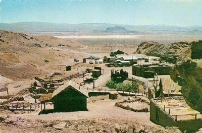
Published and Distributed by Columbia Wholesale Supply
7. Calico Ghost Town
Description on Postcard:
Nine miles East of Barstow, California
Four miles West of Yermo, off Highway 91
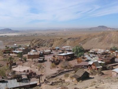
A general view of the largest silver producing camp in Southern California. 1881 - 1896. Population 1890-3,500. Over $68,000,000 in silver was taken from Calico. (This is a restoration project of Knott's Berry Farm.)
Credits. This page was last revised on February 29, 2024. It was originally submitted on August 21, 2008, by Syd Whittle of Mesa, Arizona. This page has been viewed 1,603 times since then and 71 times this year. Photos: 1, 2, 3, 4, 5, 6. submitted on August 21, 2008, by Syd Whittle of Mesa, Arizona. 7, 8. submitted on October 28, 2008, by Syd Whittle of Mesa, Arizona. • Kevin W. was the editor who published this page.
