Vidalia in Concordia Parish, Louisiana — The American South (West South Central)
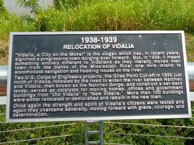
Relocation of Vidalia
1938–1939
Two U.S. Corps of Engineers projects, the Giles Point Cut-off in 1935 just north of Vidalia, followed by the need to widen the river between Natchez and Vidalia, then known as Natchez Gorge, and construct a set-back levee, served as catalysts for moving homes, offices and government buildings from "Old Vidalia" to "New Vidalia." More than 100 buildings were either relocated or demolished and rebuilt in the new town.
Once again the strength and spirit of Vidalia's citizens were tested and again they overcame adversity, moving forward with grace, courage, and determination.
Topics. This historical marker is listed in these topic lists: Settlements & Settlers • Waterways & Vessels. A significant historical year for this entry is 1938.
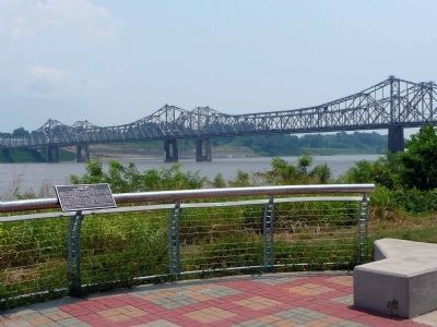
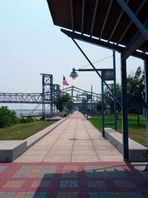
Location. 31° 33.867′ N, 91° 25.183′ W. Marker is in Vidalia, Louisiana, in Concordia Parish. Marker can be reached from Concordia Avenue. Marker is on the Vidalia Landing Riverwalk, off Highway 84. Touch for map. Marker is in this post office area: Vidalia LA 71373, United States of America. Touch for directions.
Other nearby markers. At least 8 other markers are within walking distance of this marker. Sidney A. Murray, Jr., Hydroelectric Station (within shouting distance of this marker); Great Mississippi River Flood of 1927 (about 400 feet away, measured in a direct line); James Bowie (about 500 feet away); Mississippi River (about 600 feet away); Post of Concord Established (approx. 0.2 miles away); Natchez (approx. half a mile away); Natchitoches - Natchez Road (approx. half a mile away); Natchez Under-the-Hill - Life on the Riverfront (approx. 0.6 miles away in Mississippi). Touch for a list and map of all markers in Vidalia.
Credits. This page was last revised on January 4, 2020. It was originally submitted on August 22, 2008, by Karen Key of Sacramento, California. This page has been viewed 2,132 times since then and 44 times this year. Photos: 1, 2, 3, 4. submitted on August 22, 2008, by Karen Key of Sacramento, California.


