Near Preston in Franklin County, Idaho — The American West (Mountains)
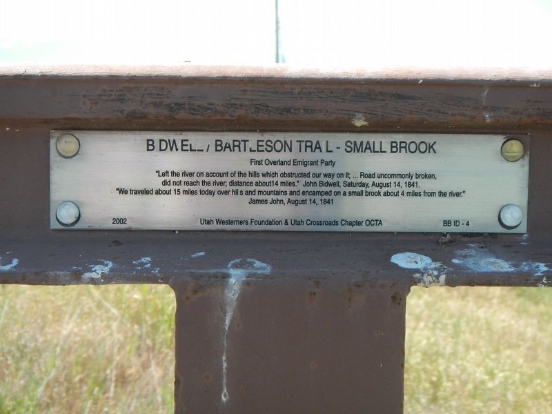
Bidwell/Bartleson Trail - Small Brook
"Left the river on account of the hills which obstructed our way on it, ... Road uncommonly broken, did not reach the river, distance about 4 miles" -- John Bidwell, Saturday, August 14, 1841
"We traveled about 15 miles today over hills and mountains and encamped on a small brook about 4 mile from the river." -- James John, August 14, 1841
Erected 2002 by Utah Westerners Foundation & Oregon California Trails Association, Utah Crossroads Chapter. (Marker Number BB ID-4.)
Topics and series. This historical marker is listed in these topic lists: Roads & Vehicles • Settlements & Settlers. In addition, it is included in the California Trail, and the Oregon Trail series lists. A significant historical date for this entry is August 14, 1841.
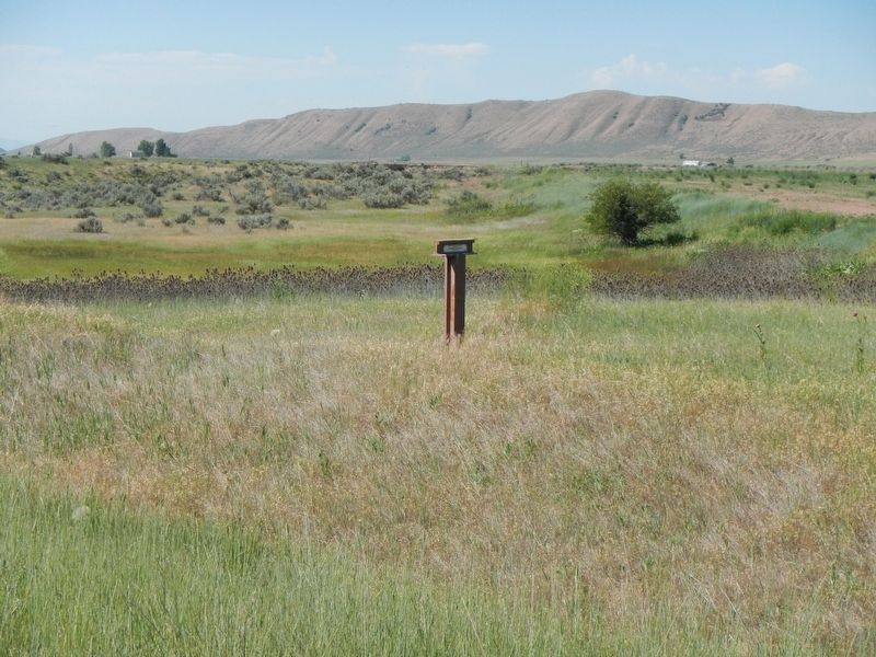
Location. 42° 11.859′ N, 111° 55.342′ W. Marker is near Preston, Idaho, in Franklin County. Marker is on U.S. 91 near West 5000 North, on the right when traveling north. Touch for map. Marker is at or near this postal address: 6002 US 91, Preston ID 83263, United States of America. Touch for directions.
Other nearby markers. At least 8 other markers are within 4 miles of this marker, measured as the crow flies. The Shoshone (approx. 3.2 miles away); The Earth Will Remember (approx. 3.2 miles away); A Battle Becomes a Massacre (approx. 3.2 miles away); Shoshone Bear River Winter Home (approx. 3.2 miles away); Attack at Bia Ogoi (approx. 3.2 miles away); Change and Conflict (approx. 3.2 miles away); California Volunteers March to the Bear River (approx. 3.2 miles away); Utah & Northern Railway (approx. 4 miles away). Touch for a list and map of all markers in Preston.
Also see . . . The Bidwell-Bartleson Party 1841 -- ScienceViews. Science Views website entry:
The Bidwell-Bartleson party of 1841 even after 156 years still has not has not received the full acknowledgement for their accomplishments. They proved that overland travel to California was feasible and possible even with wagons. With an experience and knowledgeable guide they would have established the wagon road to California that could have been used by the thousands of future emigrants. (Submitted on July 19, 2017, by Barry Swackhamer of Brentwood, California.)
Credits. This page was last revised on November 30, 2021. It was originally submitted on July 19, 2017, by Barry Swackhamer of Brentwood, California. This page has been viewed 304 times since then and 21 times this year. Photos: 1, 2, 3. submitted on July 19, 2017, by Barry Swackhamer of Brentwood, California.


