Near Momence in Kankakee County, Illinois — The American Midwest (Great Lakes)
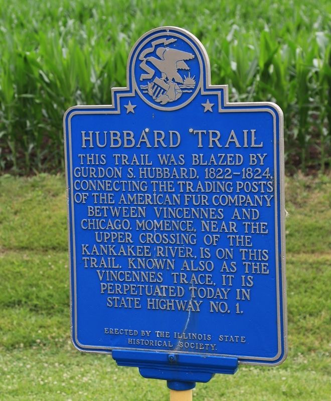
Hubbard Trail
Erected by the Illinois State Historical Society.
Topics and series. This historical marker is listed in these topic lists: Roads & Vehicles • Settlements & Settlers. In addition, it is included in the Illinois State Historical Society series list. A significant historical year for this entry is 1822.
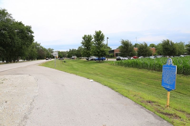
Location. 41° 9.483′ N, 87° 40.108′ W. Marker is near Momence, Illinois, in Kankakee County. Marker is on Illinois Route 1 just north of East River South Road when traveling north. Touch for map. Marker is in this post office area: Momence IL 60954, United States of America. Touch for directions.
Other nearby markers. At least 6 other markers are within 8 miles of this marker, measured as the crow flies. Dixie Highway Connected Chicago to Miami in the Early Days of Automobile Travel (approx. 0.4 miles away); First National Bank (approx. half a mile away); Gettysburg Address (approx. half a mile away); Edward Chipman Public Library (approx. 0.6 miles away); Walter Andrew and George Hess, Pioneers (approx. 4 miles away); McHie Ferry (approx. 7.4 miles away).
Also see . . . Hubbard’s Trace. “Beginning in 1822, Hubbard began moving his trade goods by pack ponies from his 80 acre farm on the Iroquois River north of Danville, south along an old buffalo trace, known as the Vincennes Trail. He took his hogs and cattle to sell at the population, transportation and market center of Vincennes, Indiana on the Wabash River. Later in the spring of 1822 he walked from his Iroquois River Station up the old Vincennes Trail to Chicago in three days. Following that he would use the trail to carry traded goods from Chicago to the south, and to bring his furs north. He established trading posts every forty to fifty miles. Over the following years traffic increased as settlers from the east moved into the Indiana and Illinois farmlands. Hubbard’s livestock, and their wagons, widened and hardened the trail into a road. It began to be known as Hubbard’s Trace or Hubbard’s Trail.” (Submitted on July 19, 2017.)
Credits. This page was last revised on July 19, 2017. It was originally submitted on July 19, 2017, by J. J. Prats of Powell, Ohio. This page has been viewed 844 times since then and 73 times this year. Photos: 1, 2, 3. submitted on July 19, 2017, by J. J. Prats of Powell, Ohio.


