Livingston Manor in Sullivan County, New York — The American Northeast (Mid-Atlantic)
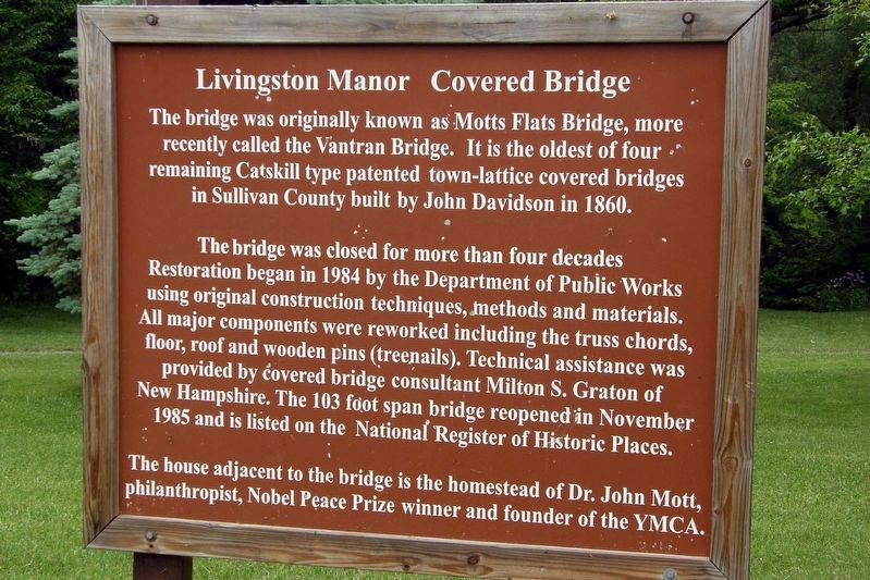
Livingston Manor Covered Bridge
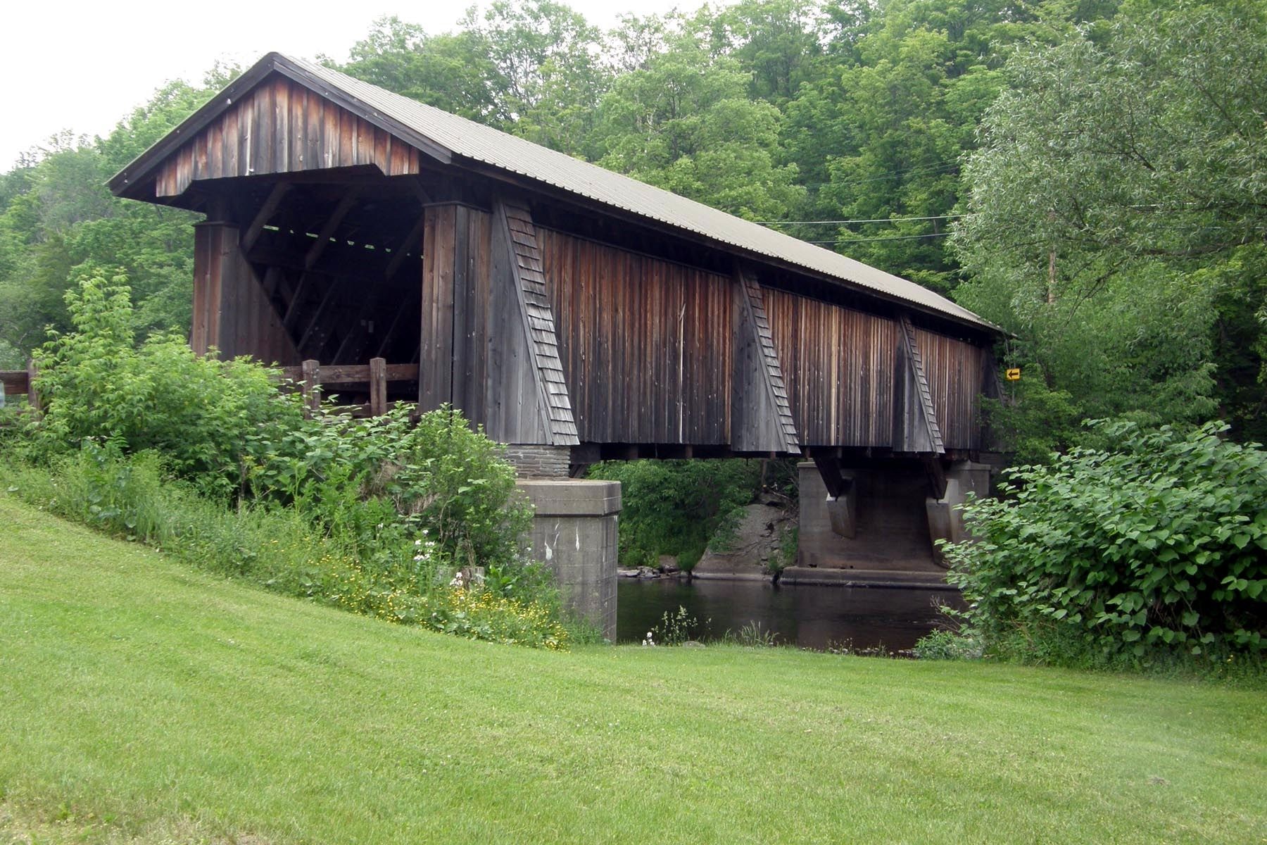
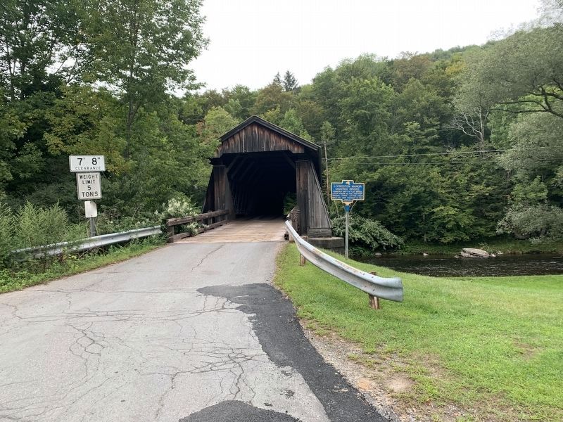
The bridge was originally known as Motts Flat Bridge, more recently called the Vantran Bridge. It is the oldest of four remaining Catskill type patented town-lattice covered bridges in Sullivan County built by John Davidson in 1860.
The bridge was close for more than four decades. Restoration began in 1984 by the Department of Public Works using original construction techniques, methods and materials. All major components were reworked including the truss chords, floor, roof and wooden pins (treenails). Technical assistance was provided by covered bridge consultant Milton S. Graton of New Hampshire. The 103 foot span bridge reopened in November 1985 and is listed on the National Register of Historic Places.
The house adjacent to the bridge is the homestead of Dr. John Mott, philanthropist, Nobel Peace Prize winner and founder of the YMCA.
Topics and series. This historical marker is listed in this topic list: Bridges & Viaducts. In addition, it is included in the Covered Bridges series list. A significant historical year for this entry is 1860.
Location. Marker has been reported missing. It was located near 41° 54.883′ N, 74° 49.9′ W. Marker was in Livingston Manor, New York, in Sullivan County. Marker was on Covered Bridge Road , on the left when traveling north. Touch for map. Marker was in this post office area: Livingston Manor NY 12758, United States of America. Touch for directions.
Other nearby markers. At least 8 other markers are within 5 miles of this location, measured as the crow flies. A different marker also named Livingston Manor Covered Bridge (here, next to this marker); Rediscover Sherwood Island (approx. 0.9 miles away); Congregation Agudas Achim (approx. one mile away); a different marker also named Congregation Agudas Achim (approx. one mile away); John R. Mott (approx. 1.1 miles away); The Catskill Mountains (approx. 1.8 miles away); “They Came to the Mountains by Rail” (approx. 1.8 miles away); Westfield Flats Cemetery (approx. 4.3 miles away). Touch for a list and map of all markers in Livingston Manor.
Credits. This page was last revised on August 31, 2021. It was originally submitted on July 20, 2017, by Larry Gertner of New York, New York. This page has been viewed 362 times since then and 47 times this year. Last updated on August 29, 2021, by Steve Stoessel of Niskayuna, New York. Photos: 1, 2. submitted on July 20, 2017, by Larry Gertner of New York, New York. 3. submitted on August 29, 2021, by Steve Stoessel of Niskayuna, New York. • Bill Pfingsten was the editor who published this page.


