Mandeville in St. Tammany Parish, Louisiana — The American South (West South Central)
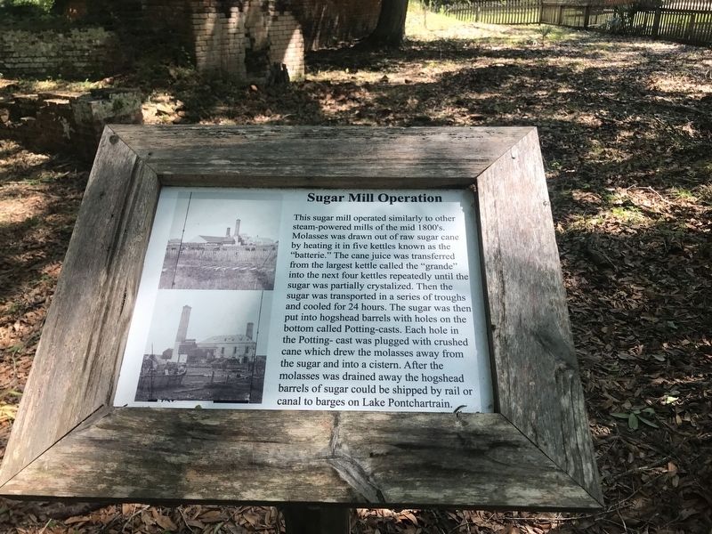
Sugar Mill Operation
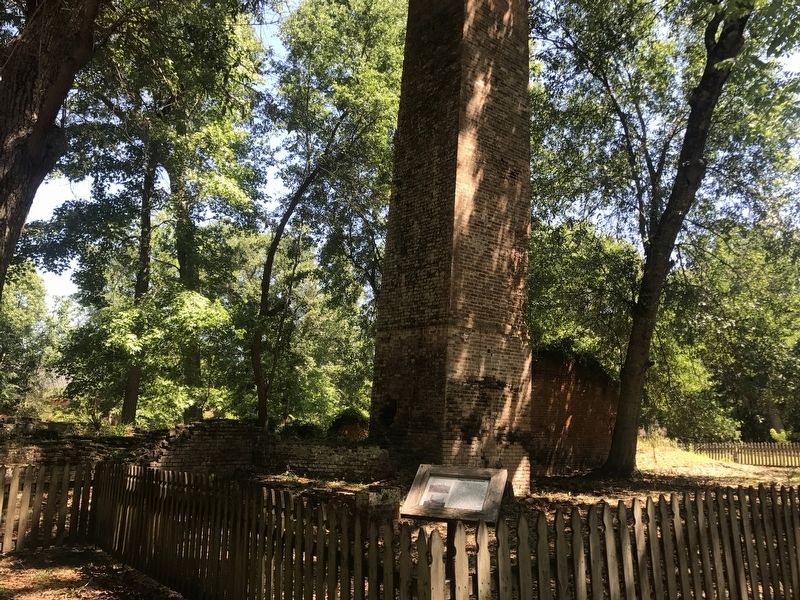
This sugar mill operated similarly to other steam-powered mills of the mid 1800's. Molasses was drawn out of raw sugar cane by heating it in five kettles known as the "batterie." The cane juice was transferred from the largest kettle called the "grande" into the next four kettles repeatedly until the sugar was partially crystalized (sic). Then the sugar is transported in a series of troughs and cooled for 24 hours. The sugar was then put into hogshead barrels with holes on the bottom called Potting-casts. Each hole in the Potting-cast was plugged with crushed cane which drew the molasses away from the sugar and into a cistern. After the molasses was drained away the hogshead barrels of sugar could be shipped by rail or canal to barges on Lake Pontchartrain.
Topics. This historical marker is listed in these topic lists: Agriculture • Industry & Commerce.
Location. 30° 20.227′ N, 90° 2.296′ W. Marker is in Mandeville, Louisiana, in St. Tammany Parish. Marker is on Group Camp Road (Parish Highway 1089) one mile south of U.S. 190. Located inside the Fontainebleau State Park. Touch for map. Marker is in this post office area: Mandeville LA 70471, United States of America. Touch for directions.
Other nearby markers. At least 8 other markers are within 4 miles of this marker, measured as the crow flies. Fontainebleau Plantation Sugar Mill (within shouting distance of this marker); The Enslaved (about 400 feet away, measured in a direct line); Native Peoples (approx. 0.3 miles away); Pottery Hill (approx. 1.3 miles away); Battle of Lake Pontchartrain (approx. 1.6 miles away); Our Lady Of The Lake Church (approx. 2.3 miles away); Greater Mandeville Veterans Memorial (approx. 3˝ miles away); Lake Pontchartrain Causeway Bridge (approx. 3.9 miles away). Touch for a list and map of all markers in Mandeville.
More about this marker. Entrance fee is $3.00 USD as of June, 2017.
Credits. This page was last revised on October 29, 2020. It was originally submitted on July 20, 2017, by Cajun Scrambler of Assumption, Louisiana. This page has been viewed 426 times since then and 36 times this year. Photos: 1, 2. submitted on July 20, 2017.

